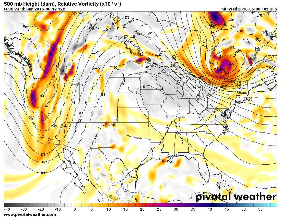
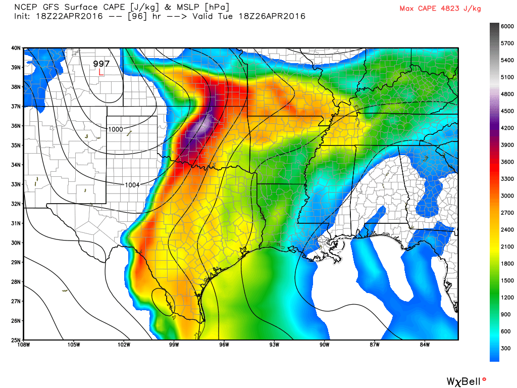
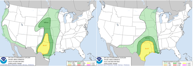
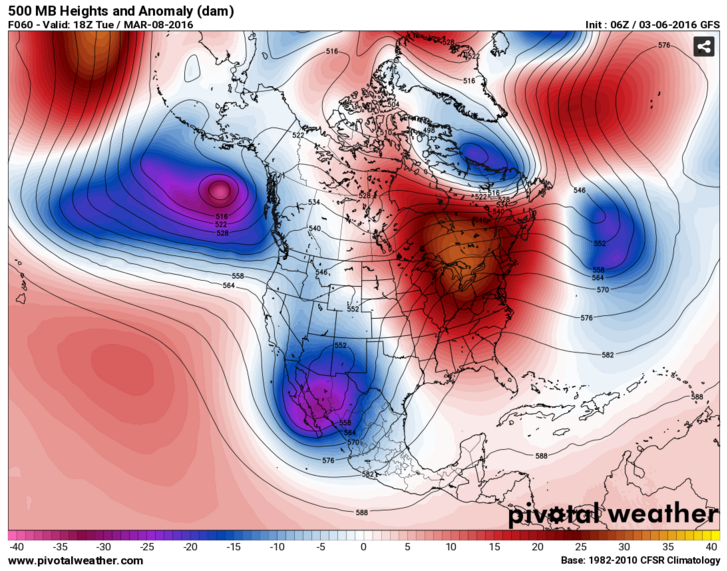
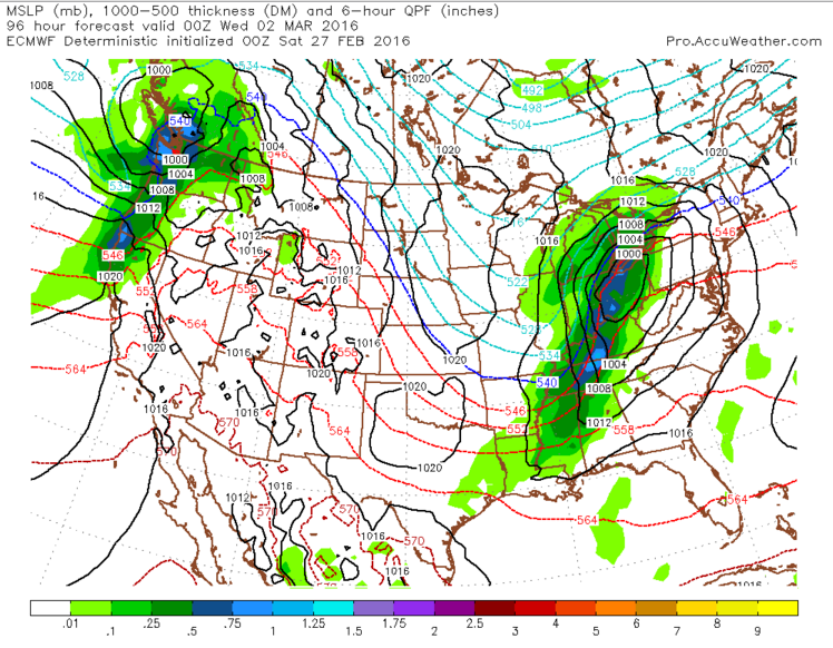
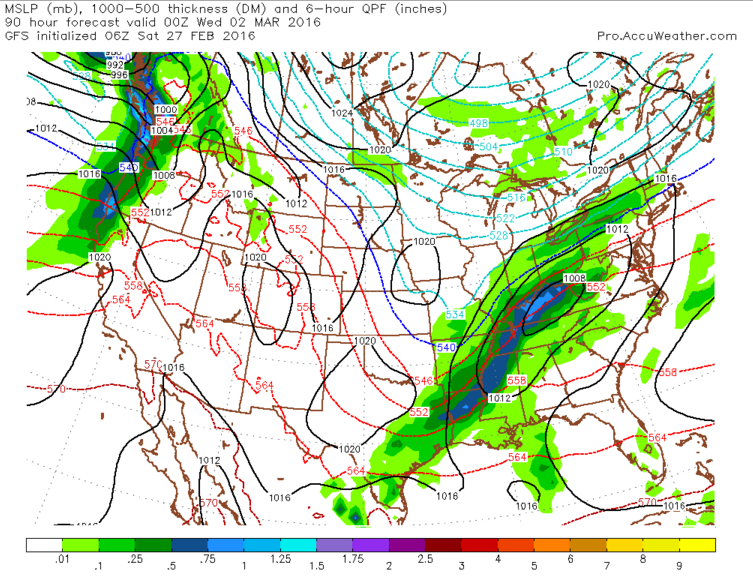
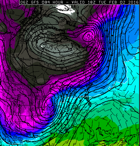
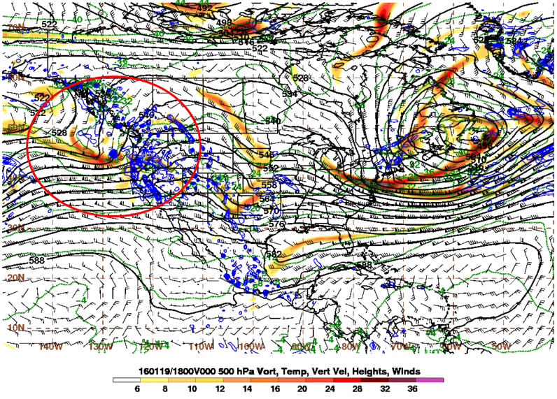
After Sunday’s cold front ushers in cooler and drier air for Monday in the Northern Plains, a warm front will push north Tuesday. This warm front is attached to a low pressure system that will be moving northeast through the Rockies and into the Northern Plains. Areas in between the northward moving warm front and the southeastward moving cold front could see some strong to severe thunderstorms on Tuesday. This would mainly occur in the eastern Central Plains and portions of the Middle Mississippi Valley where convective energy, CAPE, and turning of the winds, shear, overlap to be able to support these storms.
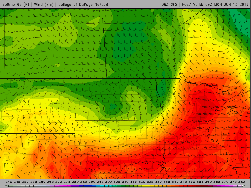
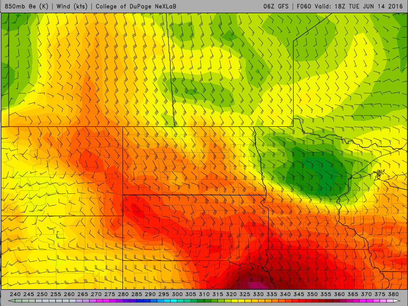
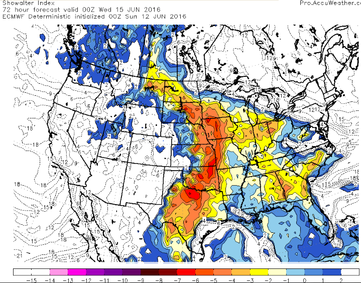
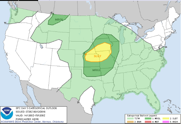
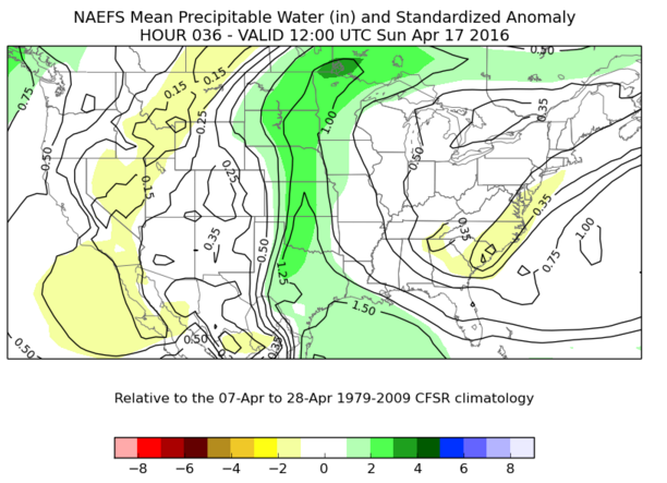
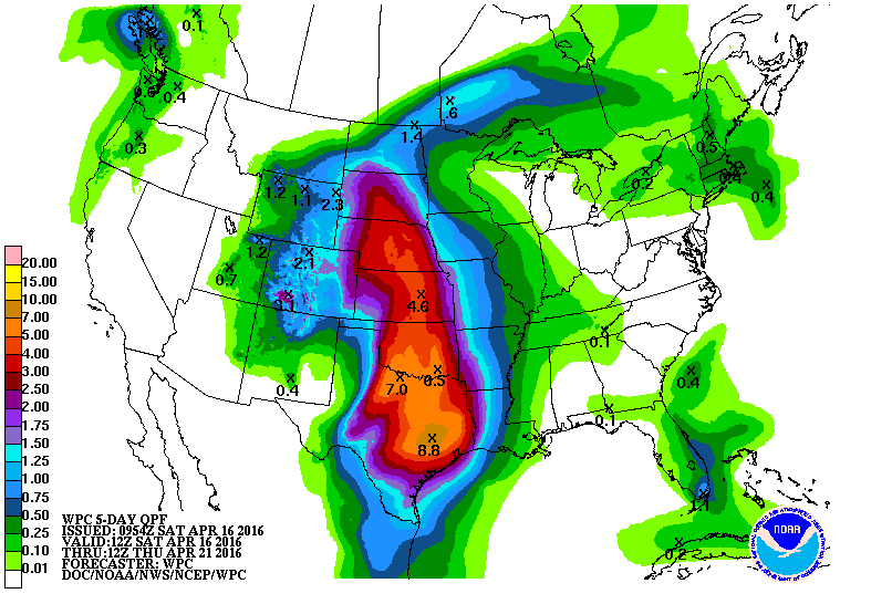
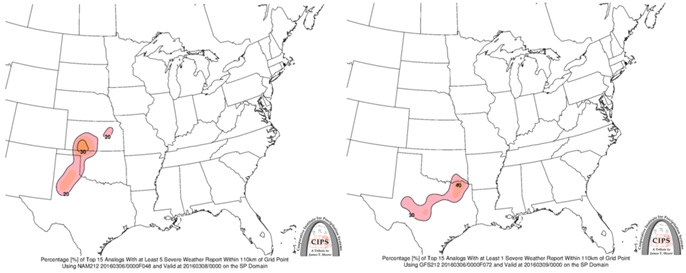
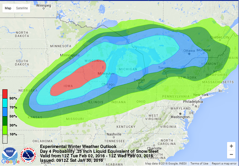
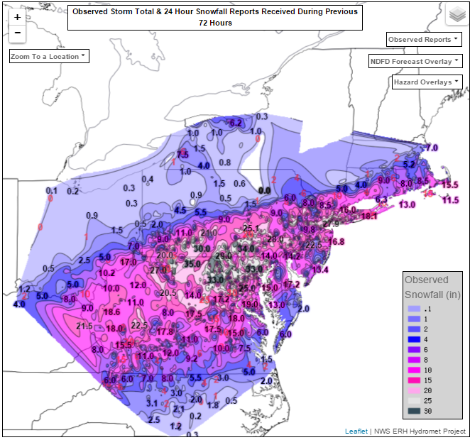
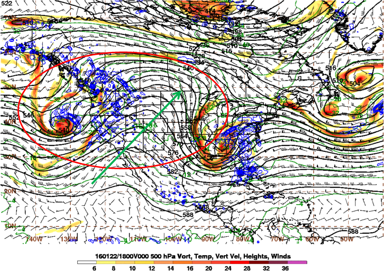
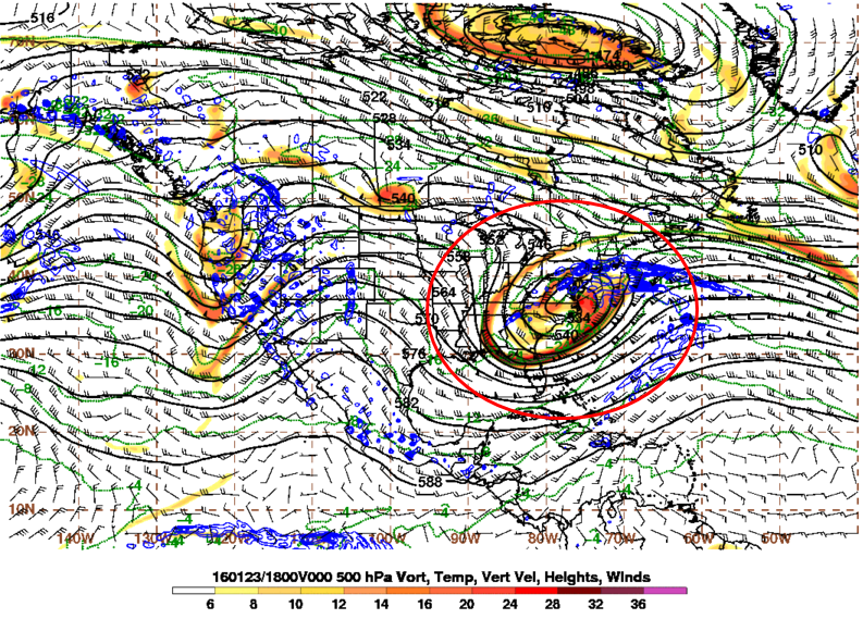
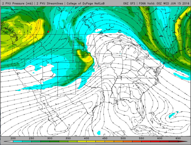
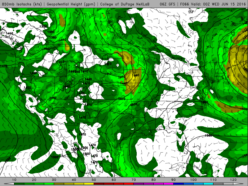
Farther north along the warm front in the Northern Plains, factors like limited sun exposure, saturated atmospheric columns and a lack of a shear/CAPE overlap may preclude strong to severe thunderstorms all together. There is some question as to how far north the warm front will be able to push into North Dakota so if it is able to push farther north and allow more sun, some strong to possibly severe thunderstorms may occur. At the very least, some thunderstorms may be embedded in what does appear to be a heavy rain event as a result of a vigorous upper level disturbance that appears to go negatively tilted in the upper levels of the atmosphere. This negative tilt allows for a strong draw of moisture into the system as a result of a strong low level jet stream. At the same time, very moist low levels and total column precipitable water values between 1.5 and 2 inches get wrapped around the northeastward moving low pressure system bringing the potential for a heavy rain event into the Northern Plains. Furthermore, large scale lift as a result of a collocated upper level jet stream will help to support the event. All told, 1 to 2.5 inches of precipitation in 24 hours from morning Tuesday to morning Wednesday seems reasonable for this event, but could be higher in any embedded thunderstorm.
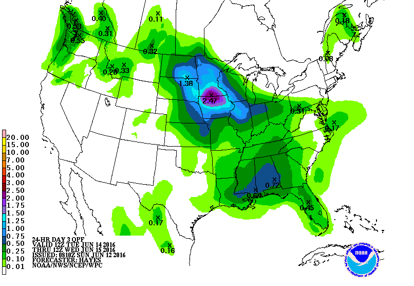
It is also interesting to note that the ECMWF model contains around an inch less of precipitation than the GFS model, with the NAM model being closer to the mean of the two models despite the ECMWF model reaching the above parameters. With this in mind, it appears any flooding risk would be low, but could still occur if the higher end of the precipitation range is realized.
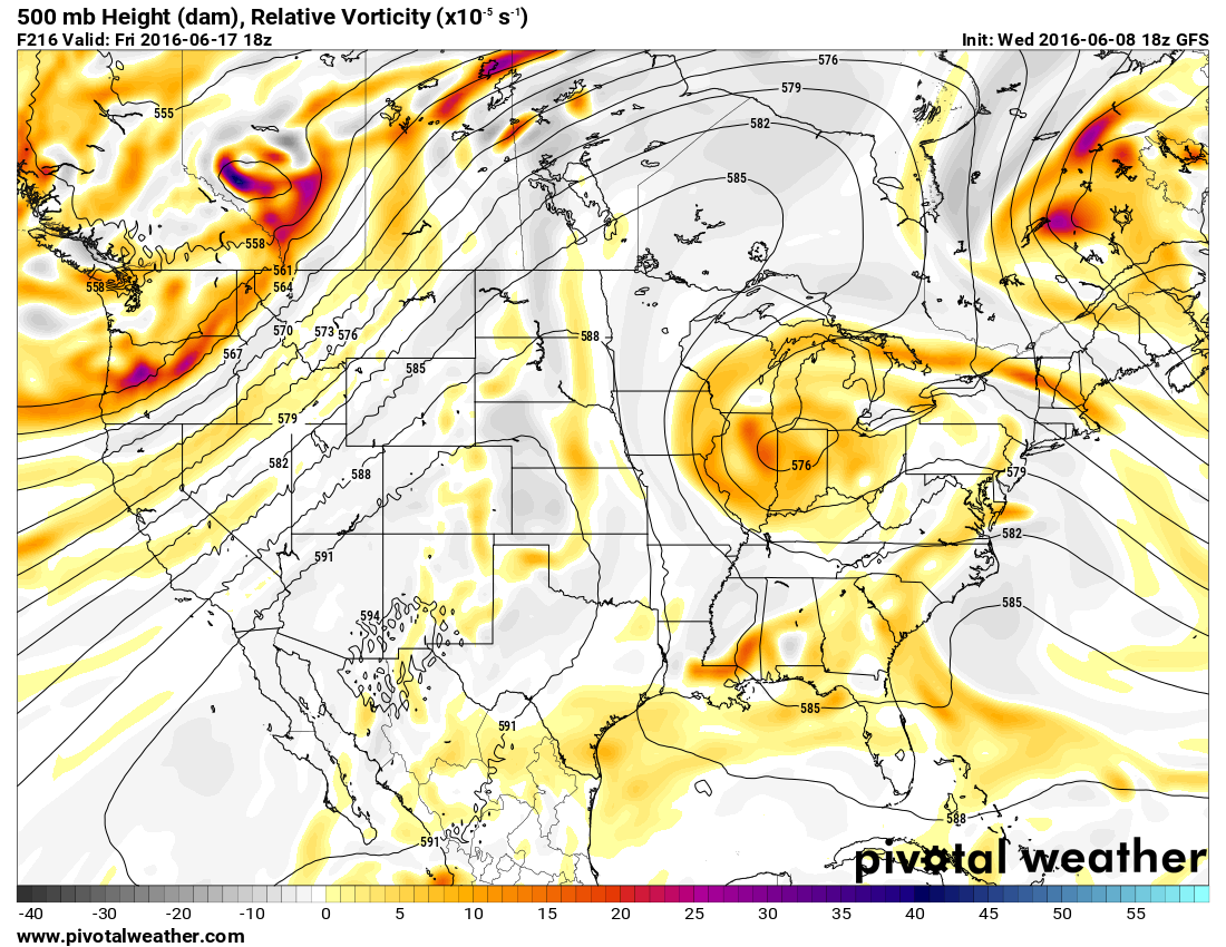
The low pressure system is forecast to move away from the Northern Plains allowing for drier air to come in for Wednesday and Thursday. However, clouds are forecast to return as another low pressure system ejects off the Rockies for Friday allowing for some more rain.