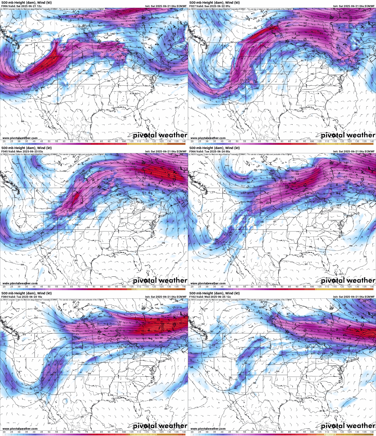
Much of the Spring has featured an upper-level trough of low pressure across the Northeast, but that will change this weekend.
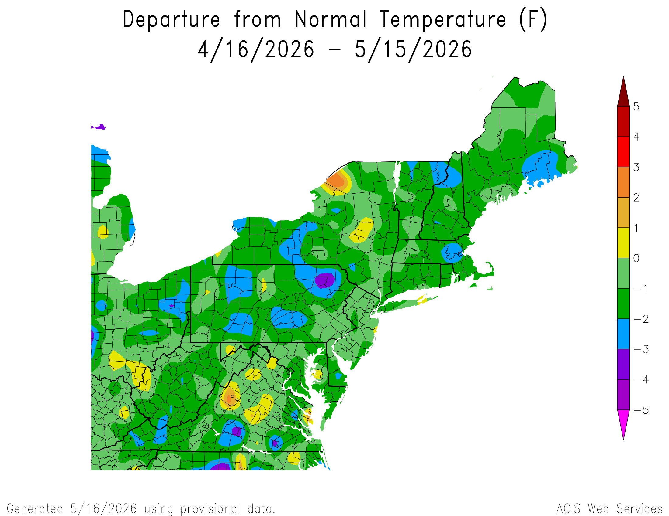
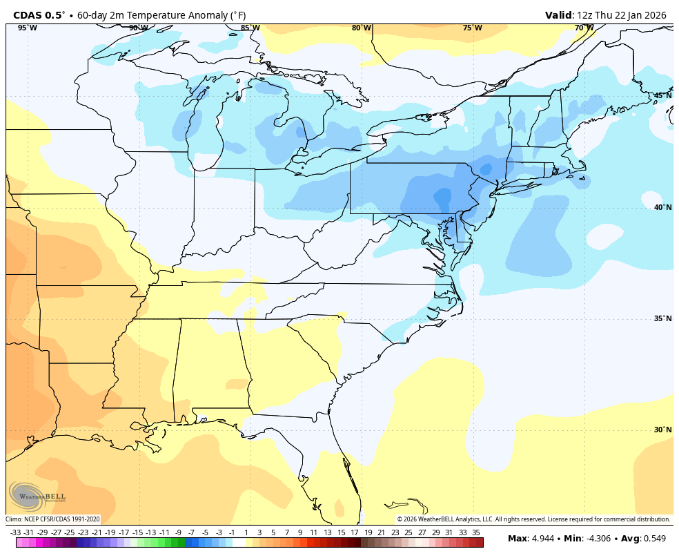
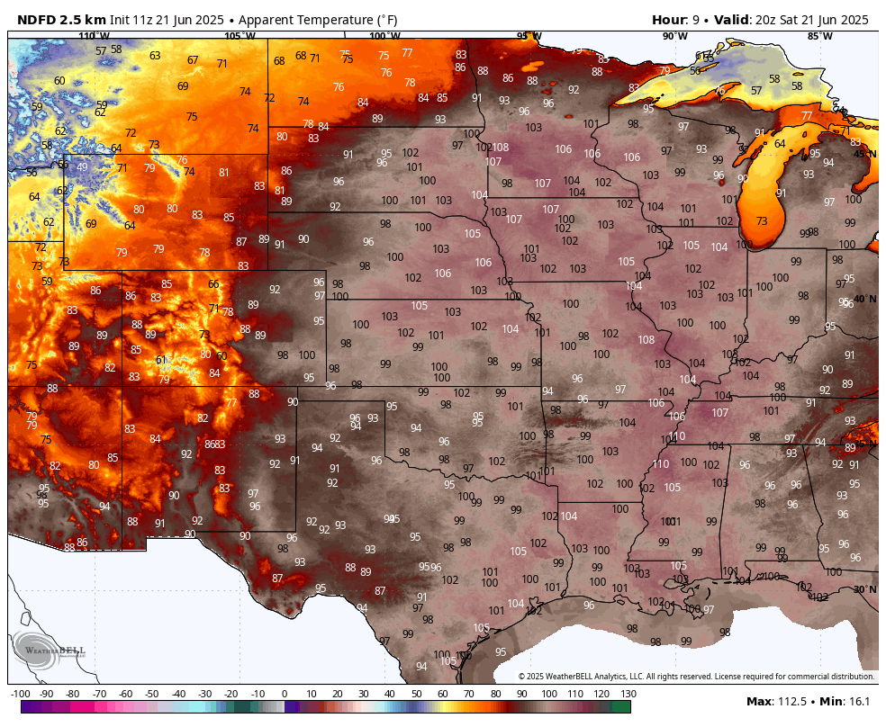
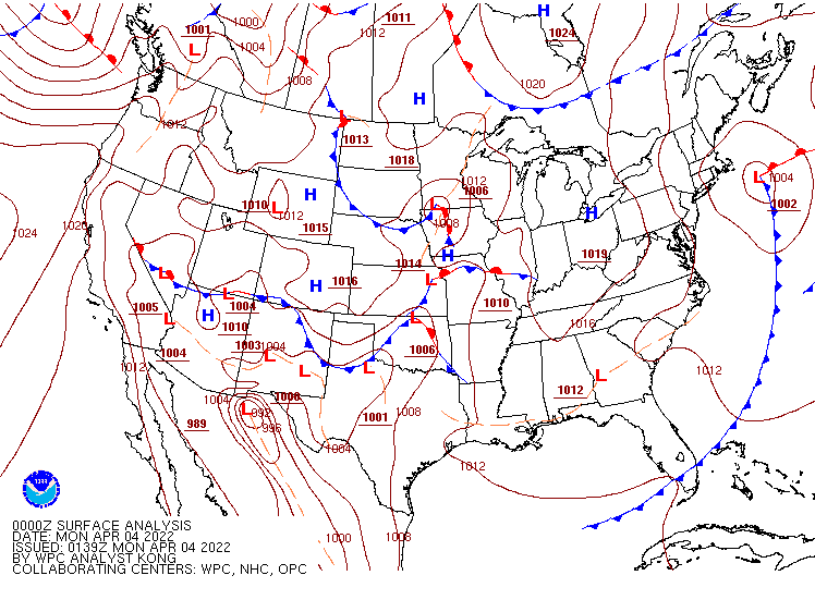
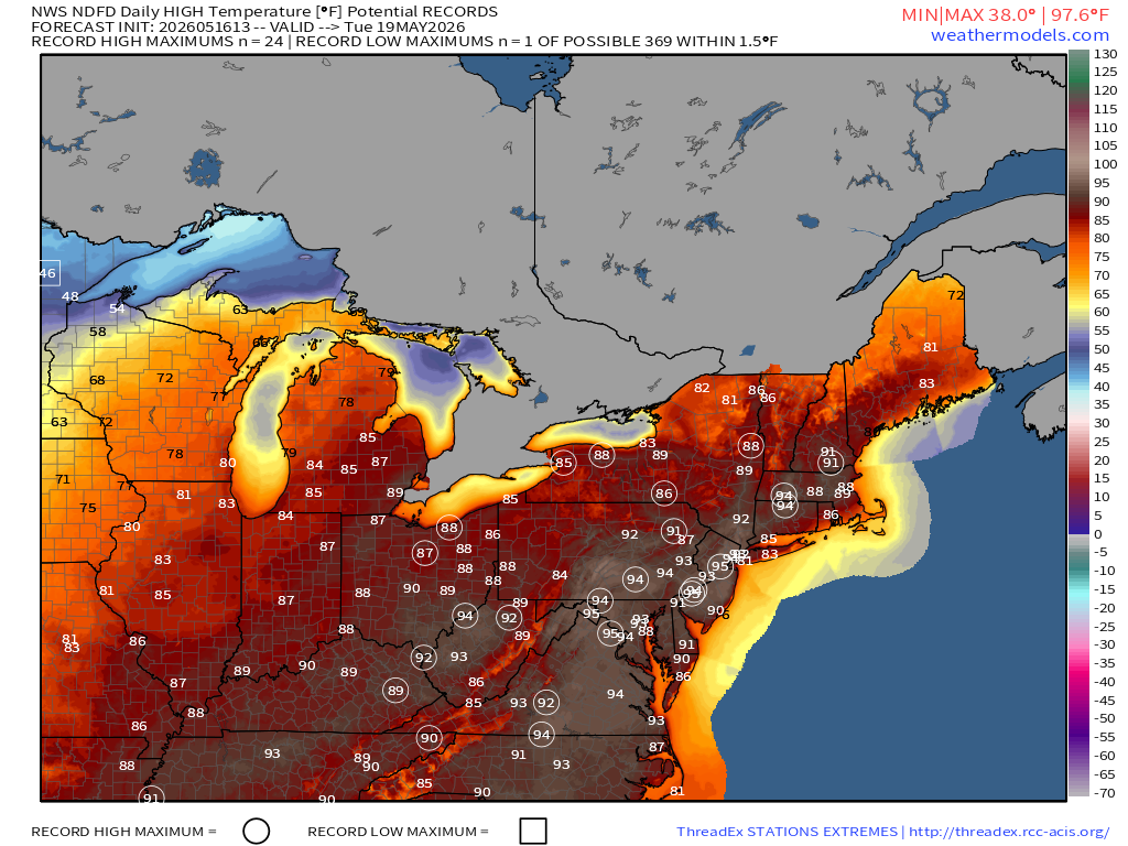
A persistent trough of low pressure has kept temperatures below normal across the Northeast for much of the past several weeks, but a ridge of high pressure will build in this weekend, both at the surface and aloft, resulting in some much warmer weather. Temperatures will get well into the 70s and 80s this weekend, with some spots topping 90. A weak backdoor cold front will bring cooler weather to parts of New England Sunday night and Monday, with temperatures only in the 60s and lower 70s, especially near the coastline, but inland areas, especially outside of New England, should get well into the 80s and lower 90s.
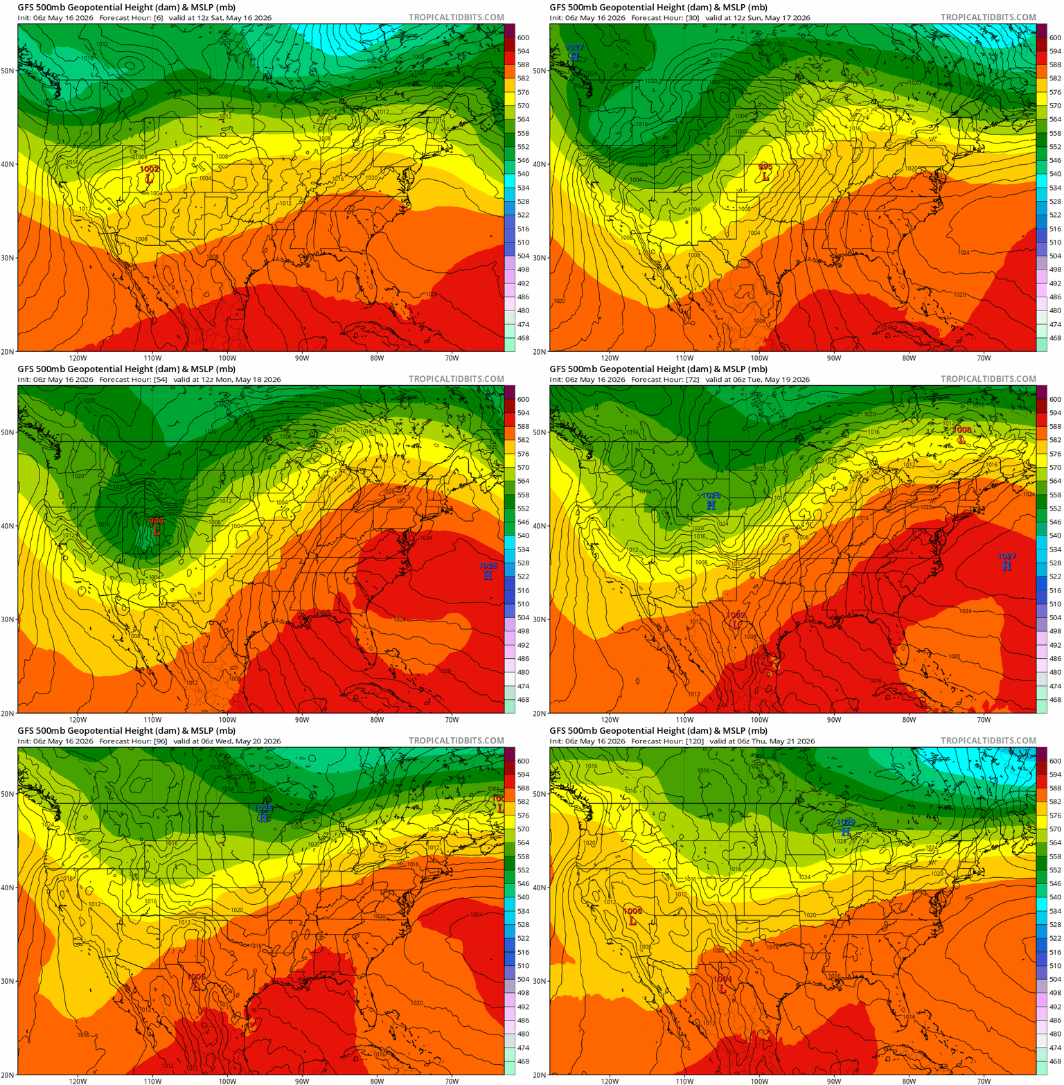
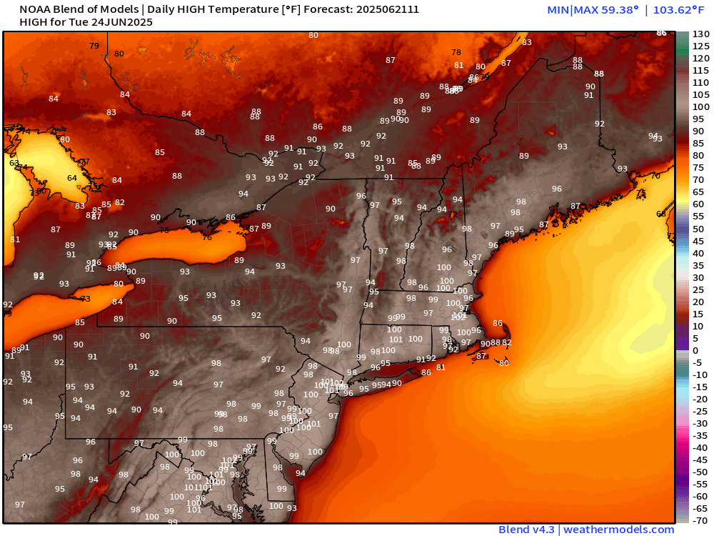
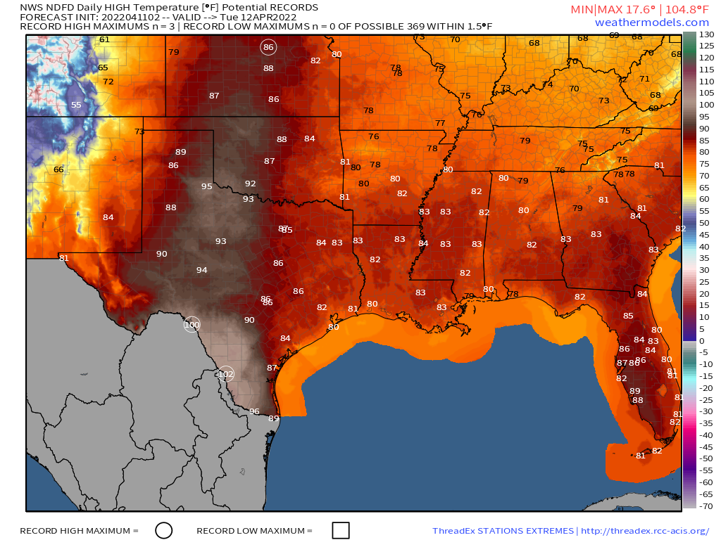
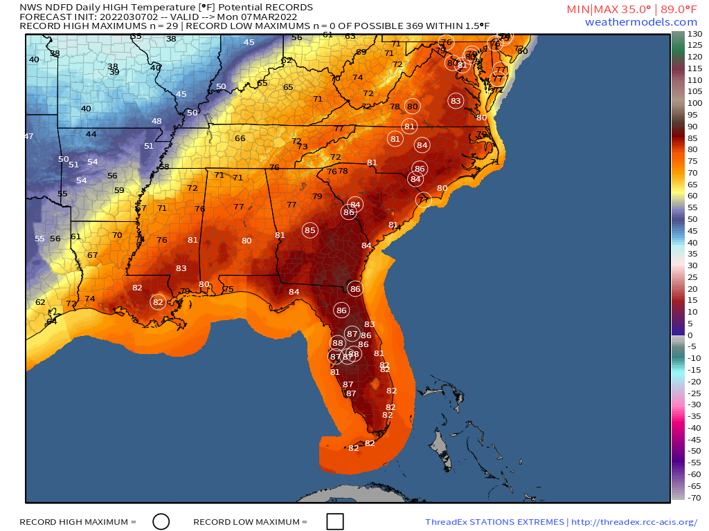
The warmest weather is expected Tuesday and Wednesday with high pressure anchored offshore. Southwest winds will bring warm and increasingly humid air to much of the East Coast, with high temperatures well into the 80s and 90s, likely setting records in many locations along the Interstate-95 corridor. Anyone heading to the beach for relief should remember that the water is still relatively cold as it is early in the season. Water temperatures are only in the 40s and 50s off the coast of New England, and 50s and 60s off the Mid-Atlantic coastline. A strong cold front will bring an end to the heat later Wednesday, possibly with some strong to severe thunderstorms accompanying that front.
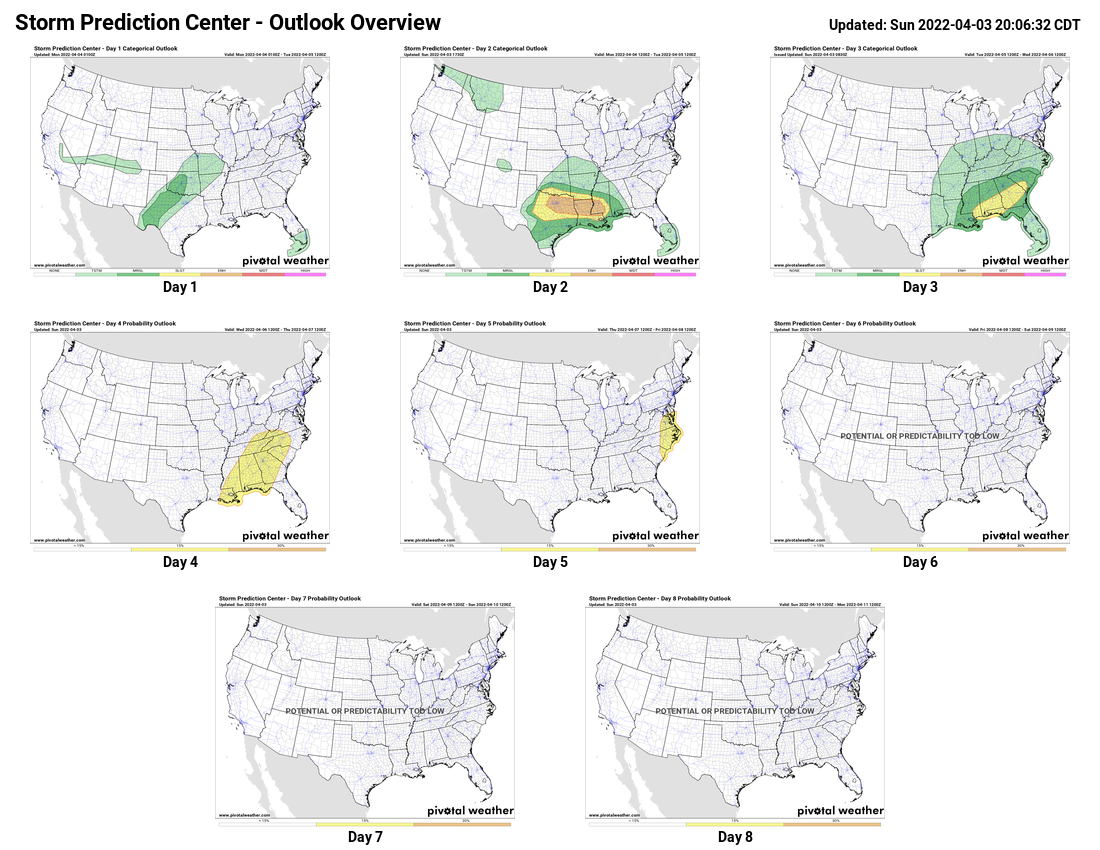
While areas in the East Coast are looking at the potential for severe weather on Wednesday, many spots in the Plains states and Midwest could see several waves of severe weather over the next few days.
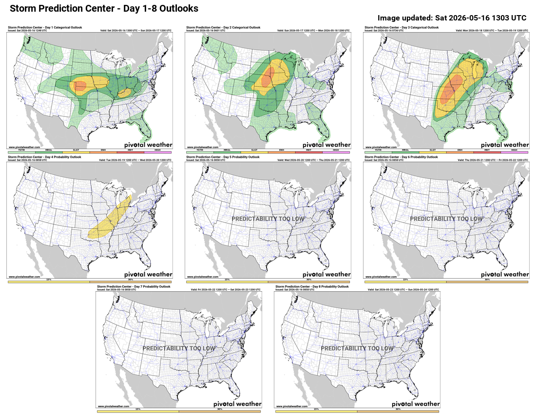
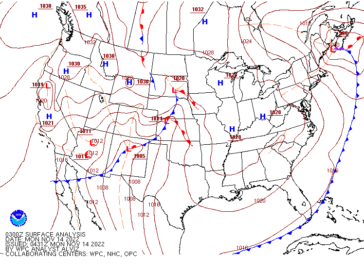
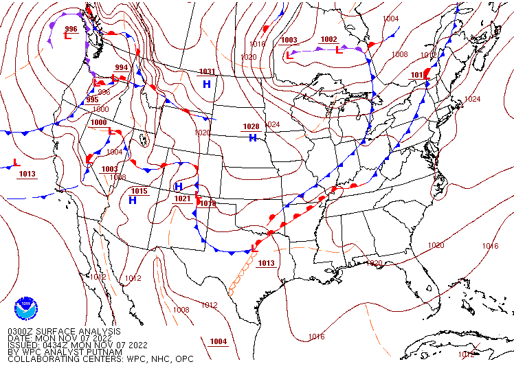
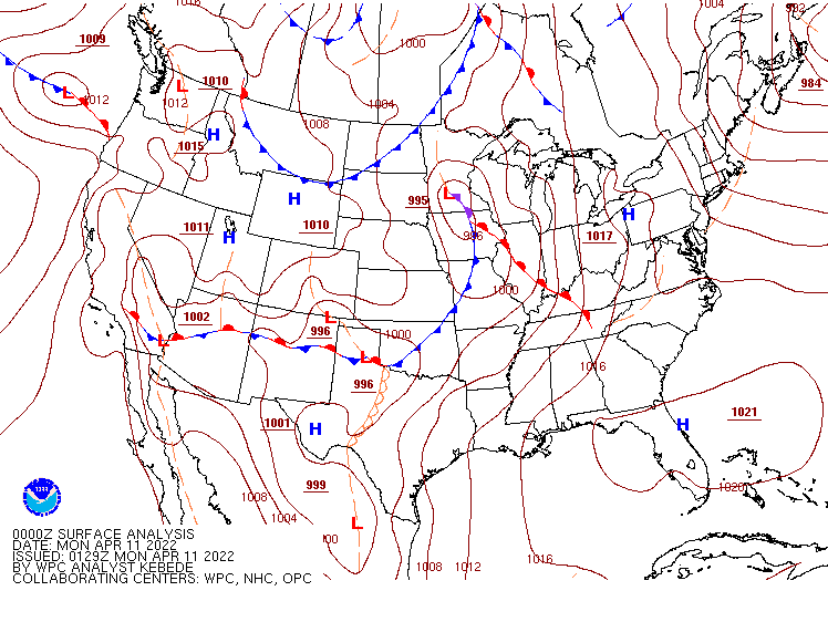
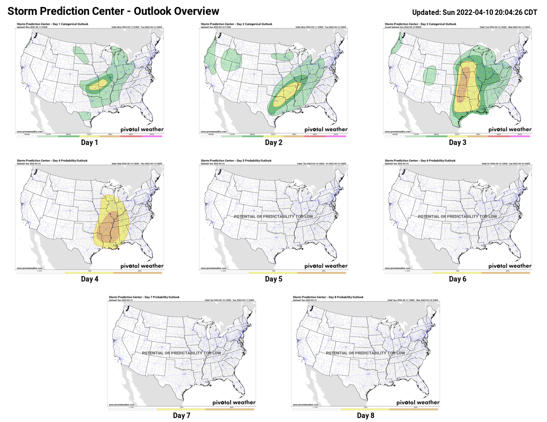
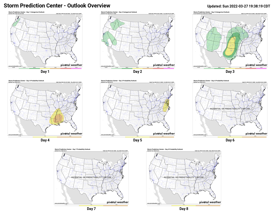
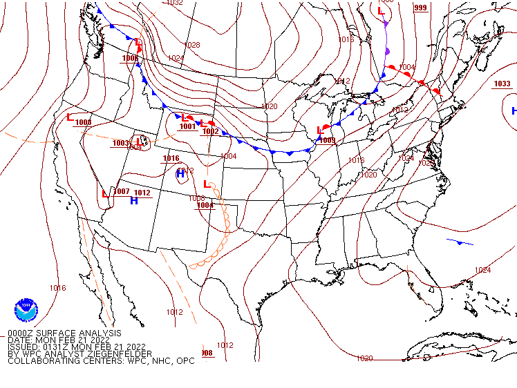
Low pressure developing in the southwestern Plains states will only slowly move northeastward over the next few days. Strong to severe thunderstorms are likely this afternoon and evening from the Central Plains eastward into parts of the Mississippi and Ohio Valleys. Areas from eastern Colorado across Kansas and Nebraska and into Iowa are under the gun today, with some of the stronger storms likely producing damaging winds, large hail, heavy downpours, and tornadoes. As the system slowly moves out of the Plains states and toward the Upper Mississippi Valley on Sunday, the focus of severe weather will shift into parts of the Northern and Central Plains and Upper Midwest, especially from Nebraska into Iowa and parts of Minnesota. Once again, storms may produce strong winds, large hail, heavy downpours, and tornadoes.
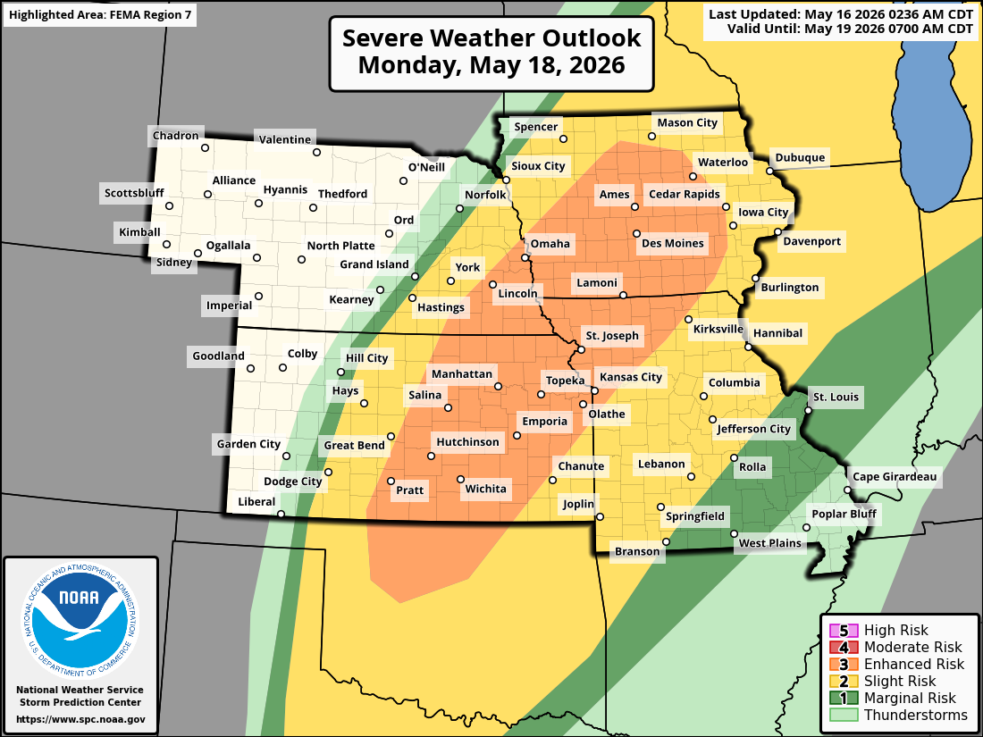
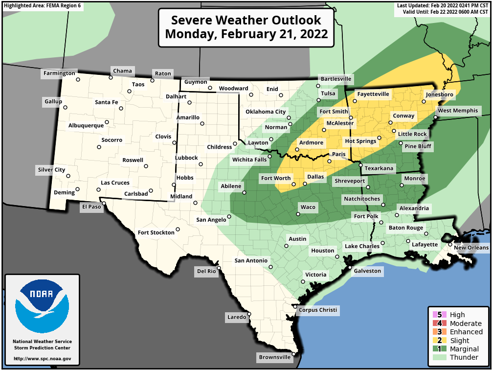
By Monday, as the system moves into the Great Lakes and drags a strong cold front behind it across the Plains states, a very active day is expected from northern Texas northeastward to Michigan. Widespread strong to severe thunderstorms are likely, but the area from northern Oklahoma to Iowa is where the strongest storms are expected, with many supercells producing large hail, damaging winds, and numerous tornadoes. As the front moves eastward the threat for severe weather on Tuesday will shift to parts of the Great Lakes and Ohio Valley, as well as the southern Plains, and then potentially to parts of the East Coast and Tennessee Valley on Wednesday.
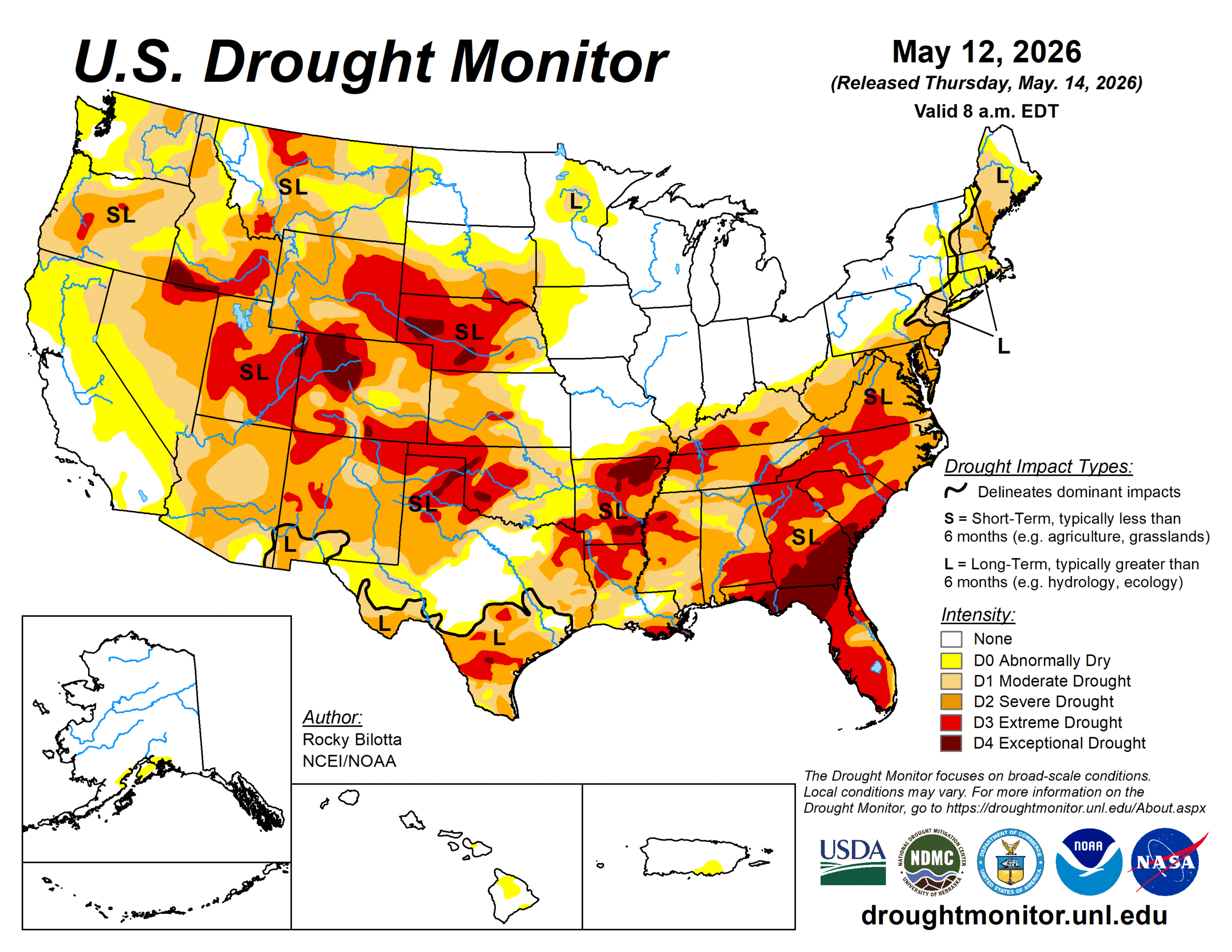
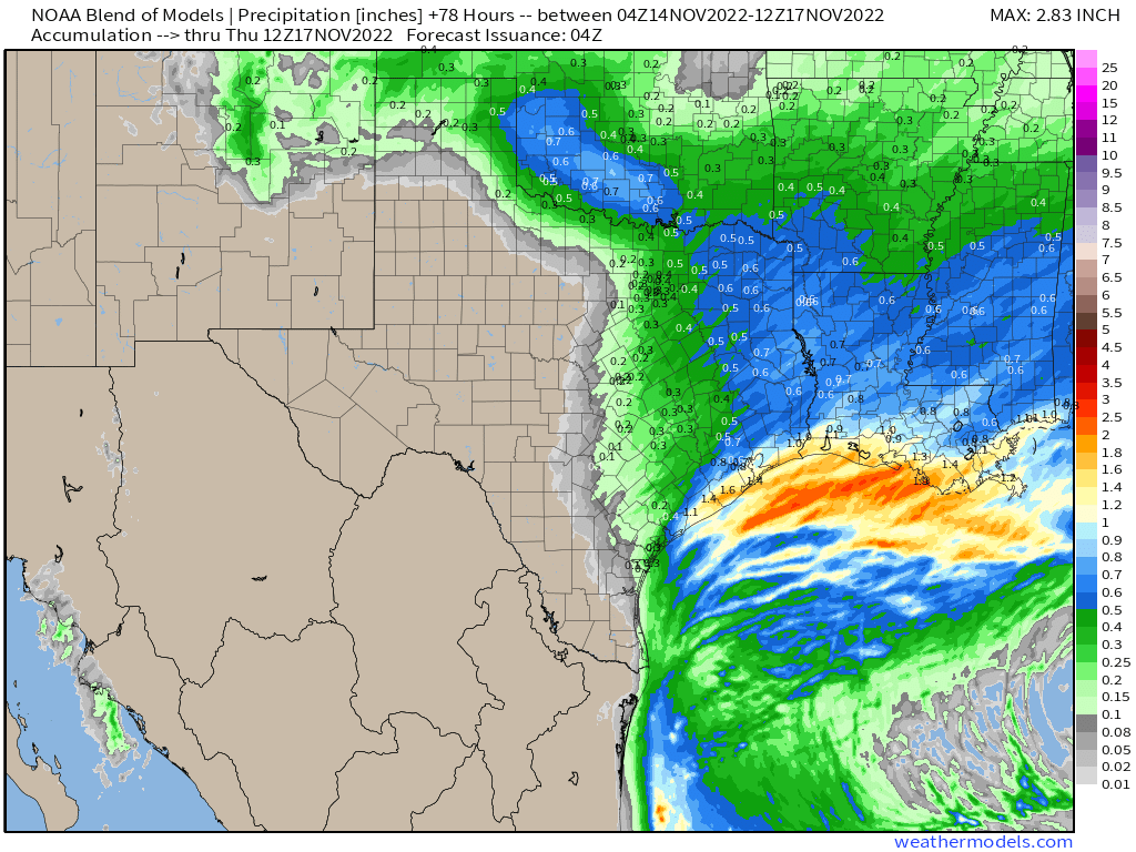
There is a bit of a silver lining to this, as widespread rainfall, some of it heavy, is likely across a large portion of the nation’s mid-section. Much of this region, especially the Central and Southern Plains, is in the middle of a significant drought, so any rain is beneficial, and will help put a dent in the drought, especially as the growing season gets underway.
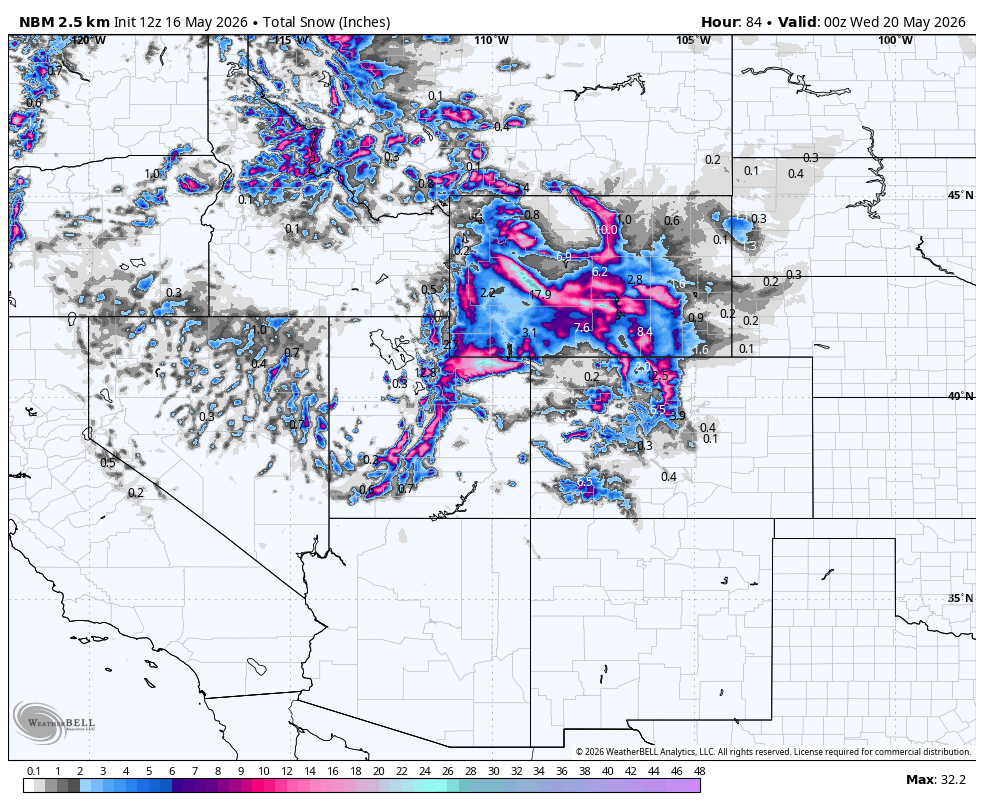
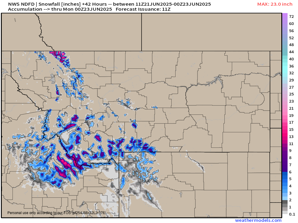
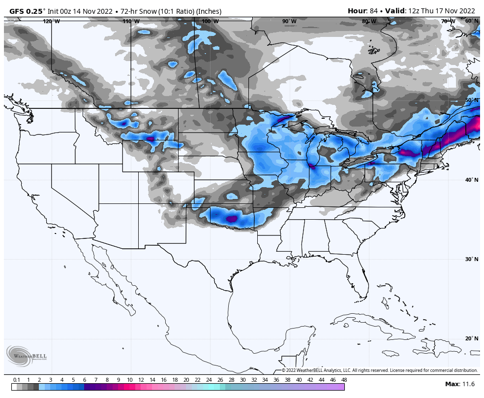
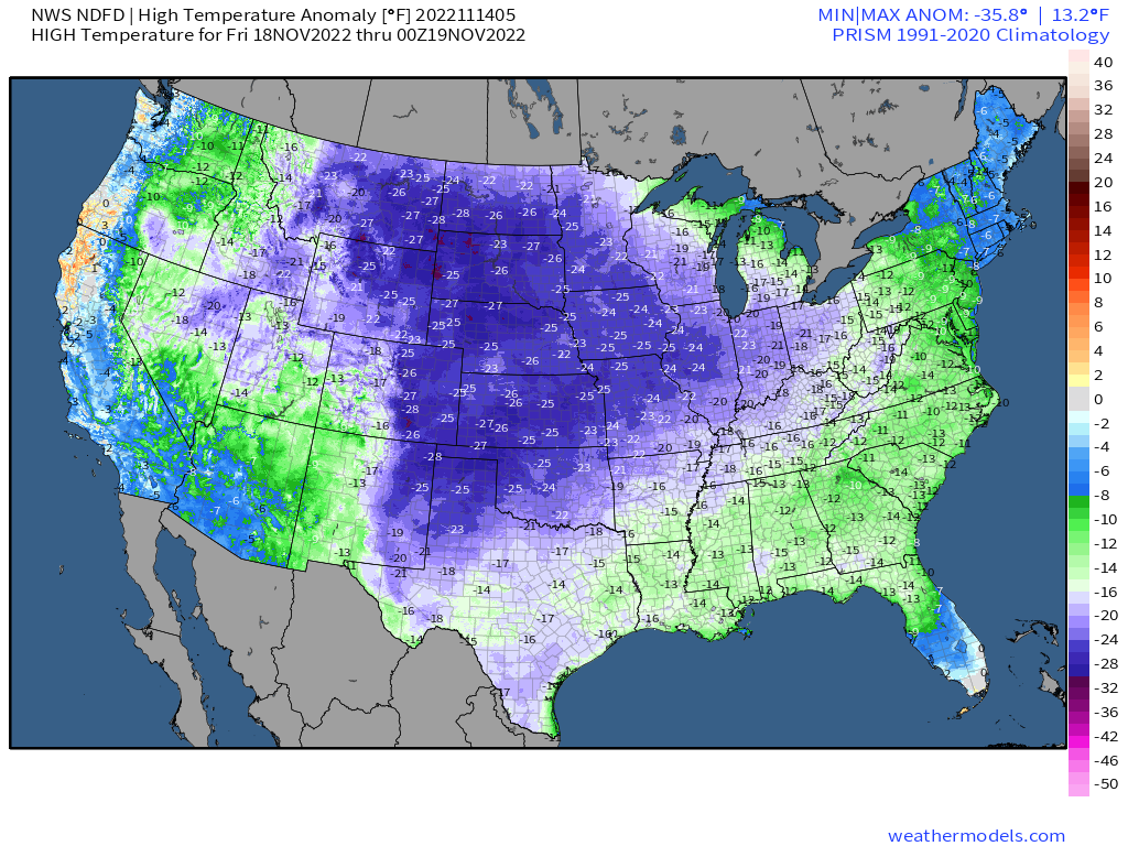
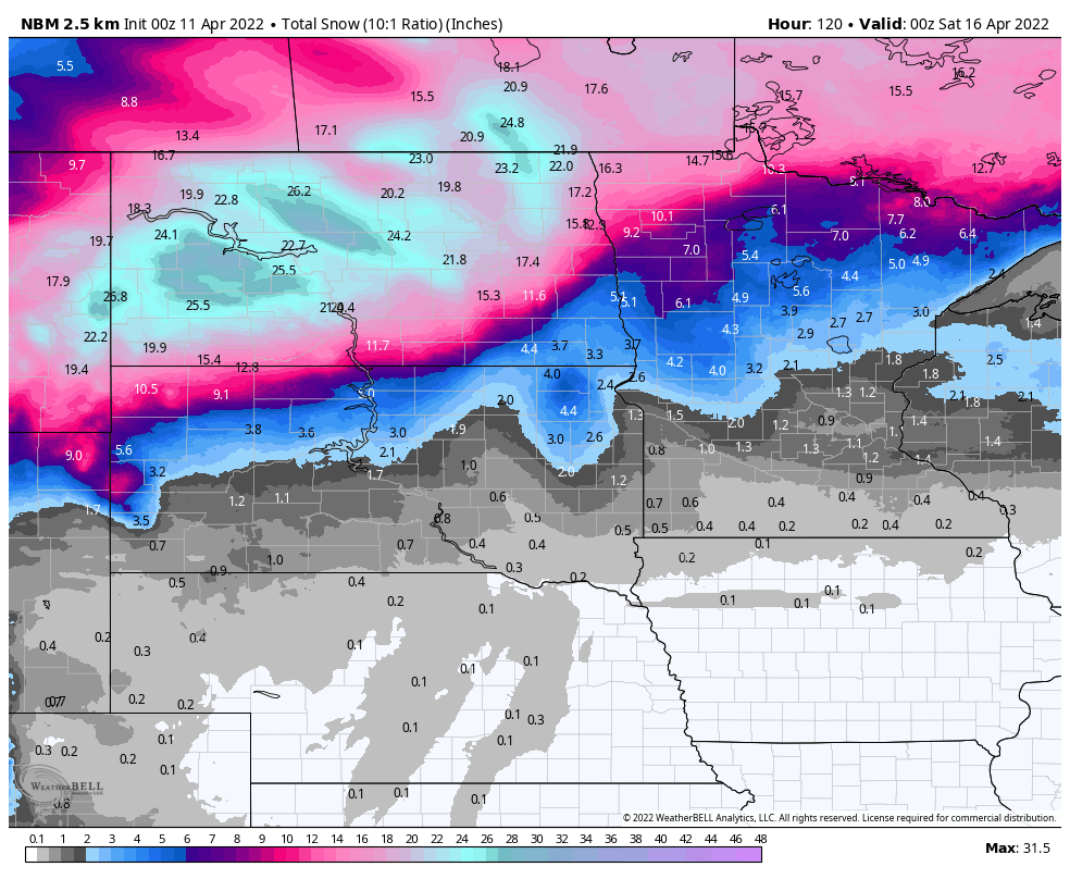
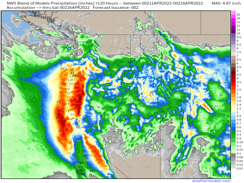
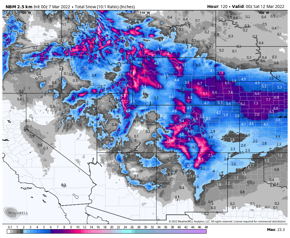
Behind the cold front, much colder air will settle into the Plains states and the Rockies. Some record lows are possible both Monday and Tuesday morning as temperatures drop into the 20s and 30s. At the same time, another low pressure system will be moving across the Great Basin, and as it encounters the colder airmass, snow is expected across the mountains, with much-needed rain at the lower elevations. Winter Storm Watches have already been issued for parts of Wyoming for late Sunday and Monday, and more are likely to be issued for parts of the region, including Utah and Colorado, later today. Some of the mountains could pick up as much as 1-2 feet of snow, possibly even more in spots. Some flakes could mix in with the rain in the Denver area Monday and Monday night, with accumulations likely in the foothills west of the city. After a fairly dry winter, the snow is welcome, as it will help with spring runoff.