A hot week is expected from Texas into the Southwest while the Plains states will be dealing with several rounds of severe weather.
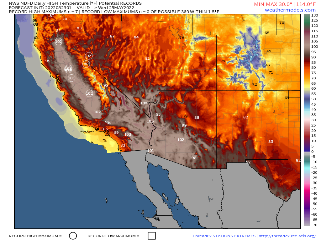
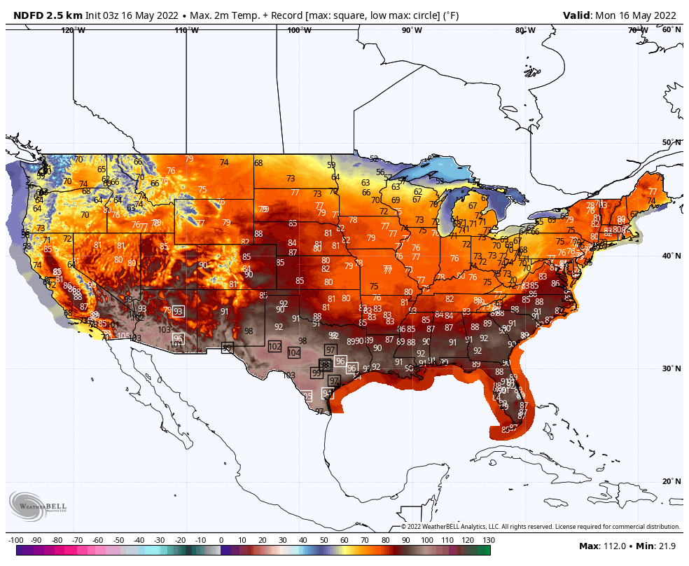
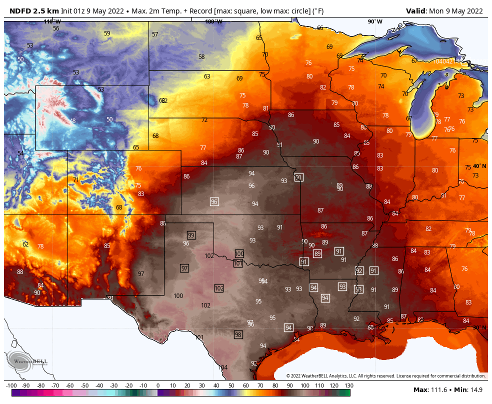
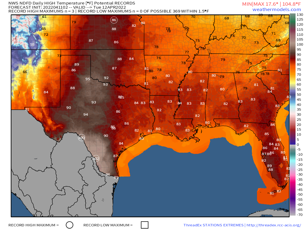
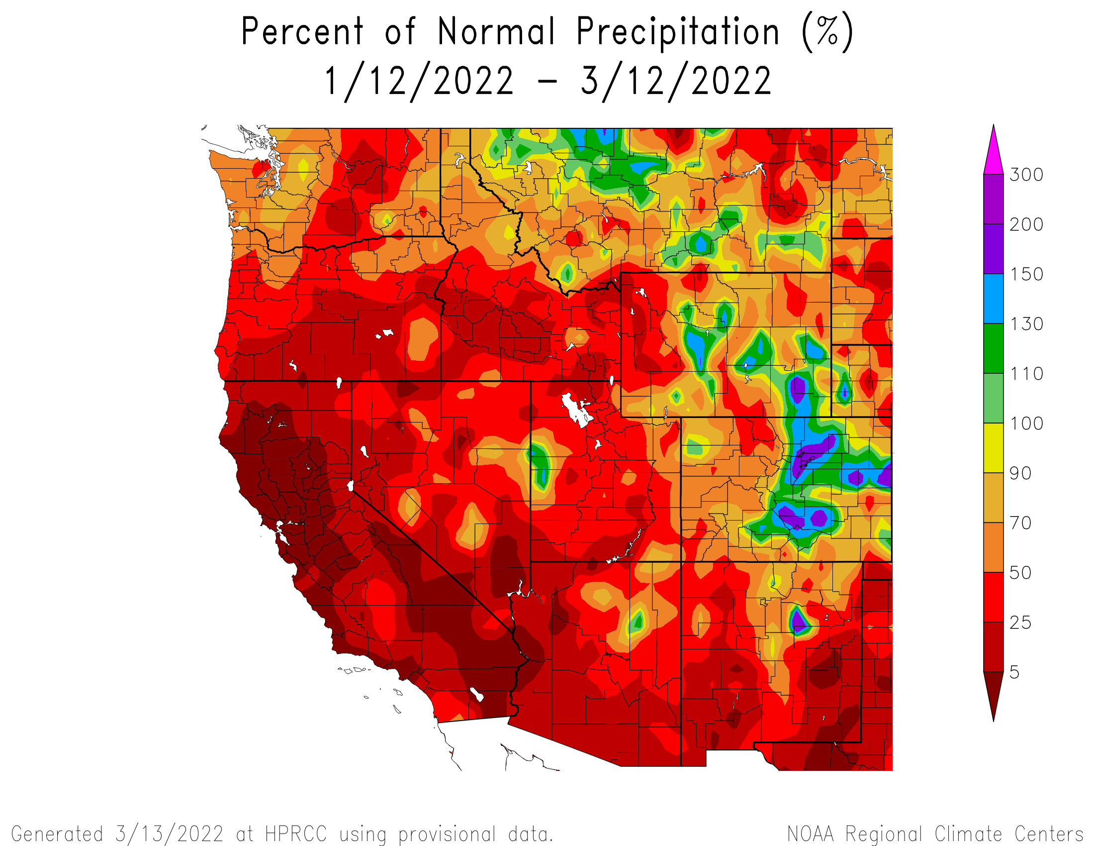
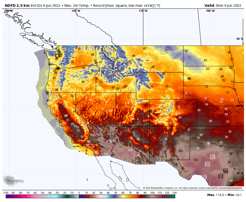
A ridge of high pressure will build into parts of the Southwest and Texas over the next several days, resulting in hot and in some cases humid conditions. High temperatures will be well into the 90s and 100s across Texas for much of the upcoming week, with record highs possible in many locations each afternoon. The heat will spread across the Gulf Coast and into the Southeast later in the week, with temperatures reaching the 90s in many areas. However, the record heat will actually spread westward into the Southwest and California as the ridge continues to strengthen. By the latter half of the week, temperatures will top 100 across interior California, with parts of the Desert Southwest, including Phoenix and Las Vegas likely reaching 110 or more, with some records expected. Death Valley could reach 120 by the end of the week.
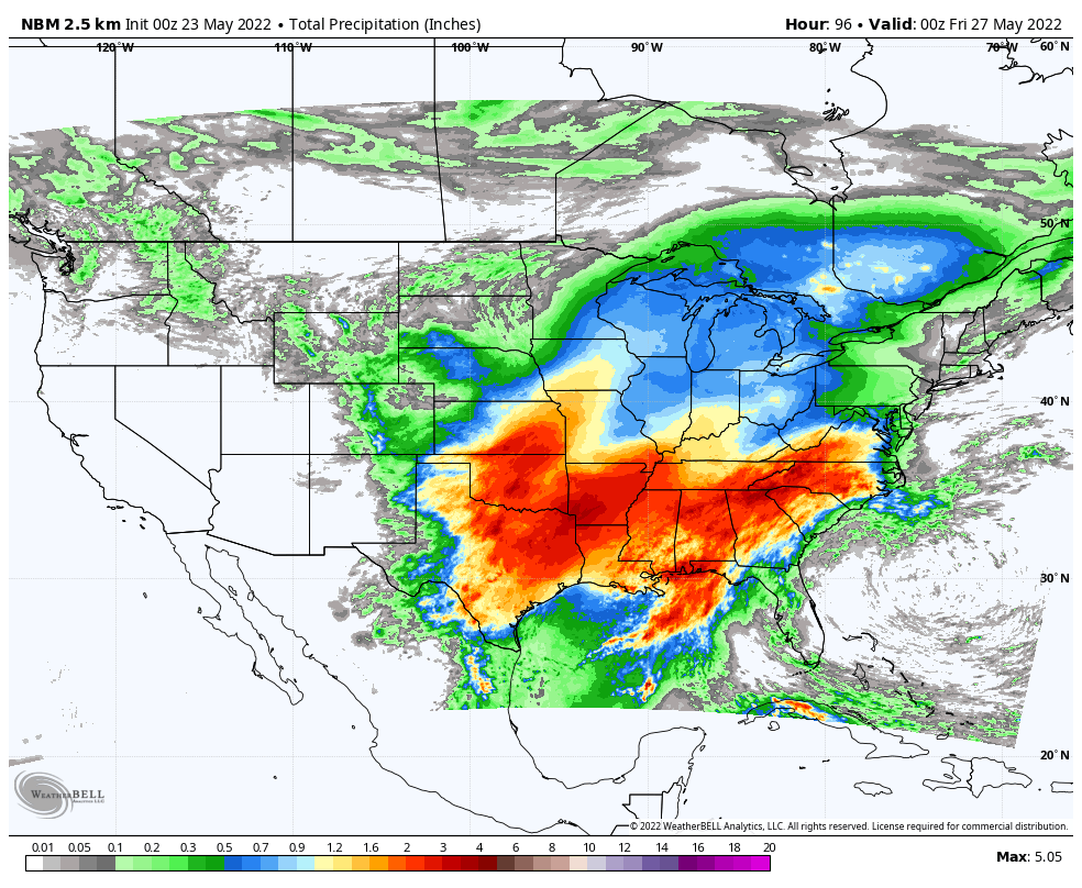
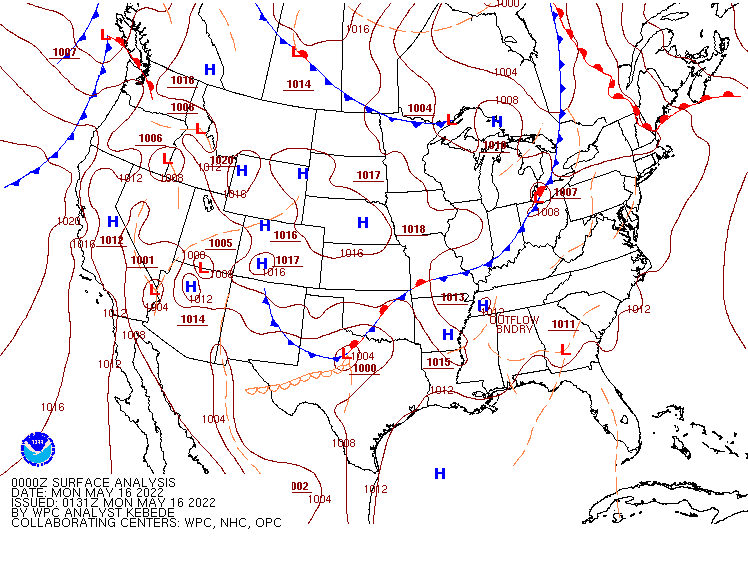
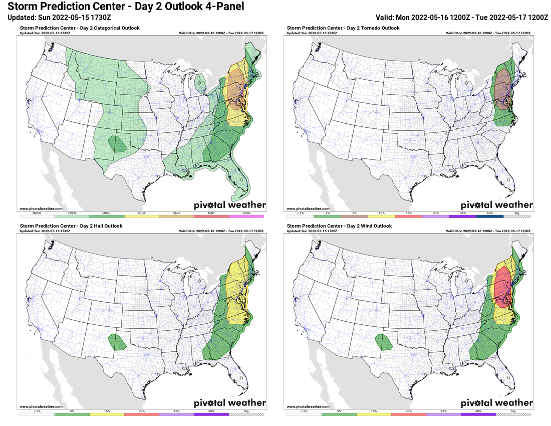
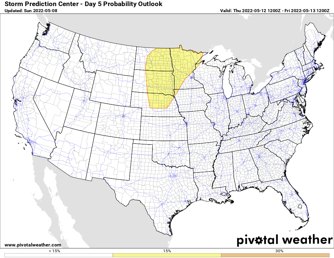
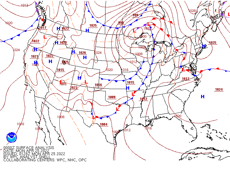
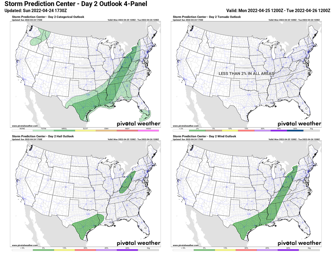
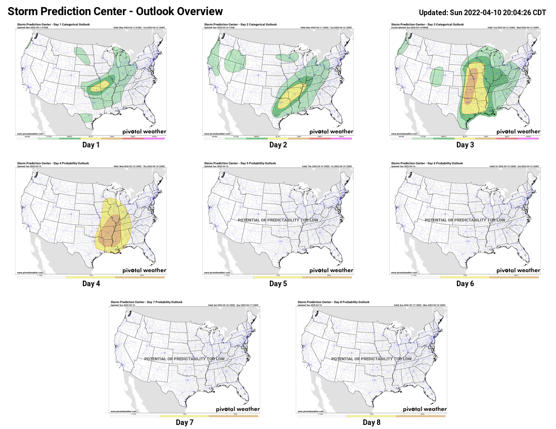
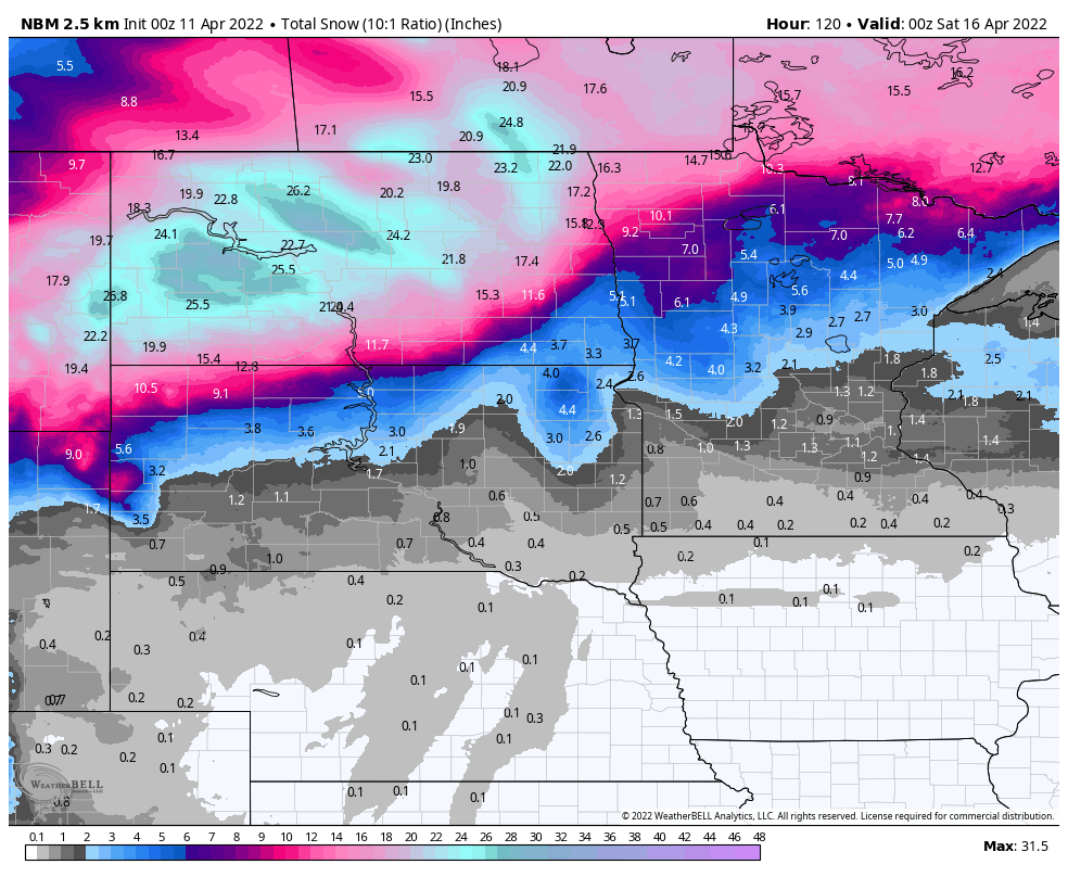
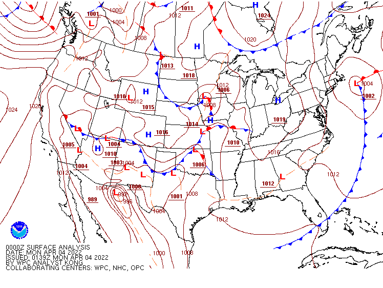
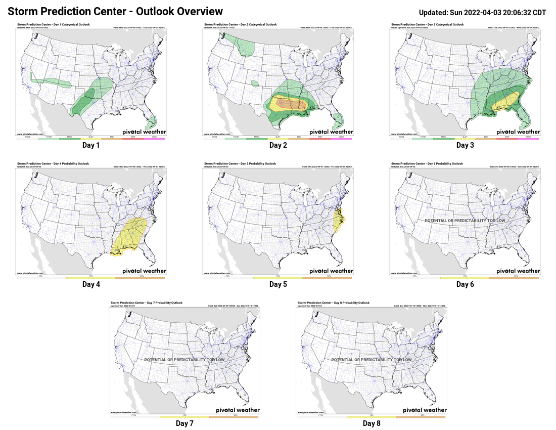
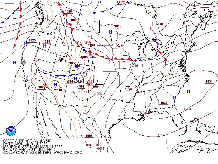
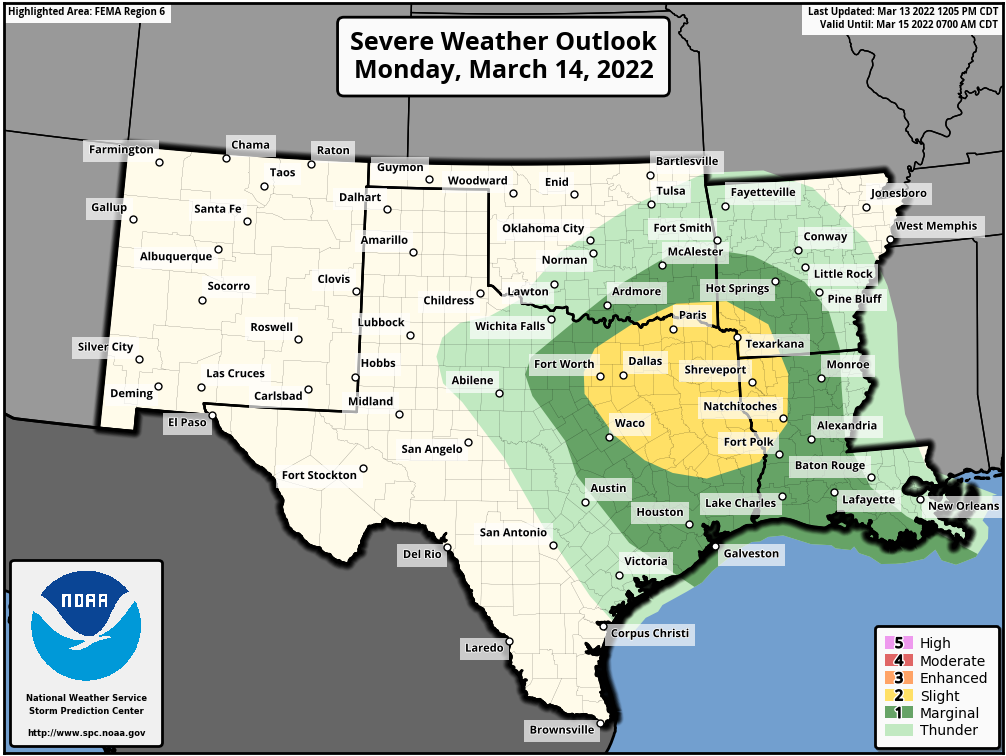
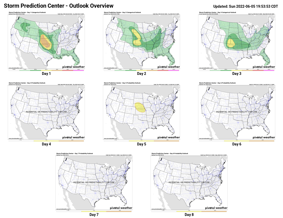
A wavy frontal system will remain in place across the central and southern Plains this week, keeping the heat in Texas, while cooler weather remains in place to the north. As waves of low pressure ride along that front, each one will trigger some showers and thunderstorms. Some of these storms could become strong to severe each afternoon, especially across parts of the southern Plains and into the Middle Mississippi Valley. One wave of low pressure may trigger some strong to severe storms this afternoon and evening, followed by another round of severe weather Tuesday afternoon and evening. A stronger wave, may produce more widespread severe weather in the central and southern Plains later on Thursday, possibly lingering into early Friday.
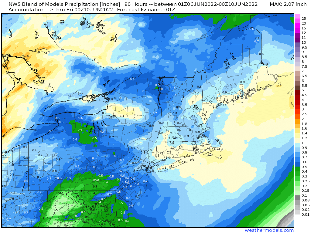
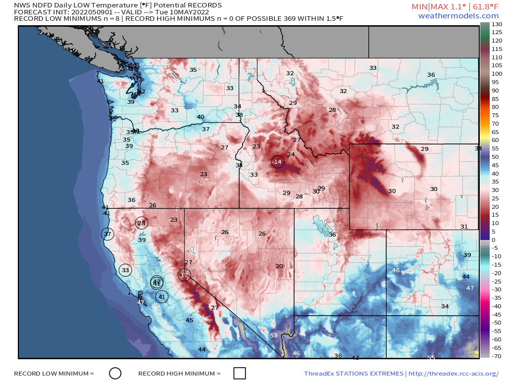
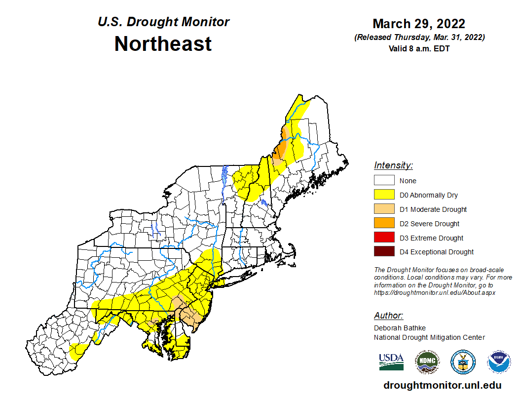
In the Northeast, a dry spring has resulted in drought conditions developing, especially parts of eastern New England. Rainfall totals for the year are running 2-5 inches below normal, with much of that deficit occurring over the past 2 months. A cold front will move into the region on Wednesday, stalling out as it moves through, with a wave of low pressure riding along the front Wednesday night and early Thursday. This should bring some beneficial rain into the area, with widespread totals of 0.50″-1.00″ expected, and some heavier amounts likely.