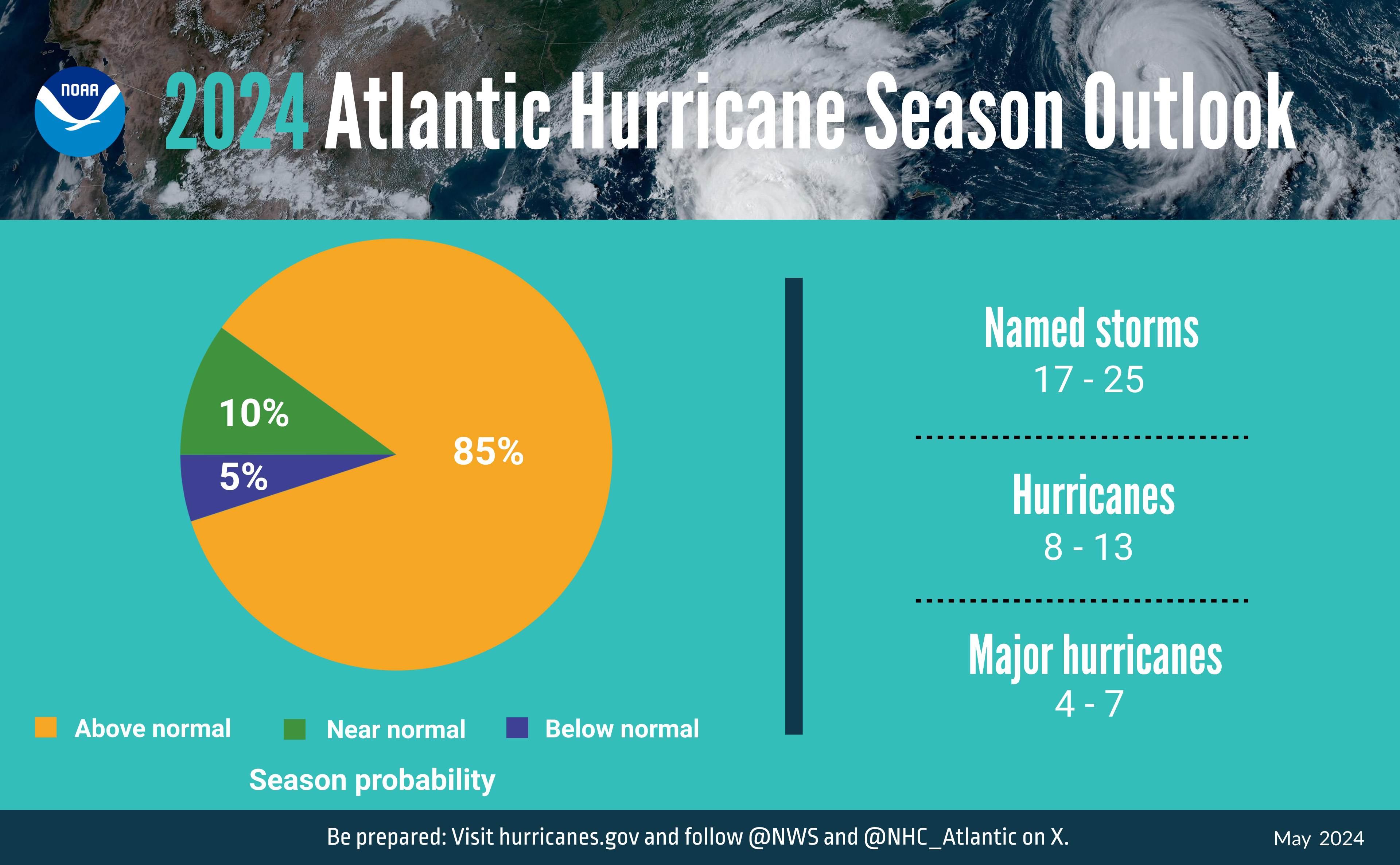
Early season forecasts called for an active hurricane season in the Atlantic due to a multitude of factors, and so far, we’re off to a fast start.
Earlier in June, Tropical Storm Alberto brought heavy rain and some gusty winds to parts of Mexico and southern Texas. Given that this area has been in a drought, the rainfall was actually quite welcome, though probably not all at once. The moisture from Alberto also helped to get the Southwest Monsoon season off to an early start. Now as we approach the final days of June, we have a new Tropical Depression in the Atlantic, and it’s in a spot that we normally wouldn’t expect a storm to form this early in the season (more on that in a minute).
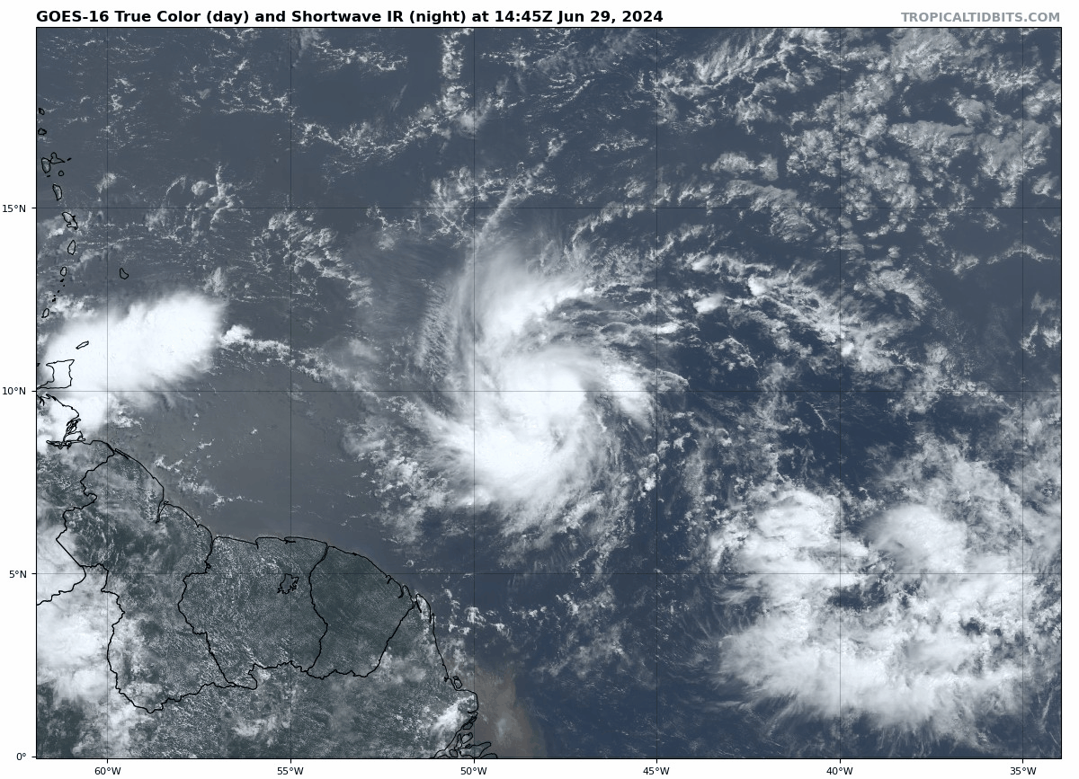
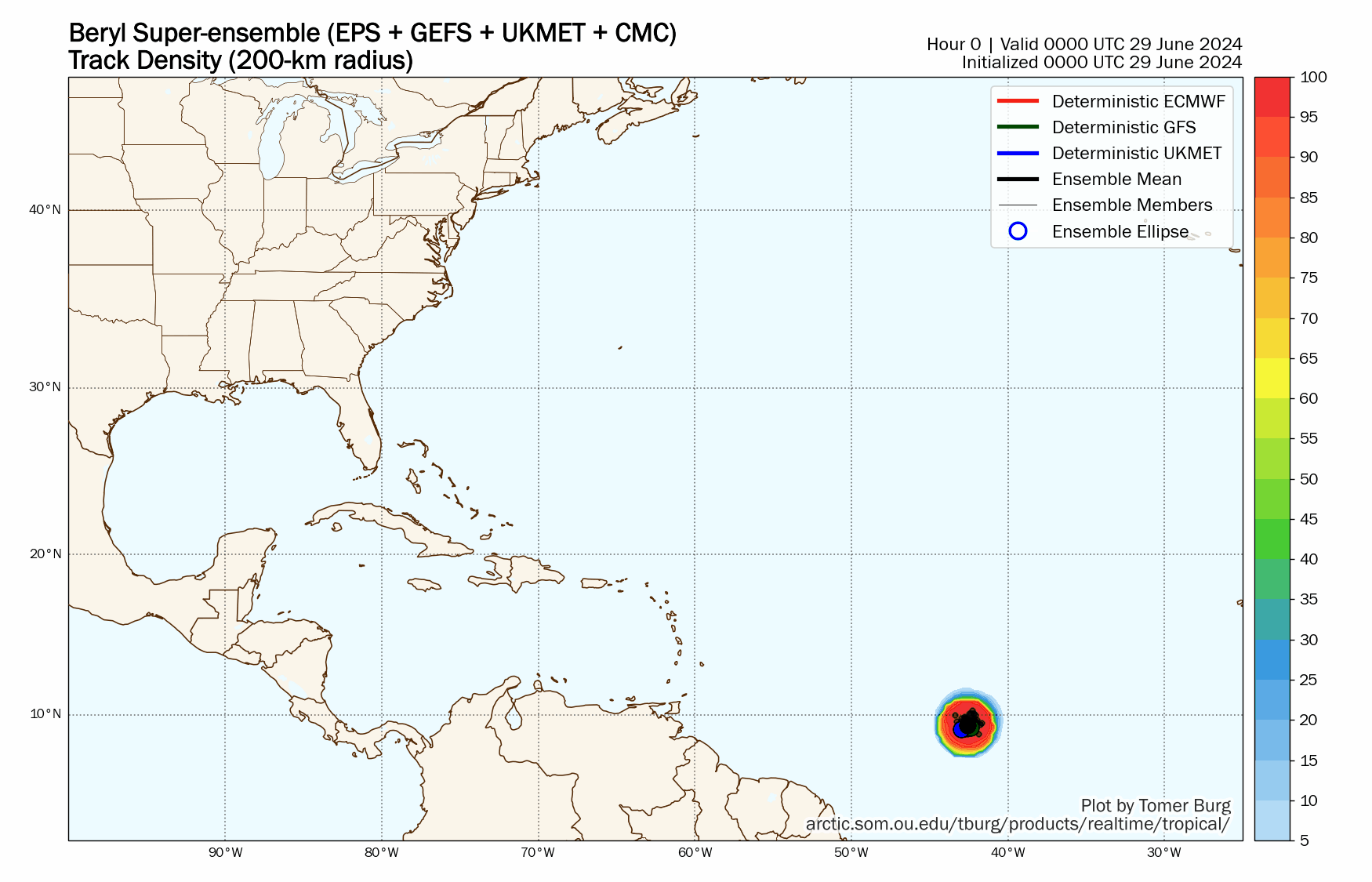
Tropical Depression Two developed Friday evening east of the Windward Islands and quickly strengthened into Tropical Storm Beryl overnight. As of 2pm, Tropical Storm Beryl was centered about 785 miles east-southeast of Barbados, moving toward the west at 23 mph. Maximum sustained winds were near 65 mph. Beryl will likely become a hurricane this evening or tonight, and continue strengthening as it approaches the Windward Islands late Sunday into early Monday. Hurricane Watches and Tropical Storm Watches are in effect for several of the islands in the southeastern Caribbean. Once it passes the islands, it should continue west-northwestward across the Caribbean, but obviously other factors can impact the exact track that it takes, as well as the intensity the storm reaches. Given that these forecasts have considerable uncertainty beyond 3-4 days, it is too early to speculate on what other locations it could impact toward the middle of next week and how strong it would be.

We’ve been keeping a close eye on this system for a few days now as the tropical wave responsible for the system has been crossing the Atlantic. The wave stayed rather far south, which is what helped it develop. To the north, there has been some Saharan Dust making its way across the Atlantic, and wind shear has been higher. Both of those factors inhibit the development of tropical systems, but by staying farther south and avoiding those, it has taken advantage of favorable conditions to gradually get organized this week.
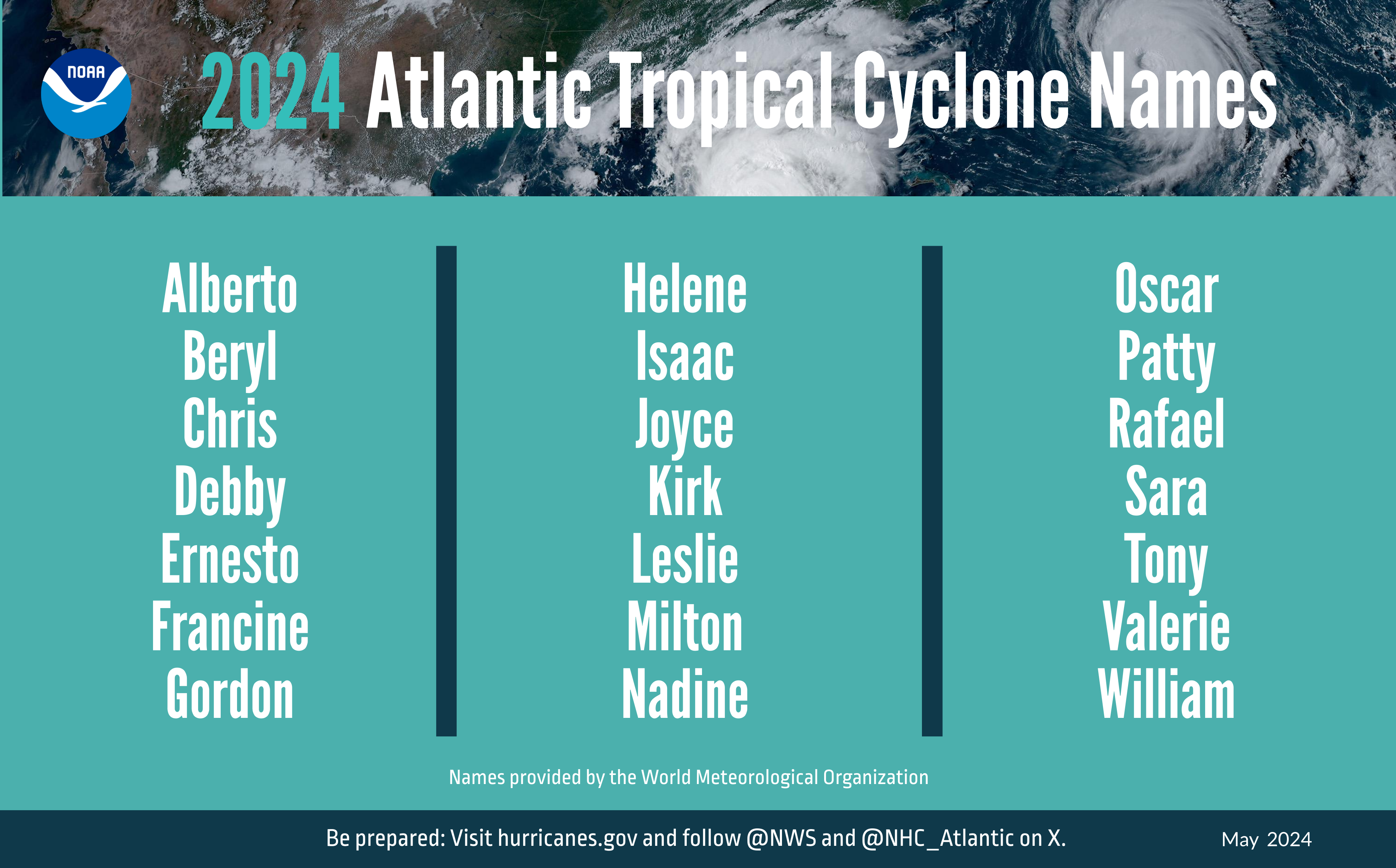
Beryl is only the 7th named storm to form east of the Caribbean during the month of June since 1851. The previous 6 storms were:
- Unnamed Storm #2 in 1933
- Tropical Storm Ana in 1979
- Tropical Storm Bret in 2017
- Tropical Storm Bonnie in 2022
- Tropical Storm Bret in 2023
- Tropical Storm Cindy in 2023
Of those six storms, only the 1933 storm reached hurricane strength during the month of June.
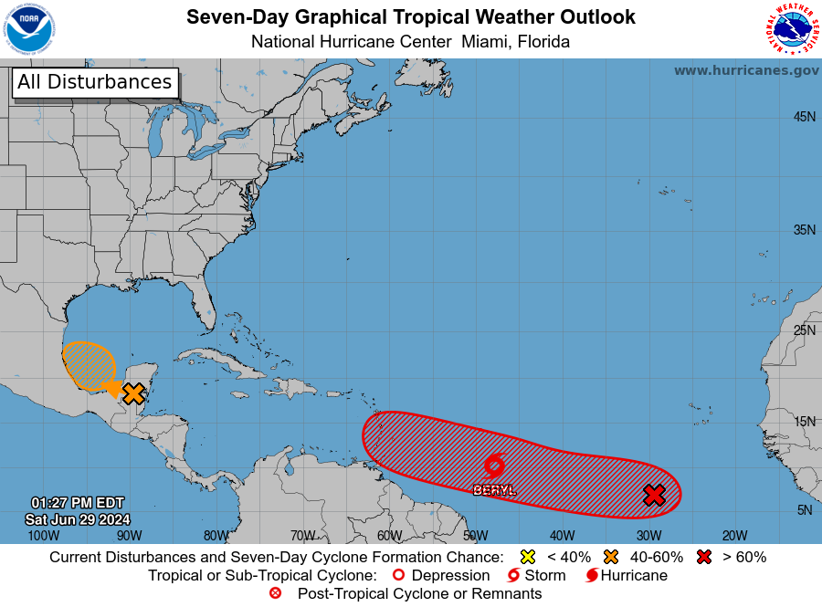
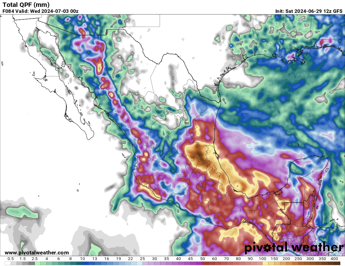
Tropical Depression Two isn’t the only storm we’re keeping an eye at this time. A tropical wave and associated area of low pressure are crossing the Yucatan Peninsula this afternoon. Once it moves into the Bay of Campeche tonight, there is a small window for the system to develop. It could become a tropical depression or a tropical storm by Sunday before moving inland once again. Whether it develops or not, it will bring another round of heavy rain into northeastern Mexico.
There’s also another tropical wave way out in the Atlantic, several hundred miles southwest of the Cabo Verde Islands. It’s disorganized right now, but as it moves westward, conditions will be favorable for development, and it could take a track similar to Beryl, possibly impacting the Lesser Antilles by early next week.