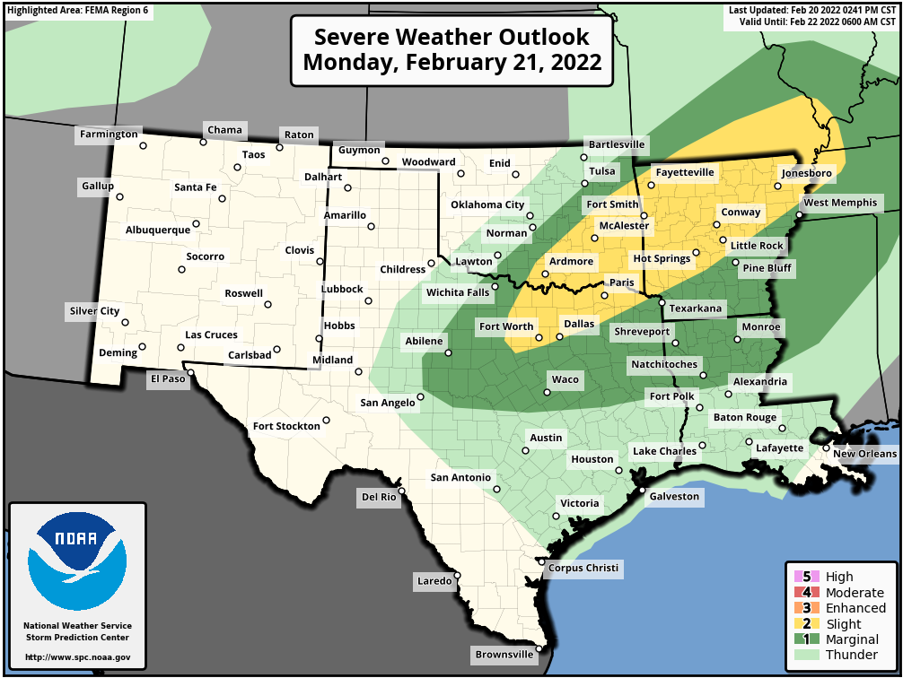
Another multi-day severe weather outbreak is expected across the southern tier of states this week thanks to a pair of storm systems.
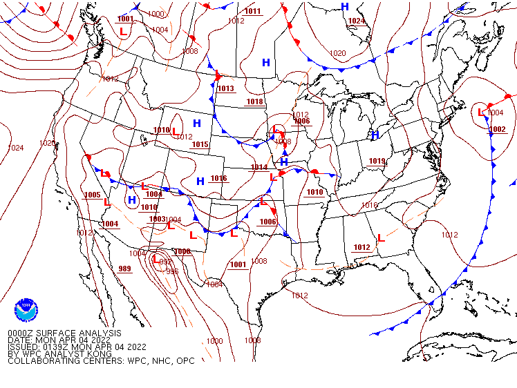
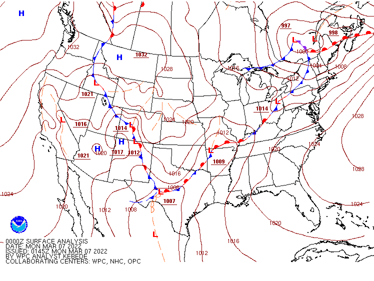
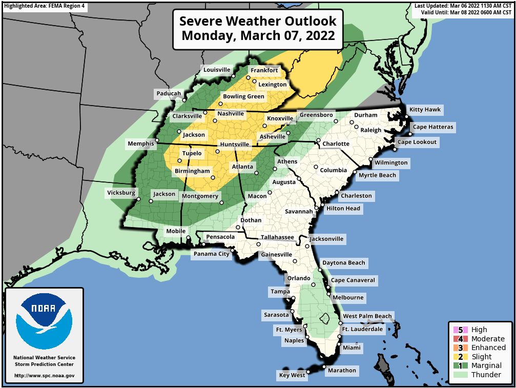
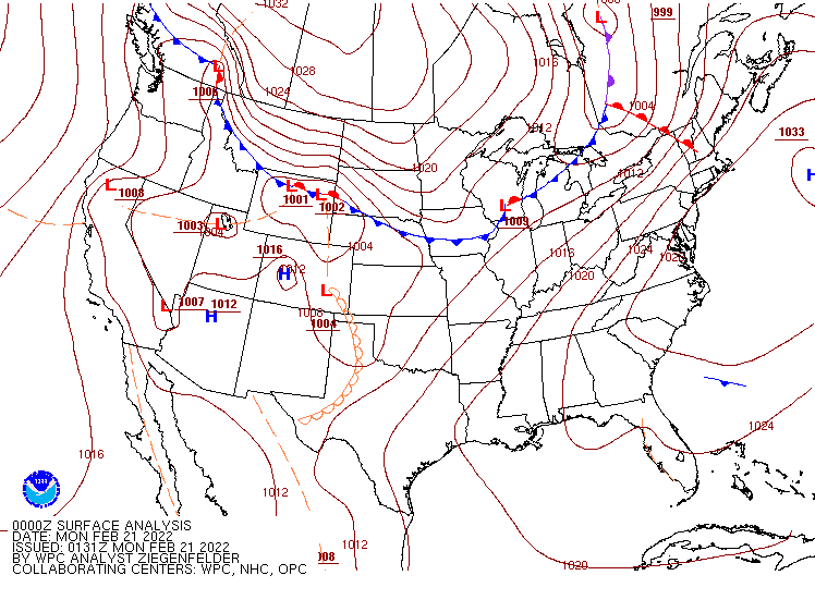
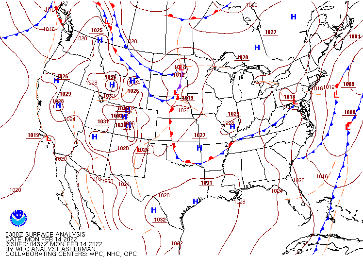
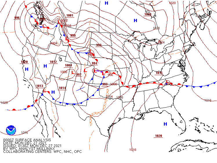
Low pressure will move out of the Plains states and into the Mississippi Valley today. Ahead of the system, another round of strong to severe thunderstorms is expected from the southern Plains and Texas into the Lower Mississippi Valley. Many of the storms will produce large hail, damaging winds, heavy downpours and tornadoes. As the system heads eastward, the severe weather threat will shift to the Gulf Coast and the Southeast on Tuesday. While the activity may not be as strong or as widespread, severe storms are still expected across much of the region. That system will move off the East Coast late Tuesday, bringing some rain, possibly heavy, to parts of the Mid-Atlantic states and into the Northeast.
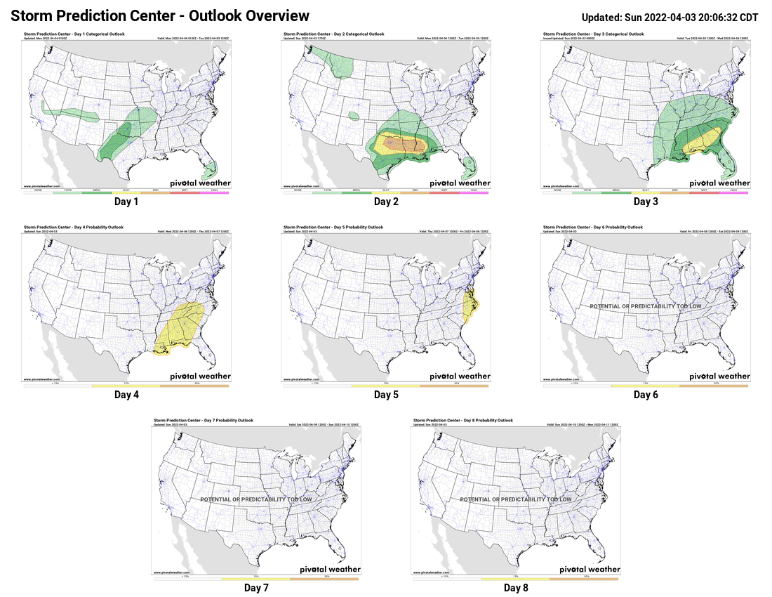
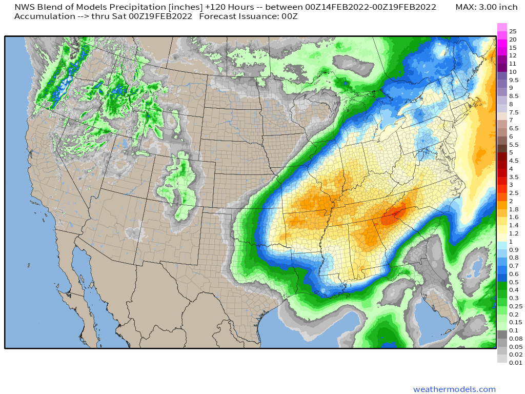
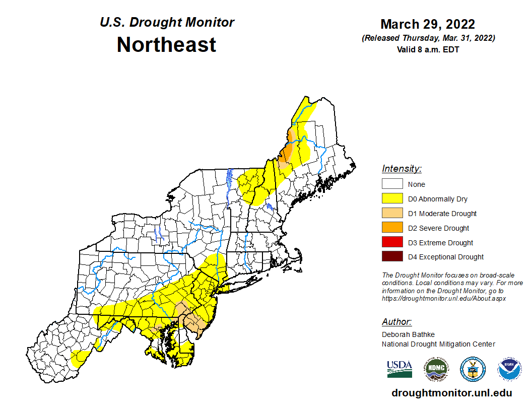
Another storm quickly follows on Wednesday, with the threat of severe weather returning to the Tennessee Valley and Deep South. Once again, some of the storms may produce damaging winds, hail, heavy downpours, and tornadoes. This threat will shift into the Mid-Atlantic states by Thursday. Another round of heavy rain is also likely from the Mid-Atlantic into the Northeast on Thursday, which could lead to some localized flooding. Parts of the region have been somewhat dry recently, with drought conditions beginning to show up in some areas, so the rain will be good news.
While the rain is good news for the developing drought, for some places in the Northeast, the rain will not be a welcome sight on Thursday, as it is Opening Day for Major League Baseball in 9 cities across the nation. The rain will threat to wipe out at least two of those games, when the Boston Red Sox visit the New York Yankees, and Washington Nationals host the New York Mets. At the very least, significant rain delays are possible. Rain could also cause some delays in Chicago, where the Cubs open up against the Milwaukee Brewers.

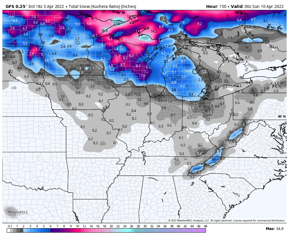
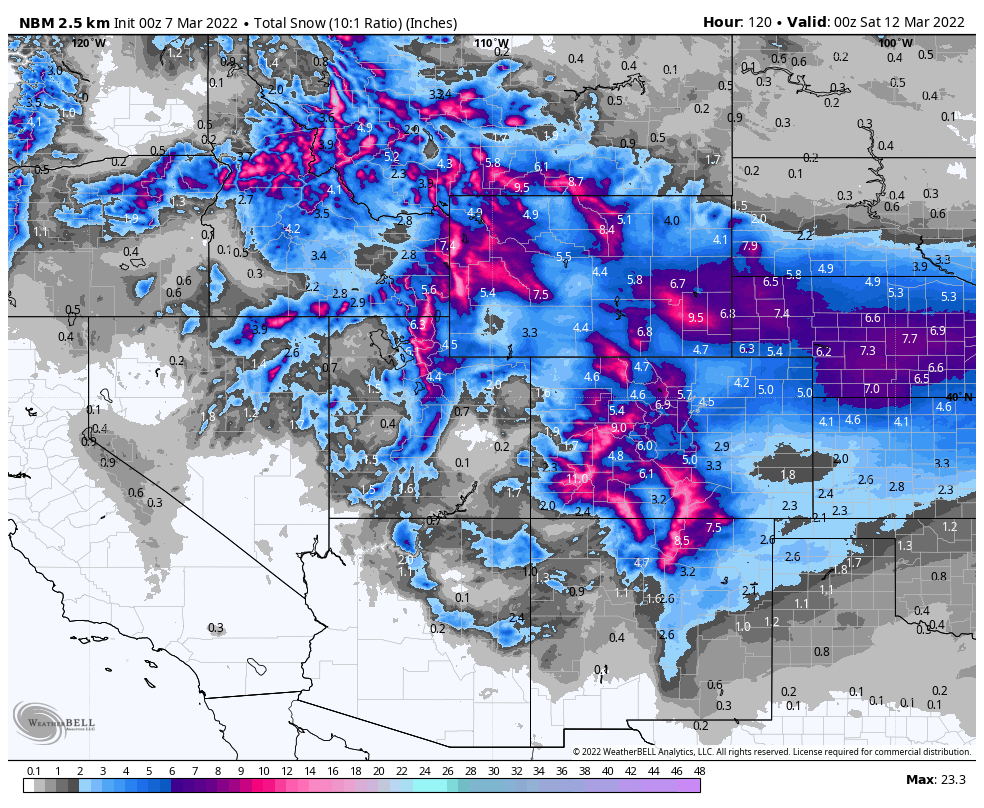
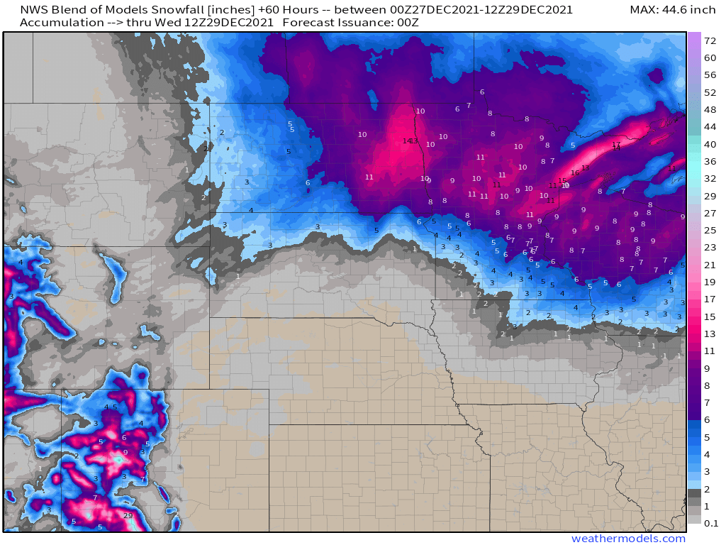
Meanwhile, in the Northern Plains and the Upper Midwest, a slow-moving storm system, both at the surface and aloft, will take its time crossing the region later this week. Some occasional rain showers are likely, eventually changing over to snow as colder air settles in. Several inches of snowfall accumulation possible from the Dakotas into the northern Great Lakes, spread out over several days, with some locations possible seeing as much as 8-12 inches of snow by the time everything winds down at the end of the week.