As we reach the climatological peak of hurricane season, multiple storms are threatening land in both the Atlantic and the Pacific Ocean.
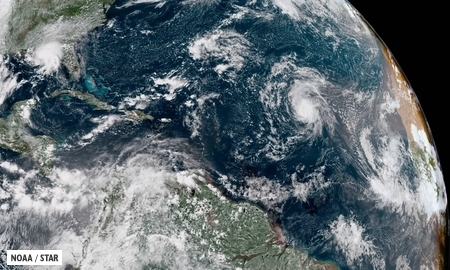
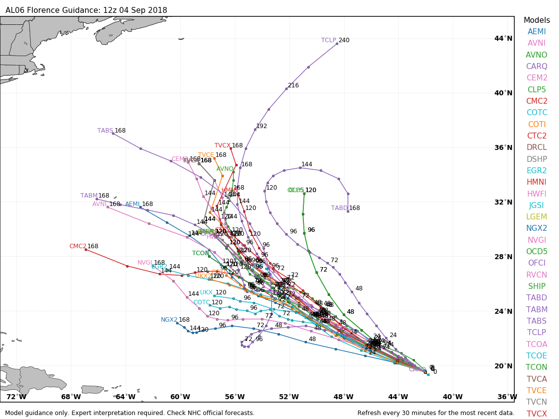
The biggest threat right now is Tropical Storm Florence. As of 11pm EDT Saturday, Florence was centered about 800 miles southeast of Bermuda, moving toward the west at 6 mph. After reaching Category 4 strength a few days ago, Florence has weakened to a tropical storm with maximum sustained winds near 70 mph. Florence will be moving into an area where conditions will be favorable for development, plus there is plenty of warm water ahead, so the system will likely become a hurricane again by Sunday. Rapid strengthening is possible over the next few days, and Florence could become a Major Hurricane (Category 3 or stronger) again over the next few days.
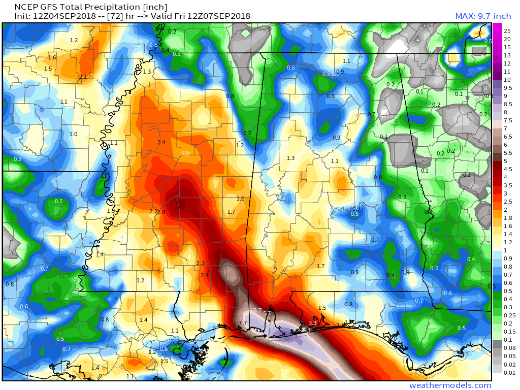
The future track of Florence still has plenty of questions that can’t be answered yet, but have significant implications. A ridge of high pressure will build in to the north of Florence, sending it on a general westward track, towards the southeastern United States. The question is, how strong is that ridge to the north of Florence, and how will it be oriented? If it’s strong enough, it will continue to drive the system west or west-northwestward, sending it into the Carolinas, Georgia, or possibly even northern Florida. If the high is weaker or sets up just a bit farther to the east, it could allow the system to turn more northward as it gets close to the coastline, which could allow it to recurve out to sea without making landfall, or it could stall close to the coastline. This will obviously determine what impacts Florence may or may not have on the Southeast (as well as the Mid-Atlantic and possibly even the Northeast) later in the week. People with interests along the East Coast, especially the Mid-Atlantic states and the Southeast, should keep a close eye on the future of Florence. Rough surf ahead of Florence will impact most of the East Coast beginning on Sunday, and continuing through the week.
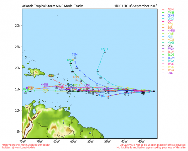
While Florence is gathering all of the attention, it is far from the only system that is a threat to land. Newly-formed Tropical Storm Isaac was centered about 1580 miles east of the Windward Islands as of 11pm EDT Saturday, moving toward the west at 8 mph. Isaac had maximum sustained winds near 50 mph, and is expected to steadily strengthen over the next few days while crossing the Atlantic. The current forecast calls for Isaac to become a hurricane by early in the week. as we get toward midweek, if it continues on its current westward track, it could become a threat to the Lesser Antilles. Many parts of this area are still recovering from getting battered by Irma and Maria last summer, and were hoping for a quiet hurricane season. This would not be welcome news for the area.
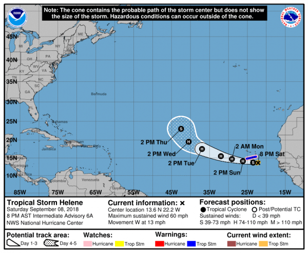
To the east, Tropical Storm Helene is a threat to the Cabo Verde Islands. Tropical Storm Warnings and Hurricane Watches are in effect for the islands of Santiago, Fogo, and Brava. As of 2Am EDT SUNday, Helene was centered about 120 miles southeast of the southernmost Cabo Verde Islands, moving towards the west at 13 mph. Maximum sustained winds are near 60 mph, and additional strengthening is expected. Helene could become a hurricane on Sunday. It will bring gusty winds and heavy rainfall to parts of the Cabo Verde Islands for the next 24-36 hours. Rainfall totals of 3-6 inches could result in flooding and mudslides across the islands. Once it pulls away from the islands later on Sunday, it should continue off toward the west-northwest while strengthening a bit more. By mid-week, a turn more towards the northwest is expected, with a weakening trend ensuing as Helene moves over colder waters.
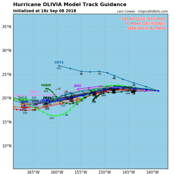
Meanwhile, the Pacific remains active as well. Hurricane Olivia was centered about 930 miles east of Hilo, Hawaii Saturday evening, moving towards the west at 16 mph. Olivia has maximum sustained winds near 80 mph right now. The forecast for Olivia is for a general west to west-southwest motion over the next few days, with a gradual weakening trend expected. By mid-week, a weakening Tropical Storm Olivia is expected to cross the Hawaiian Islands. Rough surf is expected across Hawaii over the next few days, with gusty winds likely as the system approaches later on Tuesday. The main threat with this system will be heavy rain leading to flooding across the area. Hurricane Lane brought torrential rainfall and flooding to the area a few weeks ago, and this will likely renew flooding in some of the same areas that have not cleaned up yet.
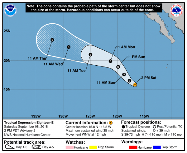
Back to the east a bit, Tropical Depression 18-E has formed off the west coast of Mexico. As of Saturday evening, the system was centered about 670 miles southwest of Cabo San Lucas, Mexico, moving toward the west at 9 mph. Maximum sustained winds are near 35 mph, and strengthening is expected. The system should become a tropical storm on Sunday. The storm should head northwestward for the next 24-36 hours, before turning back towards the west-northwest. It should remain over open water, with no threat to any land areas. At this time, the system is not expected to become a hurricane before it starts to weaken over colder waters towards midweek.
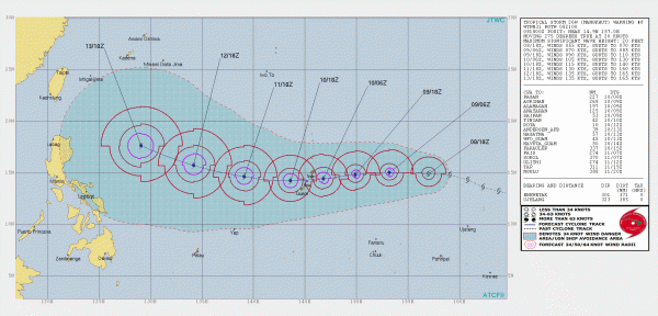
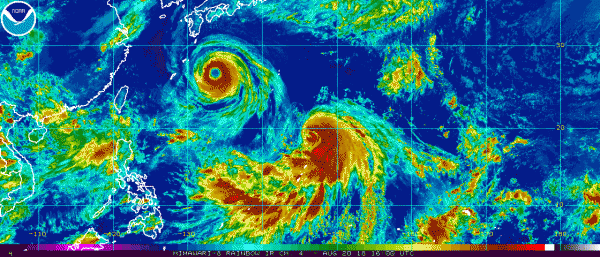
Heading much farther to the west, Tropical Storm Mangkhut continues to strengthen in the Western Pacific Ocean. As of Saturday evening, Mangkhut was centered about 675 miles east of Guam, moving toward the west at 23 mph. It has maximum sustained winds near 65 mph, and is expected to steadily strengthen while heading westward over the next few days. It should become a typhoon on Sunday. The system is expected to move across the Northern Mariana Islands on Monday as a strengthening typhoon. Strong winds, torrential rainfall and storm surge are all threats to the islands, including the large US military presence on Guam. It should continue on a general west or west-northwest course beyond that, possibly becoming a Super Typhoon (equivalent to a Category 4 or 5 Hurricane in the Atlantic/Eastern Pacific) by midweek. Its too early to determine where it goes beyond that, but it could become a threat to the northern Philippines, Taiwan, or southeastern China late in the week.