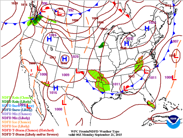
A cold front is the major weather-maker today as it settles into the Southern Plains and Southeast. The front will continue to push through the Southern Plains on Monday producing additional showers and thunderstorms. The main threat for those storms will be gusty winds, hail and heavy rain. As the front stalls out across the Southeast over the next few days, it will have ample opportunity to create showers and storms with the possibility of heavy rain, wind, and possibly some hail. This is not to say that showers and thunderstorms are expected the entire time, as cloud cover and dry air will both remain in place nearby. So watching for when energetic disturbances move into those regions will be key for storm initiation. One such disturbance looks to push through today in Texas while an upper level low serves as a center for storms on Monday in the Southeast.
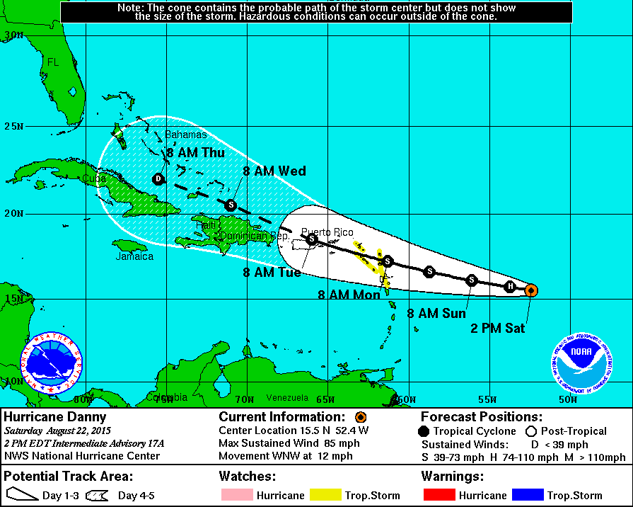
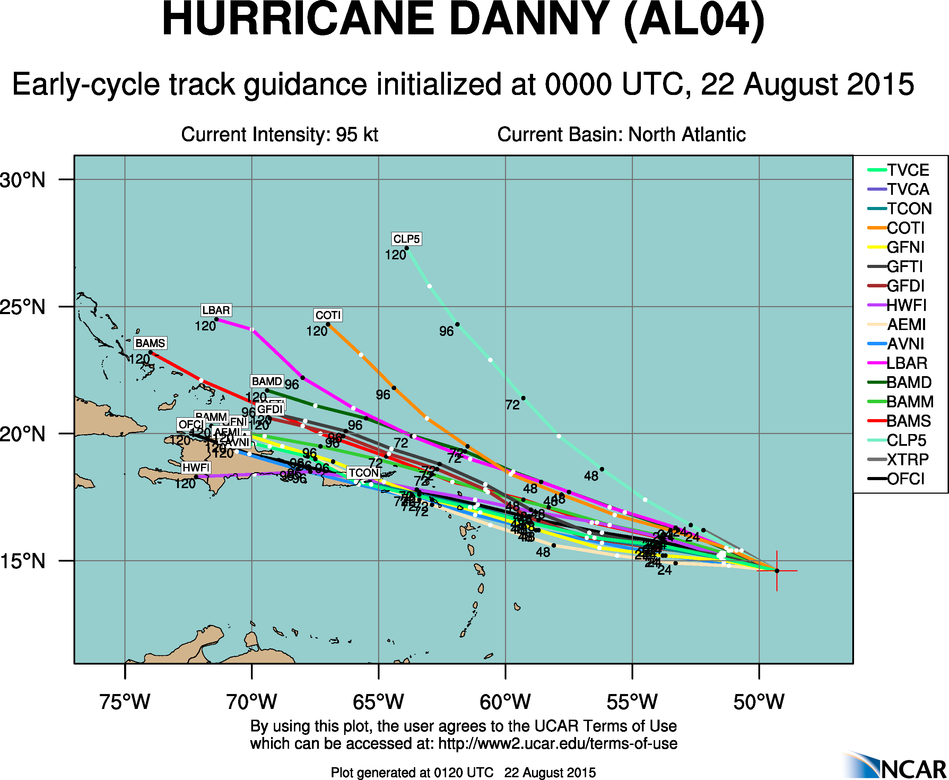
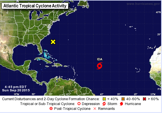
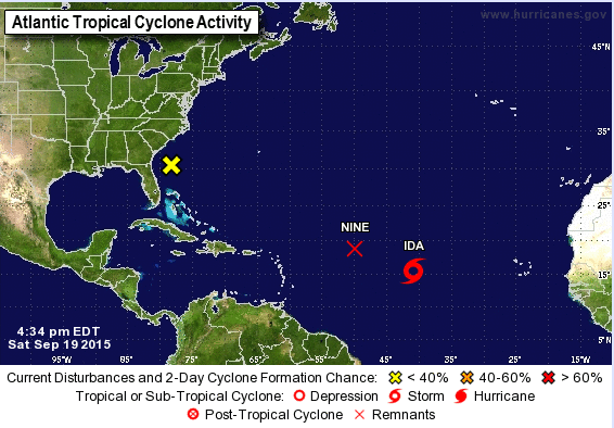
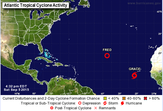
Meanwhile, in the tropics there are a few areas that bear watching. The strongest is in the Atlantic Ocean as Tropical Storm Ida continues its northwestward movement at 17 mph. As an area of high pressure strengthens to the north of Ida, it should slow down the storm’s forward motion and models indicate that it may become stationary as well. Ida’s low-level center remains exposed because of the westerly shear. This shear is expected to weaken in the next day or two, allowing for the possibility of strengthening. However, the shear is expected to pick back up as an upper level trough helps to increase it. This may stall or even decrease the intensity of the storm. Another area of interest in the Atlantic resides about 325 miles east of northeast Florida. Because it is not showing signs of being tropical or even subtropical, the reconnaissance mission into the storm that was scheduled for today was canceled. The storm resides in an area that is not conducive to development while its low level center remains exposed. All of these factors give low tropical formation chances within the next few days.
In the Eastern Pacific, an area of storms located west of the Baja Peninsula has been tagged as Tropical Depression Sixteen-E. As it moves north-northwestward at 14 mph, it looks to enter an area less conducive to development tonight with cooler waters and strong upper level winds. It will also spread heavy rain into the Baja Peninsula and northwestern Mexico today and into portions of southern California and Arizona on Monday and Tuesday. Once again, be aware of flash floods and mud slides in mountainous areas of Mexico and the Southwest.
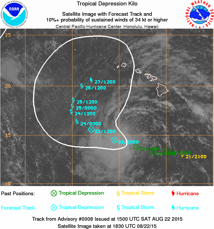
In the Central Pacific, Tropical Depression five-C continues to battle shear on its western side, shifting all the convection to the eastern side and exposing the low level center. The depression is moving toward the north-northeast and is expected to increase its speed today as steering flow increases. As it moves along its track, a shift from a northeastward movement to more northward and then northwestward movement is expected as it gets caught in the upper level pattern. Some model disagreement occurs with the intensity of the storm itself, but it is expected to increase in intensity from a tropical depression to a tropical storm later tonight, even as shear increases. However, the system should transition into an extratropical storm over the next 2-3 days. Tropical Storm watches and warnings are in effect for some of the Central Pacific islands located well to the west of the Hawaiian Islands.
![[Image of 5-day forecast of predicted track, and coastal areas under a warning or a watch]](http://www.nhc.noaa.gov/storm_graphics/AT04/refresh/AL0415W5_sm2+gif/204324W_sm.gif)