The upcoming week will feature more heat in Texas and parts of the West, some severe weather in the northern tier of states and the potential for a tropical system in the Gulf of Mexico.
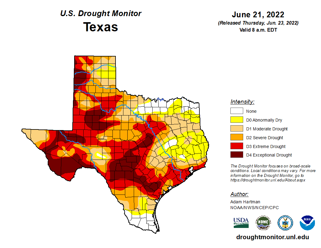
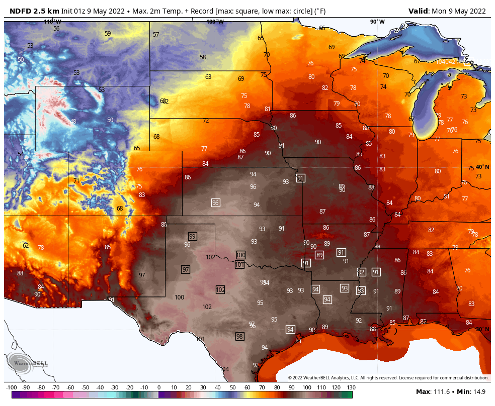
Record high temperatures were observed across much of the Plains states and Texas again on Sunday. In College Station, Texas, the high temperature reached 111 degrees at Easterwood Field. This not only broke the daily record of 109 that had stood since 1917, it broke the all-time record for July of 110, originally set on July 24, 1903, and tied on July 11, 1917. The 111-degree reading is tied with the 111 on September 5, 2000 for the 2nd warmest day in the city’s history, trailing only the 112 recorded on September 4, 2000. The heat will continue across Texas for the next few days, but temperatures shouldn’t be as hot as they were over the weekend. Records are still likely to fall in many spots across the state on Monday, with a few more possible on Tuesday and Wednesday as well. Excessive Heat Warnings and Heat Advisories remain in effect for a large part of the state.
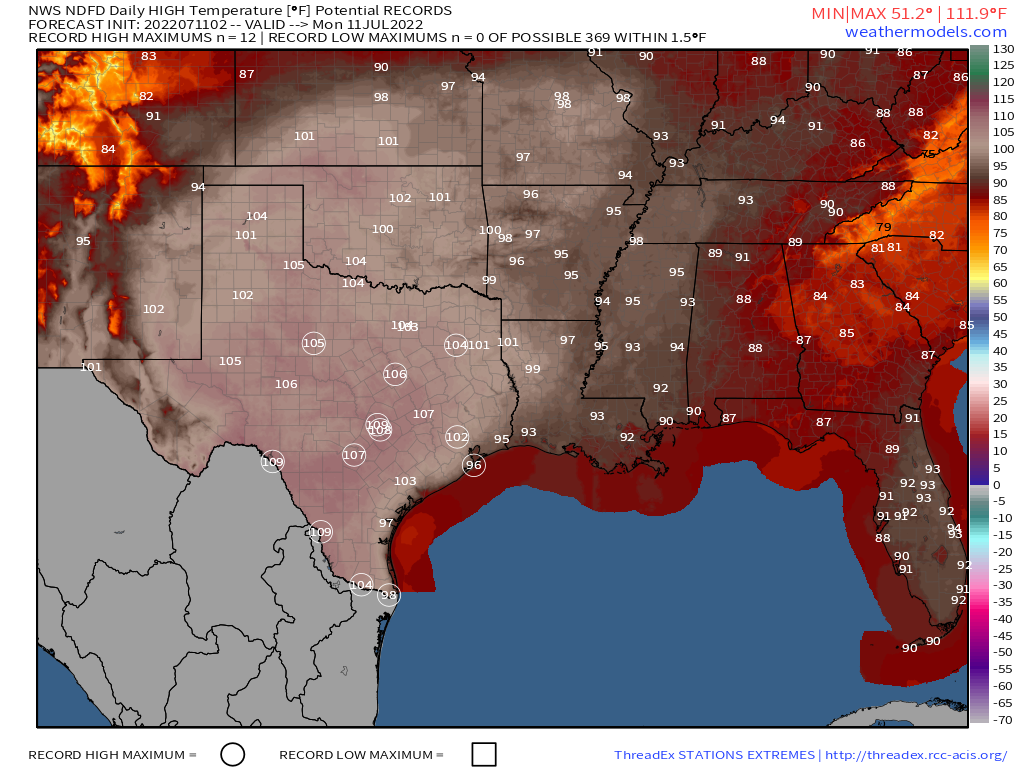
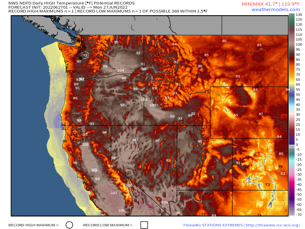
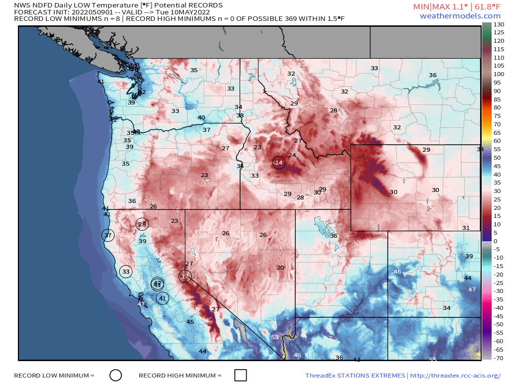
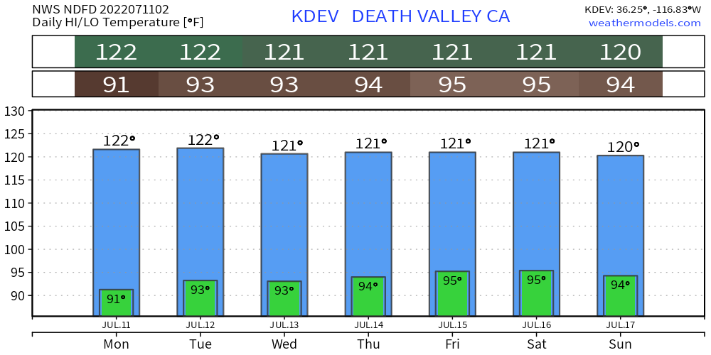
The heat will also continue across the Southwest and interior portions of the West for a good portion of the upcoming week. A few records are possible, but in most cases, temperatures will be 5-10 degrees above normal. Temperatures will likely top 110 in Las Vegas for the next few days, and in places like Phoenix and Tucson for most of the week. Triple-digit temperatures are likely across interior California Monday and Tuesday before dropping a little toward mid-week. Heat will also spread into parts of the Interior Northwest by midweek.
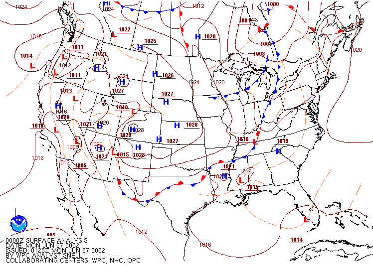
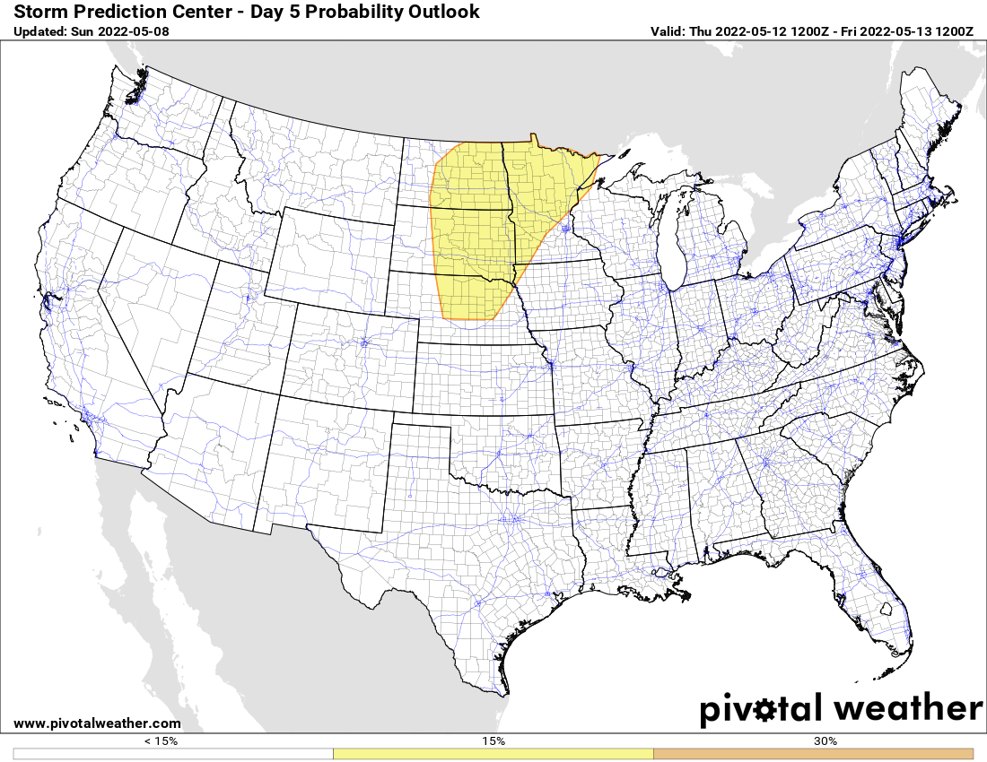
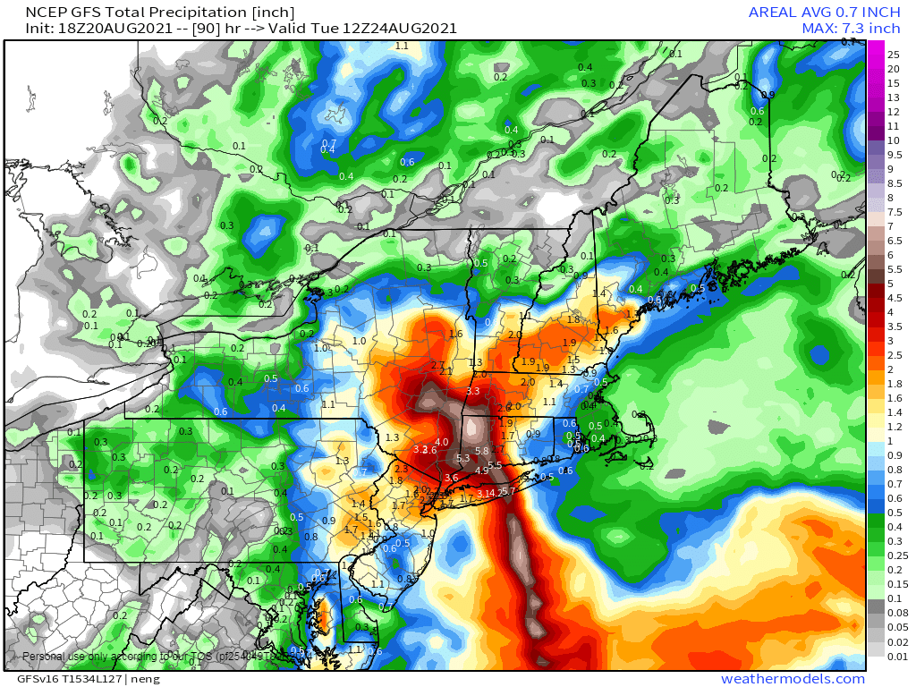
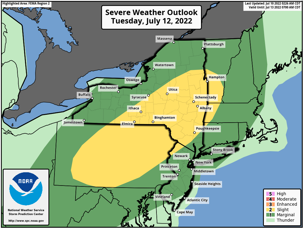
A frontal system will move across the northern tier of states over the next couple of the days. With a warm and humid airmass in place, some strong to severe thunderstorms are likely. The severe weather threat Monday exists across parts of the Great Lakes including the Chicago metropolitan area. By Tuesday, the threat will shift into interior portions of the Northeast. With the front not expected to reach the coast until after dark Tuesday evening, it will limit the severe weather threat for the big cities of the I-95 corridor on the Northeast. Some of the stronger storms may produce damaging winds, large hail, and heavy downpours that could lead to flash flooding in spots.
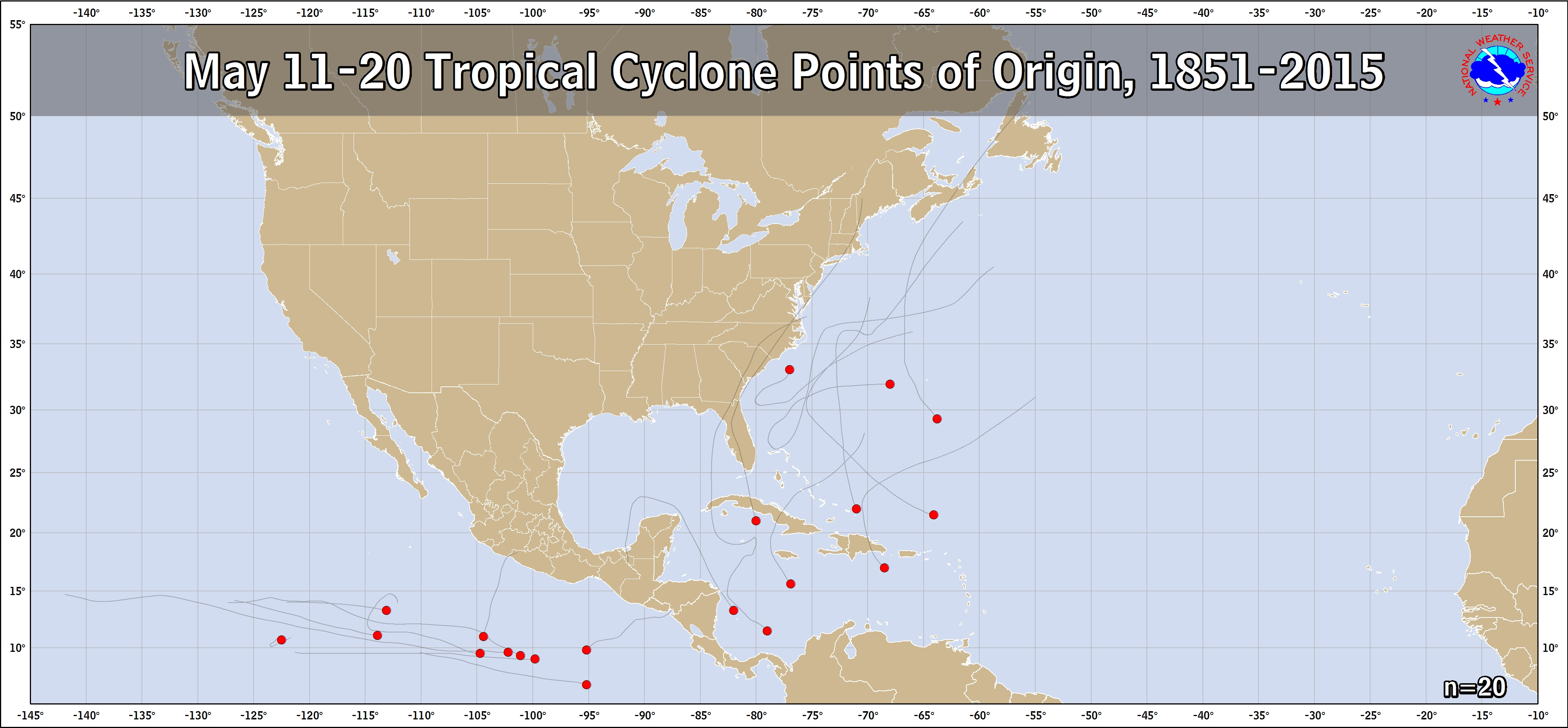
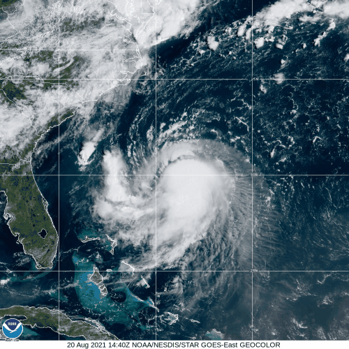
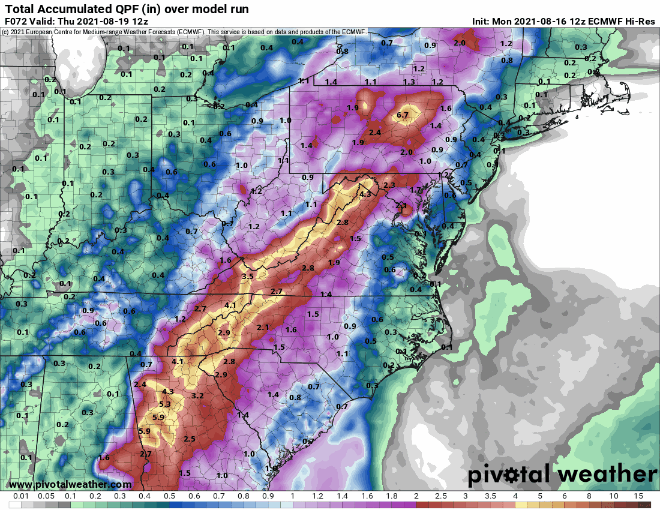
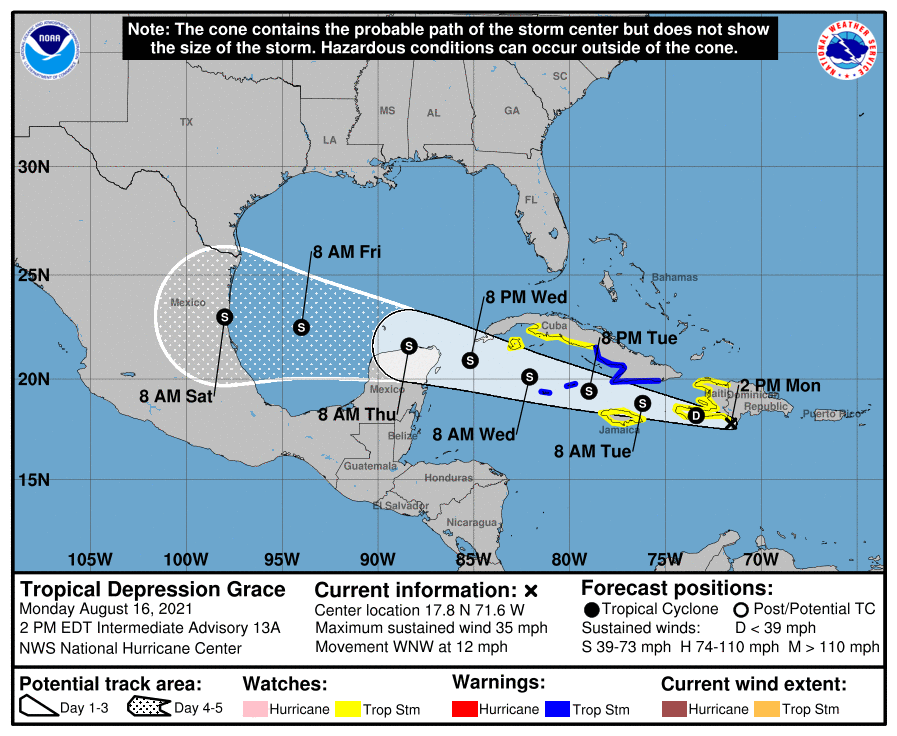
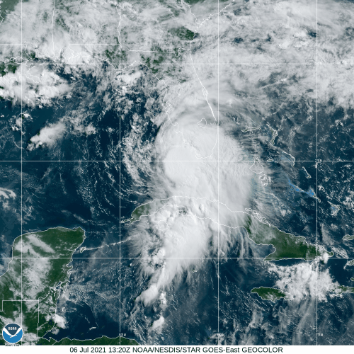
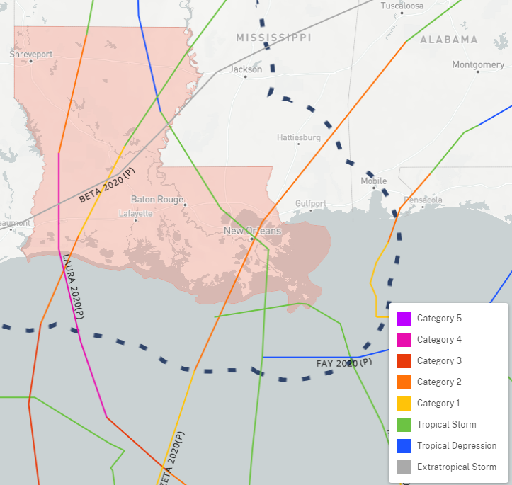
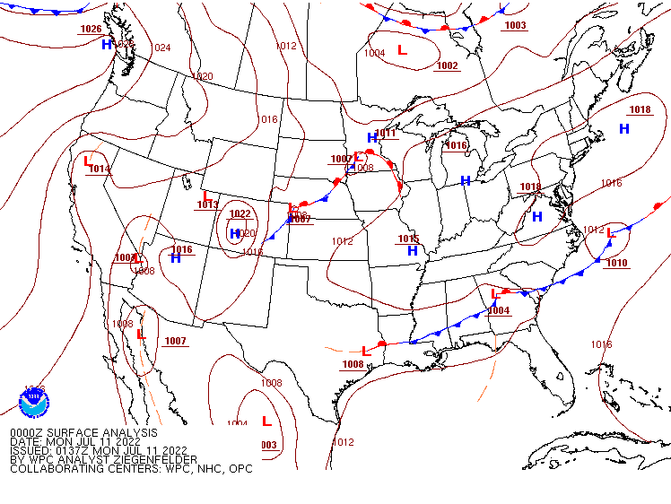
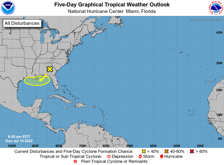
Finally, low pressure is located along a frontal boundary over Georgia this morning. That boundary will wash out near the Gulf Coast over the next few days, but as it moves over the warm waters of the Gulf, conditions could become favorable for a low pressure area to form later this week. Whether it does form or not, some heavy rain is expected along the Gulf Coast from northern Florida to Louisiana. Some forecast models show the potential for rainfall totals 3 to 6 inches or higher, which could produce flooding in some areas.
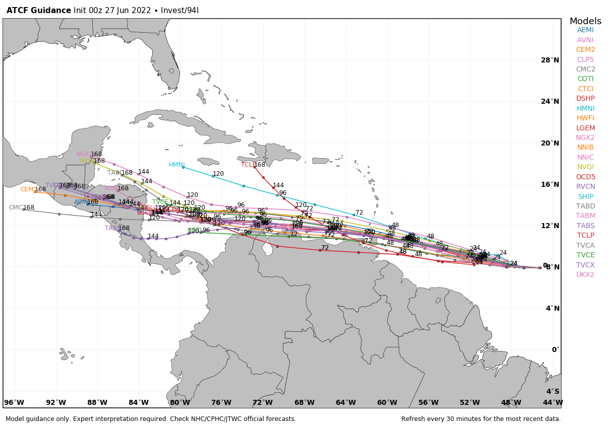
In the Eastern Pacific Ocean, Hurricane Darby should continue westward over open water for the next several days, well southwest of Mexico. It will likely peak in intensity toward Tuesday, then steadily weaken over cooler water. Some of the remnants of the system could enhance rainfall across Hawaii toward next weekend.