After a fairly active week last week, a much more quiet pattern is expected for the upcoming week.
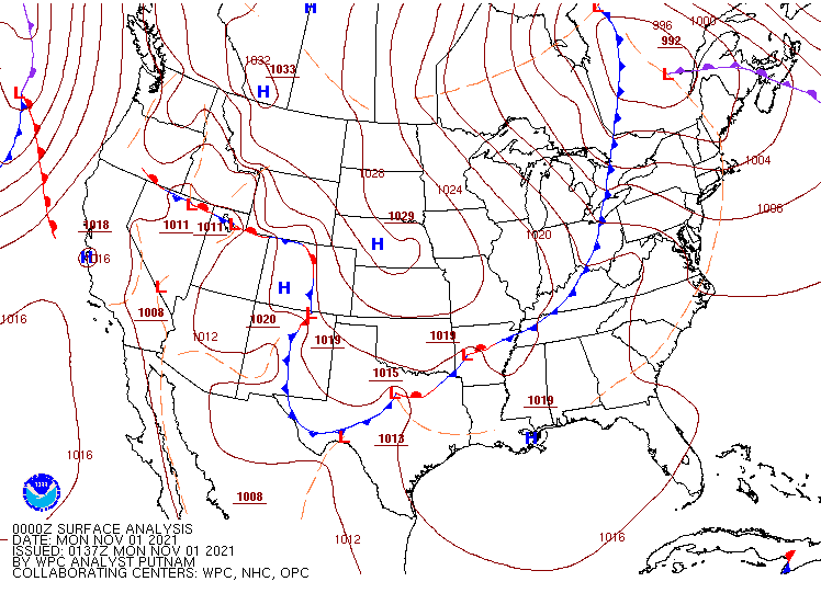
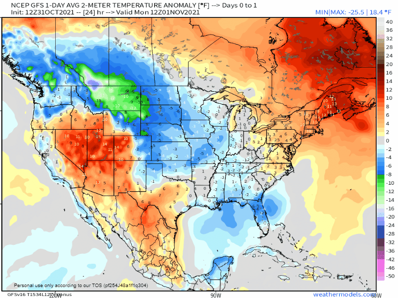
The biggest thing we’re keeping an eye on this week is the cold air that will spread across the eastern two-thirds of the nation. A strong cold front will move off the East Coast Monday morning, with the tail end of the front stalling out from the Carolinas to northern Texas. Behind this front, much cooler air has already settled into parts of the Plains states and Mississippi Valley, and it will continue to spread eastward. A series of weak cold fronts dropping out of Canada will help to usher progressively cooler into parts of the Northeast and Mid-Atlantic states as well. Temperatures will be 6-12 degrees below normal from the Northern and Central Plains into parts of the Upper Midwest for Monday and Tuesday, with the core of the colder air shifting into the region from the Southern Plains into the eastern Great Lakes for Wednesday into Friday, and the East Coast next weekend. A few record lows may be set, but widespread records are not anticipated. However, with this cold airmass settling in, the first frost and/or freeze of the fall will be possible from parts of the Deep South into the Southeast and Mid-Atlantic states later this week.
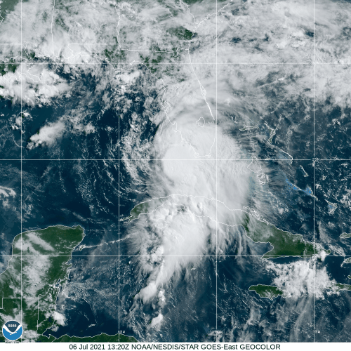
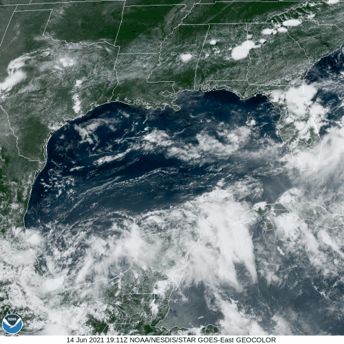
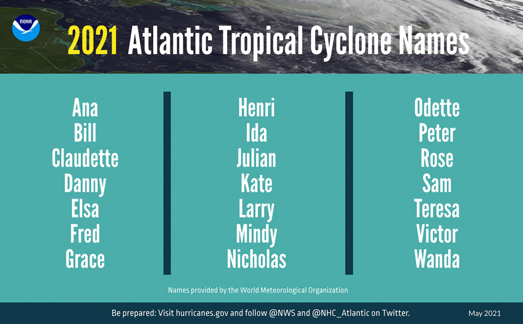
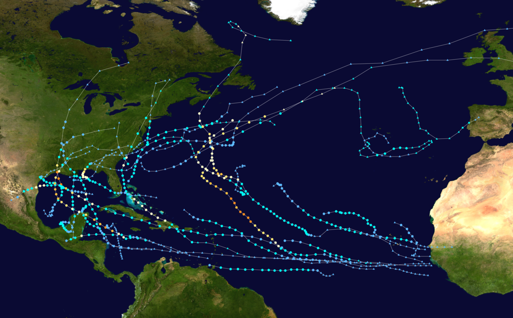
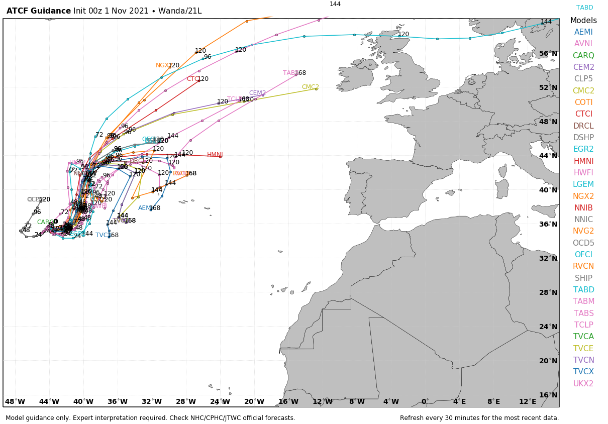
Meanwhile, in the Atlantic, we’re entering the final month of hurricane season, and although October was quiet for the most part, November is not starting off that way. The storm system that produce heavy rain and significant wind damage across the Mid-Atlantic and Northeast last Tuesday and Wednesday moved out to sea and passed south of Atlantic Canada over the past several days. During the weekend it turned southward, moved over warmer water, and began to transition from a cold-core system to a warm-core system. Early Sunday it was designated as Subtropical Storm Wanda. It is in the middle of the Atlantic, nearly 1000 miles west of the Azores with maximum sustained winds near 50 mph. While it remains over marginally warmer waters, it may complete the transition into a tropical system and strengthen a bit more over the next day or two. Later this week, the most likely scenario is for it to head northeastward over colder water, transition back into an extratropical system, possibly bringing some rainfall and gusty winds to the British Isles next weekend. However, there are some models that show the storm turning back toward the south, and possibly impact the Azores by next weekend.
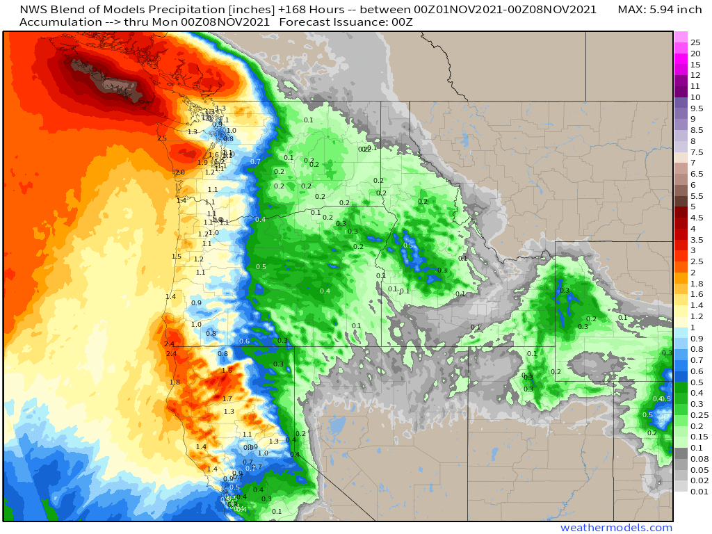
Elsewhere, as is usually the case as we get into this time of year, a series of storm systems will bring heavy rain and mountain snow to parts of the Pacific Northwest and British Columbia, as well as parts of northern California. None of these systems will be as extreme as the storm that impacted California last week, but they will bring beneficial rainfall to the region.
The only other item of note for the week ahead is the potential for the first snowflakes of the season later this week east of the Great Lakes and into the higher elevations of the Northeast and New England. Any accumulations would be light, but they would be (in most cases), the first snow of the season, which is noteworthy in and of itself.