A rather active pattern is expected across the nation during the upcoming week.
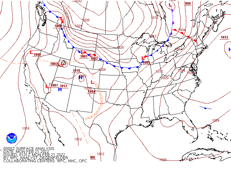
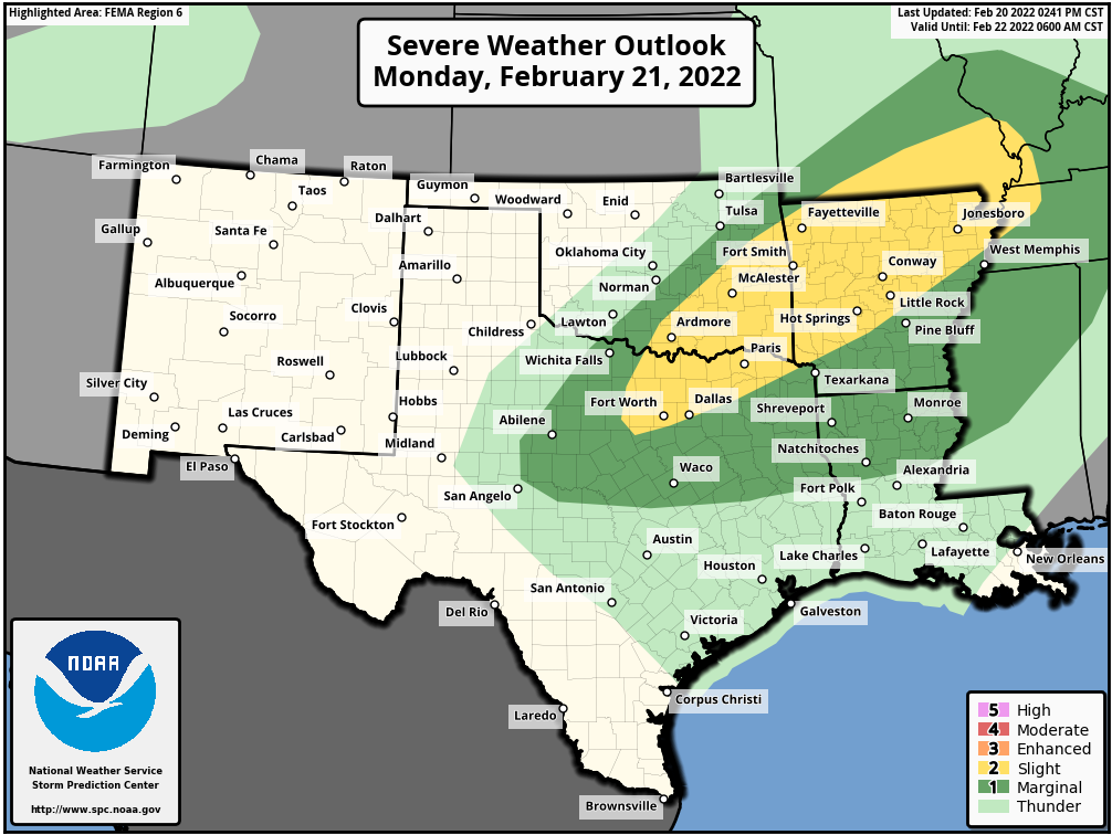
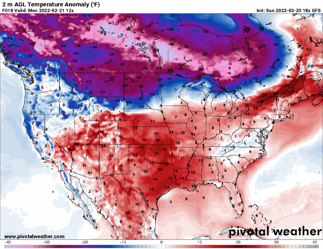
Low pressure will move into the southern Plains today, heading toward the Great Lakes on Tuesday, then up the St. Lawrence Valley Tuesday night, producing a variety of weather across the eastern two thirds of the nation. As it draws warm and humid air northward from the Gulf of Mexico, it will produce some heavy rain and thunderstorms, some of which could be strong to severe, across parts of southern Plains and Mississippi Valley today and tonight, with the heavy rain and severe weather threat shifting into Deep South and Tennessee Valley on Tuesday. Many areas could see 1-2 inches of rain, with heavier amounts possible, which could lead to flooding in some areas. Unseasonably mild weather is also likely ahead of the storm, with some record highs possible in the Mississippi Valley on Tuesday and parts of the Southeast on Wednesday. A few record highs are also possible in the Northeast during Tuesday and Wednesday and warmer air surges northward ahead of the system.
To the north, the storm will produce heavy snow and gusty winds, resulting in near-blizzard conditions at times from the Northern Plains into the Great Lakes over the next couple of days. Snowfall totals of 5-10 inches are possible in parts of the Dakotas today into Tuesday, but in the Great Lakes, many areas could see a foot or more. Once the snow ends, arctic air will settle into the region. Temperatures will drop below zero each night this week across most of the Northern and Central Plains and the Upper Midwest, with record lows possible in many locations. Temperatures will be 20 to 40 degrees below normal through Wednesday before some moderation begins.
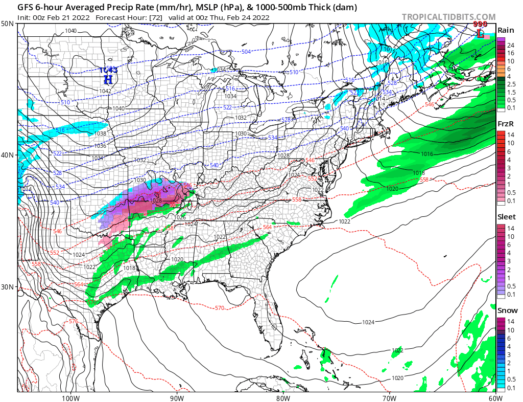
Later in the week, we’ll do it all over again. Low pressure will move out of the Southern Plains and toward the Ohio Valley on Thursday, before redeveloping off the Mid-Atlantic coastline. Ahead of the storm, some heavy rain and thunderstorms are likely from the Lower Mississippi Valley into the Deep South and the Mid-Atlantic states, with more record highs possible across parts of the Southeast. The difference this time is with a track farther to the south compared to the early-week storm, the threat for wintry weather will increase from the Ohio Valley into the Northeast. The exact track will determine what areas get all snow and what areas see a mix of snow, sleet, and/or freezing rain, but areas that remain all snow have the potential for 6 or more inches of accumulation.