The weather looks quiet across much of the nation this week, but the tropics may be starting to get active.
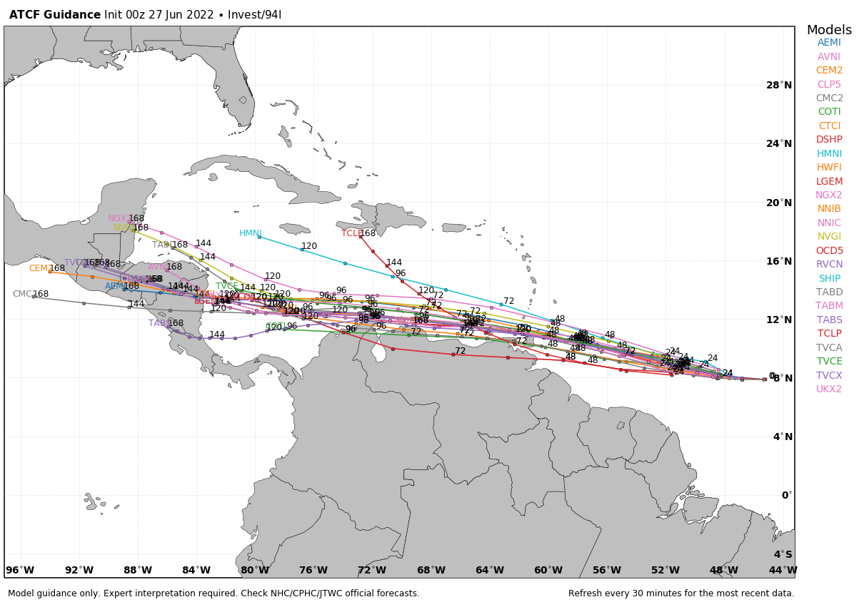
A tropical wave is making its way across the Atlantic, and has been slowly showing signs of organization over the past several days. Conditions are favorable for additional development, and it could become a tropical depression before it crosses the Windward Islands on Tuesday. It should move into the southeastern Caribbean on Wednesday, then track across the southern Caribbean, possibly impacting the ABC islands later in the week. With the system expected to remain fairly far south and close to the northern coast of South America, significant development is not likely, but the system could become a tropical storm as it crosses the Caribbean.
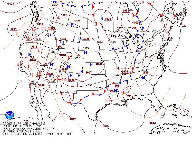
We’re also keeping an eye on a cluster of thunderstorms in the northern Gulf of Mexico. They remain disorganized, but should drift toward the west over the next few days. There is some potential for limited development, though it doesn’t not seem very likely at this time. Whether it develops or not, the area of showers and thunderstorms should move into Texas later this week, bringing some beneficial rainfall to parts of southeastern Texas.
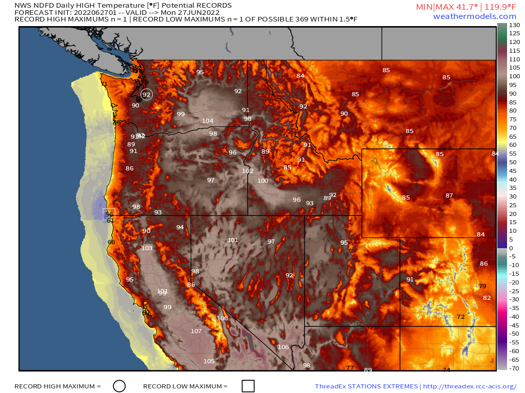
The heat wave that had been gripping much of Texas and the Deep South has finally broken, and while there’s no extreme heat expected this week, much of the nation will see at least 1 or 2 hot days during the upcoming week. One such area is the Pacific Northwest. Heat starting moving into the region on Sunday, including Seattle and Portland. Today is will spread into parts of southeastern Alaska as well as the Interior Northwest. Spokane, Washington should reach 90 today for the first time this year. Last Wednesday, the city reached 80 for the first time, the latest in the year that Spokane recorded their first 80-degree day. In southeastern Alaska, temperatures will get well into the 70s and 80s in many locations, including Juneau, where some records may be set.
The heat will shift into the Plains states by midweek. Temperatures could top 100 across parts of the Northern and Central Plains on Wednesday, with the core of the heat shifting into the Central and Southern Plains on Thursday. By the end of the week, it looks like Friday will be a hot day across the I-95 corridor in the Northeast. Temperatures could get well into the 90s from Washington to Boston to start the holiday weekend.