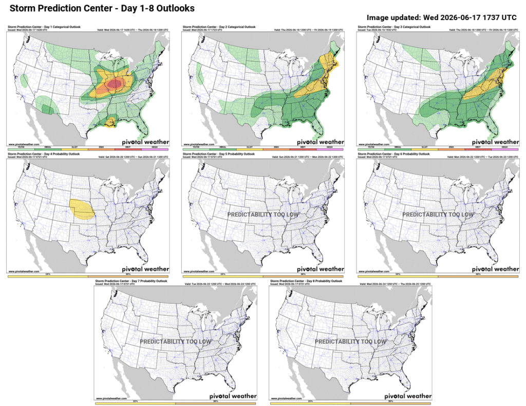
After a calm weekend following the severe weather the week of June 7th, Severe weather returns to the Midwest this week.
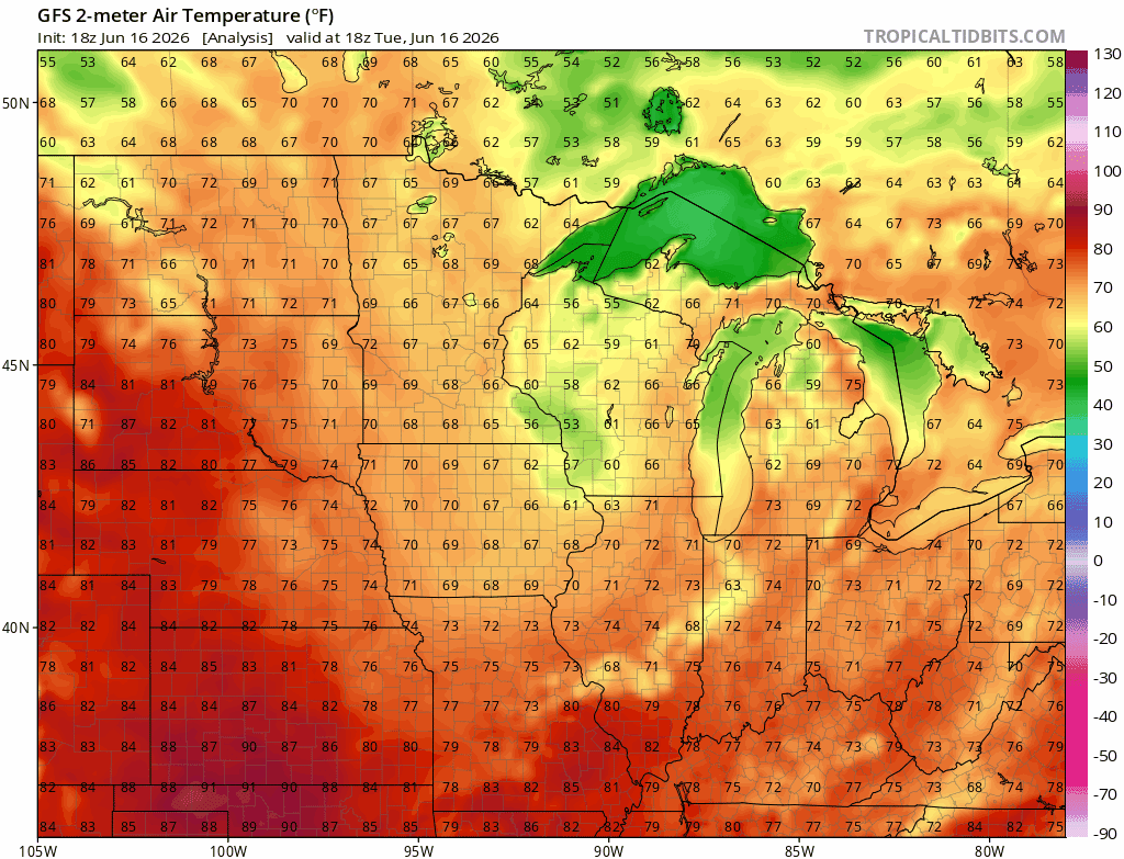
A low pressure system is sweeping through the Midwest along the jet stream, meeting warm Atlantic moisture as it does, bringing severe thunderstorms, wind, hail, and tornadoes as they collide. Fortunately temperatures are expected to remain cool in the Midwest, with highs in the 60s and 70s, and lows in the 50s between the the 17th and the 20th.
Severe weather, including tornadoes, hail, wind, and thunderstorms, are expected to remain in the region today, moving into the Northeast on Thursday.
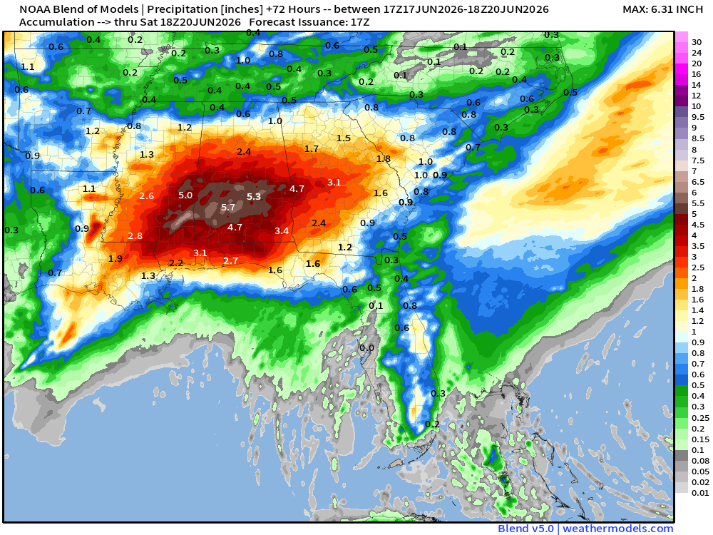
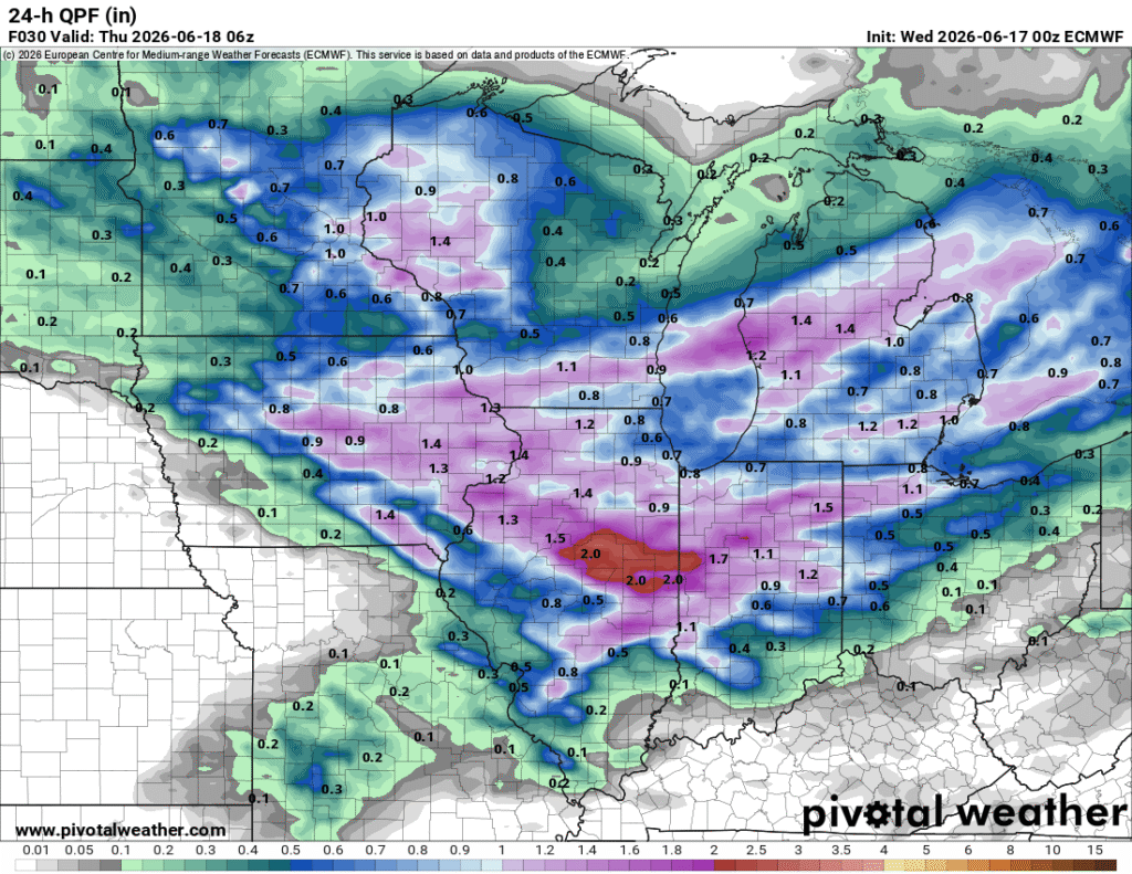
In the South, a large region of moisture is expected to bring excessive rainfall to to the area as it moves inland before combining with the system in the north. Southeast Mississippi and Southern Alabama are expected to get up to 5 or 6 inches of rain from the night of the 17th to the 20th with strong winds and flash flooding as the main risk, and a slight chance for tornadoes.