People across the United States are preparing for the upcoming winter season. Some areas, especially in the north and at higher elevations, have already experienced their first snowfall of the season. Many areas across the eastern United States will experience what is likely the coldest weather of the year so far, as a low-pressure system brings cold arctic air to the region.
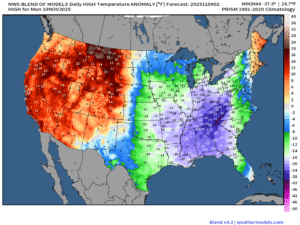
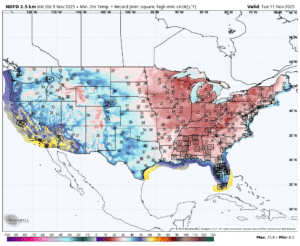
A cold front sweeping across the eastern half of the United States will pull arctic air out of Canada as it moves east, causing temperatures to plummet. Areas near the Appalachian Mountains could experience afternoon high temperatures more than 30 degrees below normal on Monday, with record lows possible on Tuesday morning across the southeastern United States.
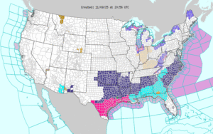
Freeze warnings are in effect for some places across the region, meaning these sub-freezing temperatures could damage, or even kill, crops and other sensitive vegetation. When a freeze warning is in effect, it is recommended that anyone affected take precautionary measures to protect these sensitive plants. Fortunately, these cold temperatures will only be around for a short time across the Southeast. High pressure is expected to move over this region by the middle of the week, allowing temperatures to stabilize and possibly even shift above normal through the end of the week.
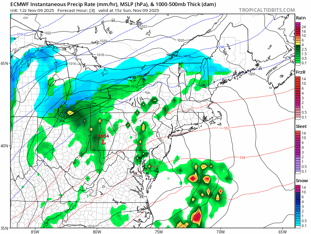
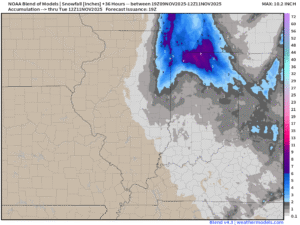
In the north, a low-pressure system will bring rain and snow from the Great Lakes to the Northeast. During this time, areas in the Great Lakes will experience their first Lake Effect event of the season. An upper-level wave will swing around behind the larger low-pressure system, bringing snow to most areas in its wake. Communities along the south shore of Lake Michigan will experience the highest snowfall totals from this system, with several inches of snow possible in some areas.
This disturbance will also keep things unsettled across the Northeast as it moves offshore around the middle of the week, with snow showers possible each day in Northern New England and Upstate New York. Another system following behind will bring a continued chance for snow and rain showers across the region through Thursday, before high pressure eventually moves in toward the end of the week.