August typically brings a range of weather conditions to the United States, from excessive heat to tropical systems and everything in between. As we move into the middle of the month, we are beginning to see this play out.
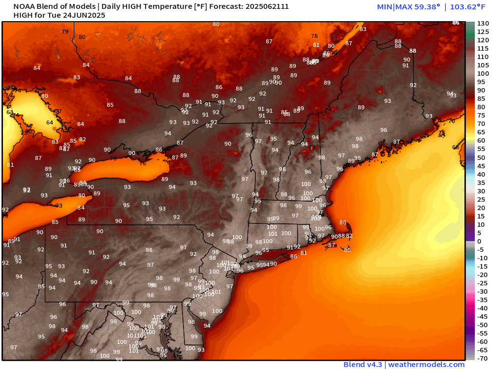
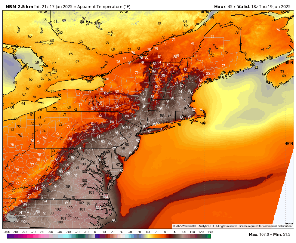
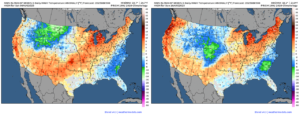
This weekend will bring dry and warm weather to much of the country. Many areas are expected to experience above-normal temperatures on Saturday. In contrast, others, including the Mid-Atlantic, Southeast, Intermountain West, and North-Central Rockies, are expected to experience below-normal temperatures. A cold front moving into the center of the country on Saturday will allow temperatures to dip below normal across the Central Plains on Sunday. Temperatures will also shift above normal on Sunday in interior areas of the Pacific Northwest as high pressure builds in across the region.
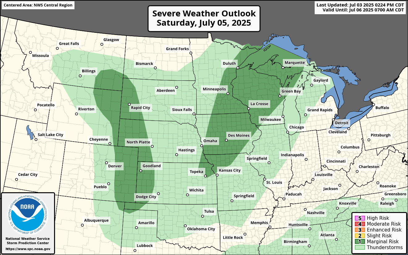
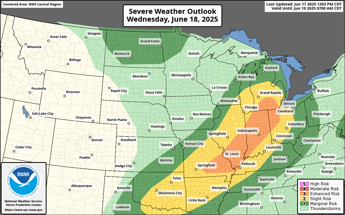
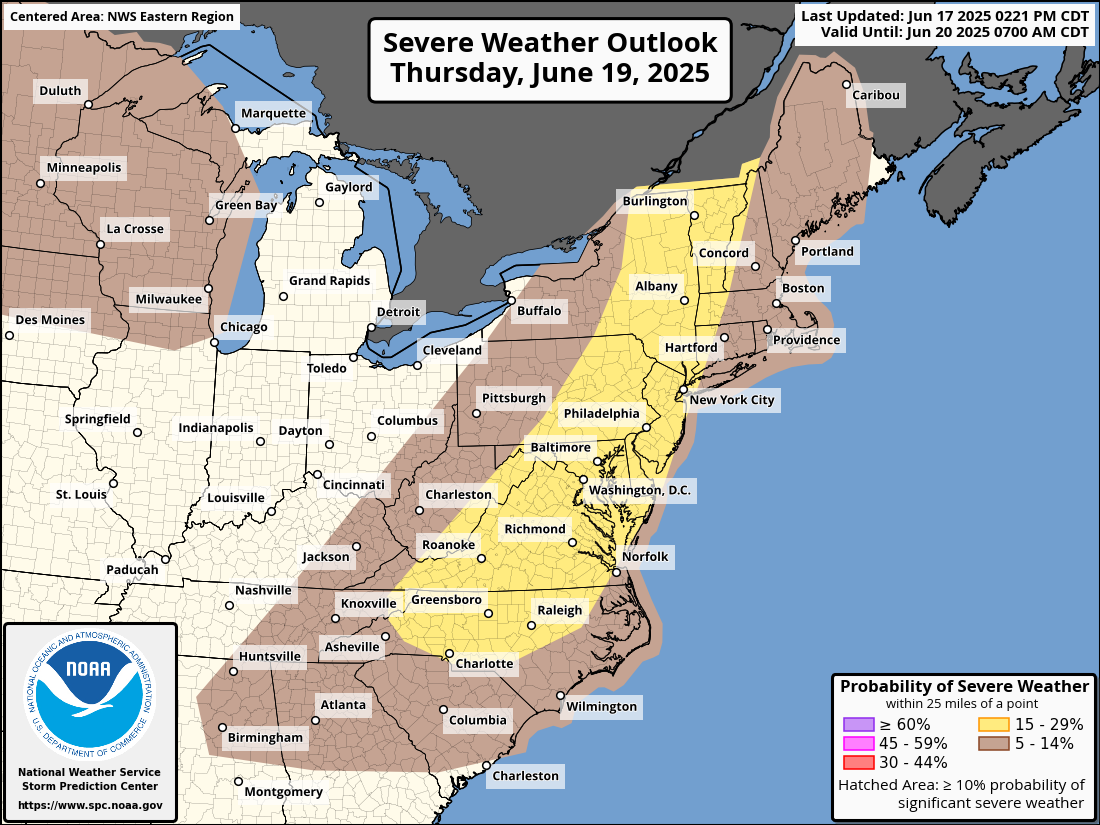
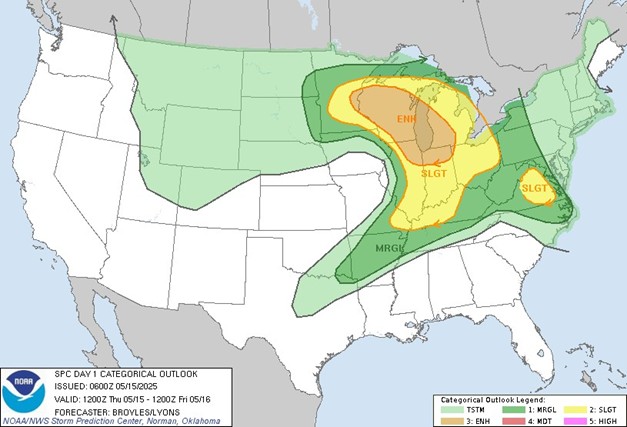
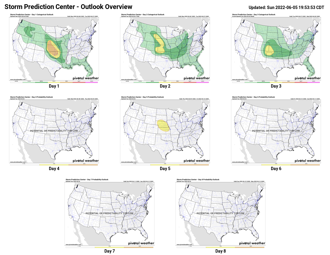
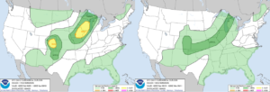
A cold front moving across the central United States will bring a marginal risk of severe weather to the Upper Great Lakes and Central Mississippi Valley, as well as the Central and Southern Plains, through the weekend. The highest risk for severe storms will be on Saturday, with a slight risk of severe weather across southwestern Wisconsin, southeastern Minnesota, northeastern Iowa, and eastern Colorado.
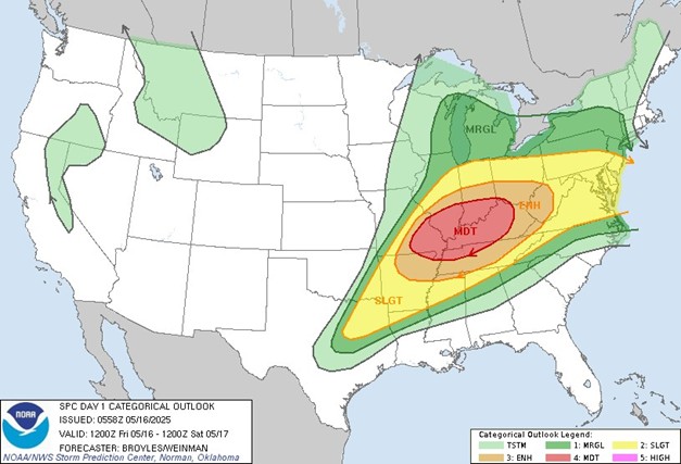
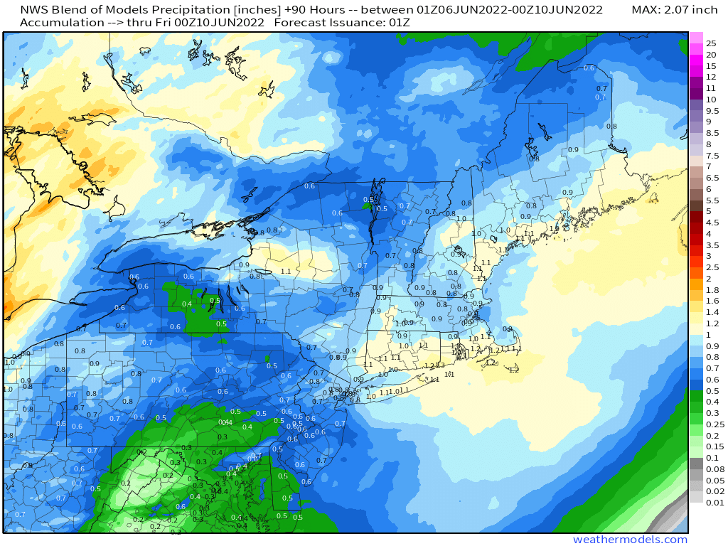
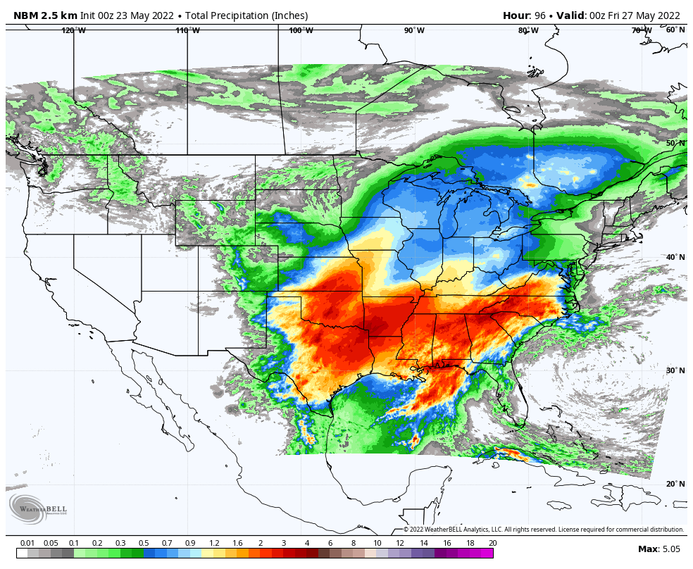
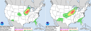
The cold front will also bring heavy rainfall to the Upper Midwest. There is a moderate risk of excessive rainfall across southwest Wisconsin, eastern Iowa, northwestern Illinois, and northeast Missouri on both Saturday and Sunday, with a slight risk extending from southern Wisconsin to eastern Kansas. A stationary front will continue to produce rain and thunderstorms across much of the Southeastern United States, with a marginal risk of excessive rainfall on both days. Meanwhile, in the Southwest, monsoonal moisture will bring showers and thunderstorms to the region with a marginal risk of excessive rainfall for both Saturday and Sunday.
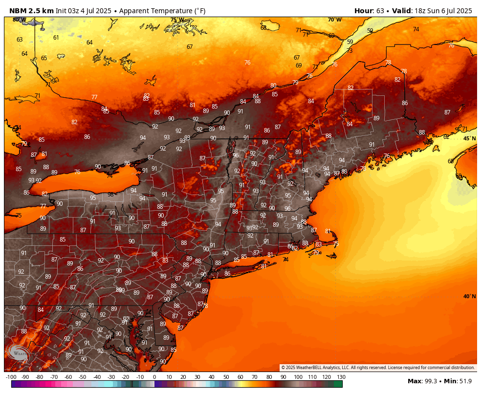
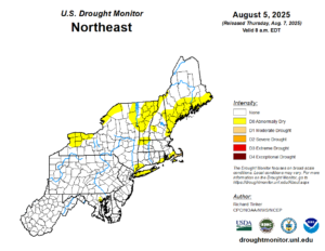
As we move into the beginning of next week, temperatures are expected to rise across the Northeast, with above-normal values anticipated for much of the week. The slow-moving front will bring showers and thunderstorms to the Midwest through the middle of the week before moving into the Northeast toward the second half of the week. The Northeast will see its next potential for rain as this front moves through, ending its dry stretch, which has caused some areas to become abnormally dry across the region.
The stationary front across the south will continue to bring the potential for rain and thunderstorms to much of the region through the end of the week. Areas in the Southwest will also see the possibility of showers and thunderstorms each afternoon as monsoonal moisture remains over the region. Otherwise, high pressure will continue to bring dry weather to the majority of the country.
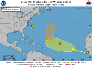
We will also be monitoring tropical development as the week progresses, since the National Hurricane Center continues to monitor areas in the Atlantic Ocean for possible development over the next seven days. Some models have been in favor of tropical development by the end of the week, but also show vastly different solutions for these systems. At this time, it is still too early to determine whether these storms will develop, never mind their storm tracks.