The weekend of the 10th will bring excessive rain and flooding to the Ohio Valley, Heat to the Midwest and Southwest, and near-average conditions for the Northeast.
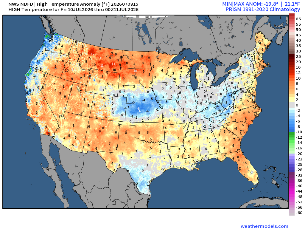
For Friday, highs across the country will be in the 80s and 90s, with lows in the high 40s to low 60s across the northern US and the eastern Rockies, while the southern and central US will see 70s into the low 80s. Much of the country will be near normal for this time of year. Central Kansas will be on the cooler side, around 8 degrees below normal as a surface front moves southward, while the Northern Rockies will be 10 degrees above average for both high and low temperatures. Light showers can be expected across the eastern US, with the southern Ohio Valley seeing localized amounts of 1 to 2 inches of rain. The southwestern and western US also face an elevated risk of fire as moisture moves out of the region.
For Saturday, much of the southern and western US could see high temperatures in the high 90s to above 100 degrees as an upper level high settles over the region. The Northern Rockies are notably warm, with temperatures almost 20 degrees above average across Montana and North Dakota. Saturday will see continued rainfall in the southern Ohio Valley into the Mid-Atlantic as the front moves southward, with scattered showers continuing through the weekend. Southern Indiana and Tennessee could see localized totals between 2 and 4 inches, causing flash flooding, with 2-day totals reaching up to 6 inches.
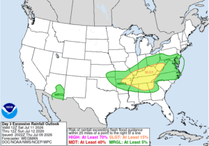
In the Northern Rockies, where temperatures are well above average, extreme heat warnings are in effect, and local daily records are likely to be set in many cities. Outdoor activities are recommended to be minimized where possible, and plenty of water and breaks are recommended where not. In the southern Ohio Valley and northwestern Mid-Atlantic, a slight risk of excessive rainfall persists with storms Friday and Saturday, when flash flooding is most likely.
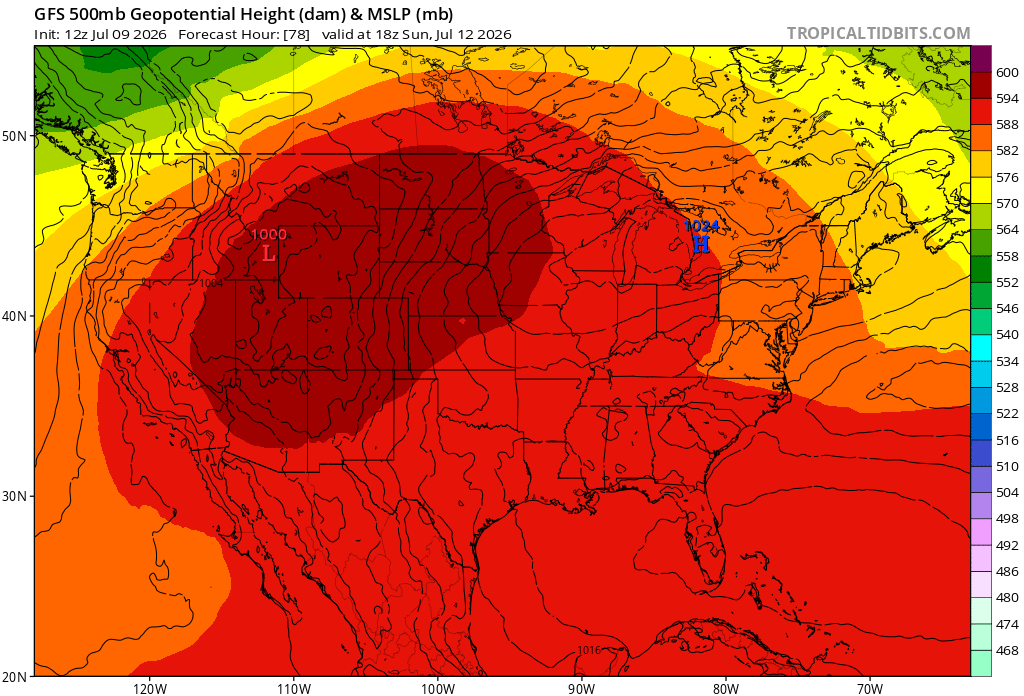
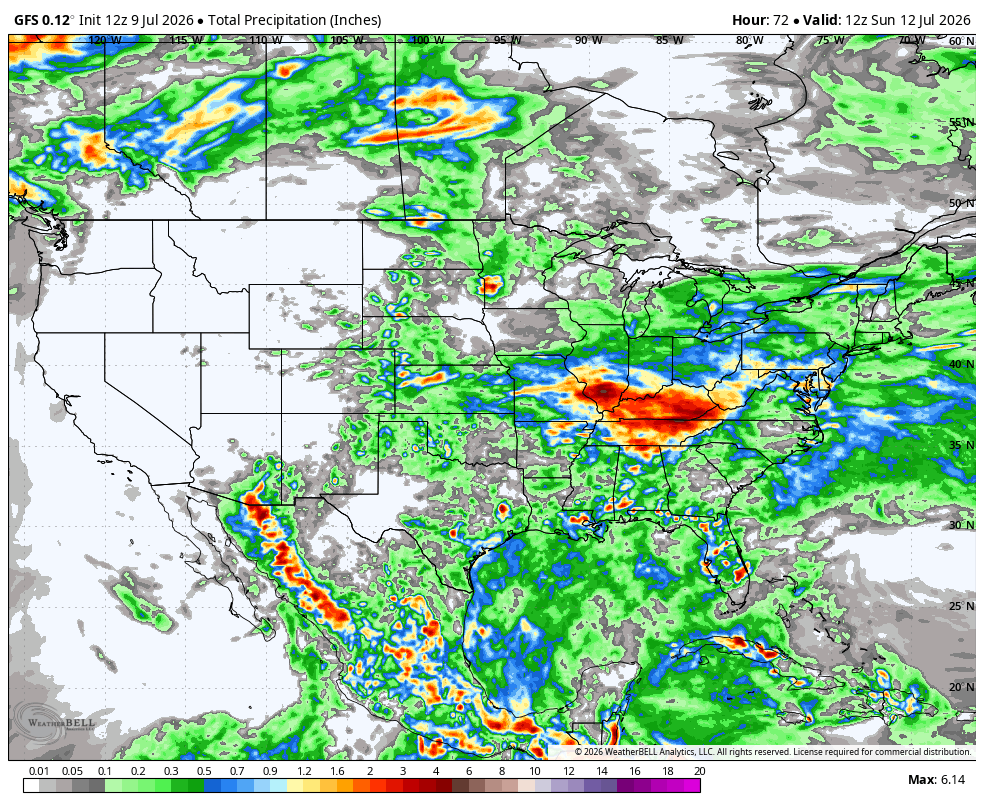
On Sunday, highs in the northeast will remain in the 80s and 90s in the southeast. The Southwest and the Rockies will remain 10-15 degrees above normal, with highs in the upper 90s to above 100 degrees from southern California to Montana and the Dakotas. Up to 1 inch of rain is expected as the storms move deeper into the Mid-Atlantic, with Eastern Kentucky, Western Virginia, and the Carolinas potentially seeing localized rainfall of up to 3 inches. Most of the southern US will also see light showers through the day.