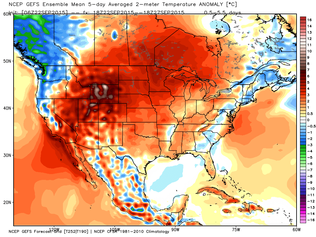
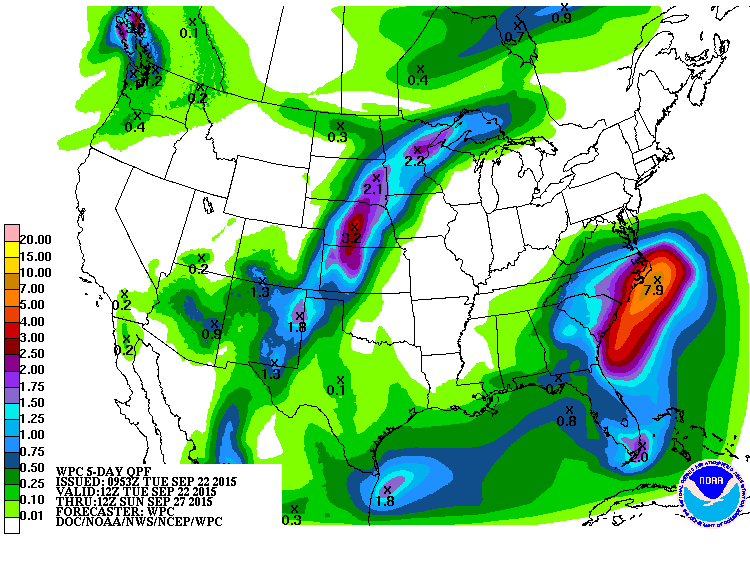
The past several months have been mostly warm and dry across much of the Northeast. The next week or so will see a continuation of the dry pattern, but temperatures will be much cooler. Meanwhile, persistent but much-needed rainfall is expected across the Southeast for the next several days.
A large area of high pressure will settle into southeastern Canada over the next several days, slowly drifting east-southeastward into New England and then into the North Atlantic. This will provide plenty of sunshine to much of the Northeast. However, the clockwise flow around the high will produce northeast to easterly winds across the region, blowing in off the Atlantic, where water temperatures are only in the upper 50s to middle 60s. As a result, high temperatures will only be in the 60s to lower 70s for most of the remainder of the week. In most cases, this is near to a little below normal for the latter half of September. Nighttime lows will be mainly in the 50s near the urban areas and 40s in the suburbs, with some 30s in northern locations. This is also a little below normal. This is a stark contrast to the first half of September, which was close to the warmest on record for much of the region.
The dry weather is not good news though, as much of the Northeast has been in a drought for the past several months. Many locations are 4-8 inches below normal over the past several months. This may have a big impact on the fall foliage across the region. The warm and dry conditions may result in less vibrant colors across the region, and may also result in many leaves falling from the trees before reaching peak color. Windy conditions could result in additional leaves dropping early as well. Some of the leaves are already starting to change colors in far northern areas, with a few splashes of color showing up elsewhere.

Meanwhile, to the south, a weak area of low pressure is sitting a few hundred miles off the North Carolina coastline. With the large high pressure area to the north, the system has nowhere to go, and will likely remain off the coast for the next several days, slowly drifting westward towards the Carolinas. Although water temperatures remain warm, the system is not tropical in origin, and conditions aren’t favorable for much strengthening. The storm will bring plenty of beneficial rainfall to the region though, with widespread totals of 1-3 inches expected from southern Virginia across the Carolinas and into Georgia. Along the coast of North and South Carolina, even heavier totals are possible, with some places possibly receiving more than 5 inches of rain by the end of the week.
In between the high to the north and low to the south, an area of persistent strong winds is expected along the Mid-Atlantic coastline. Easterly winds of 15 to 25 mph, occasionally gusting to 40 mph or more are expected for much of the week from New Jersey southward to North Carolina. When combined with astronomically high tides, some coastal flooding is possible. Coastal flood advisories and high surf advisories have already been posted for parts of the region, and additional advisories and/or warnings are likely to be issued in the next day or two. There is also a high risk of rip currents in this area, so anyone planning on heading to the beach should pay attention and heed any warnings posted.