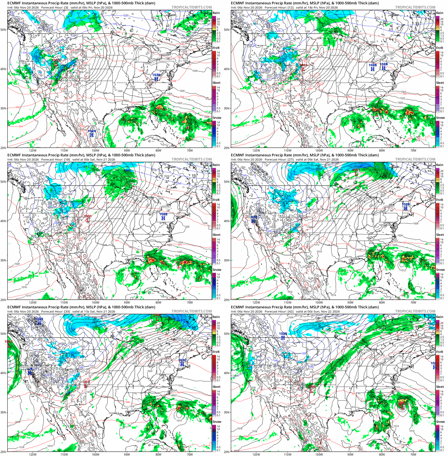
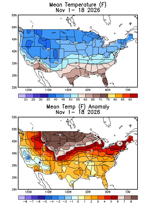
The first half of November has brought dry weather and mostly above-normal temperatures to much of the United States. However, significant systems in both the east and west are bringing heavy rain to eastern Florida and heavy snow to the Sierra Nevada Mountains and Lake Tahoe.
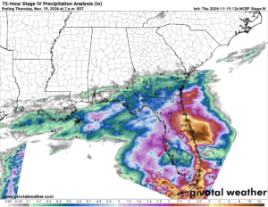
On the East Coast, a low in the Gulf has brought significant rain to Florida over the last few days. The eastern half of the Florida Peninsula has reported 1-5” of widespread rain. The eastern coast has received significantly more rain, with more than a foot recorded in some places, including nearly 17 inches at Cape Canaveral. This has caused significant flooding, with several feet of water reported on roadways, and some roads have been completely washed away.
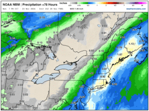
This low is quickly becoming more organized along the Florida coast. As the system moves offshore, it could develop tropical or subtropical characteristics before progressing along the U.S. East Coast as an extratropical cyclone. The system will remain along the coast, bringing rain and gusty winds from North Carolina to New Brunswick, Canada, before moving out to sea early next week. While models remain uncertain about how close the system will come to the coast, they do agree it will impact the Northeast, where those from Long Island to central New England can expect an inch or more of rain.
In the west, a system originating in the Pacific moved onshore near San Francisco, producing rain and mountain snow across Northern California and into the Sierra Nevadas. The highest peaks of the Sierra Nevadas received more than 4 feet of snow, with a foot or more closer to the surface around Lake Tahoe.
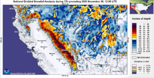
This system is forecast to progress east into the Rockies, where winter weather advisories and winter storm warnings are in effect for northern Utah and eastern Idaho through Saturday morning. Higher peaks could receive up to two feet of snow, with 2 to 4 inches of accumulation in the Valleys. As the storm attempts to push east, the high pressure over the eastern two-thirds of the U.S. will force the system into the Northern Plains, then eventually Canada.