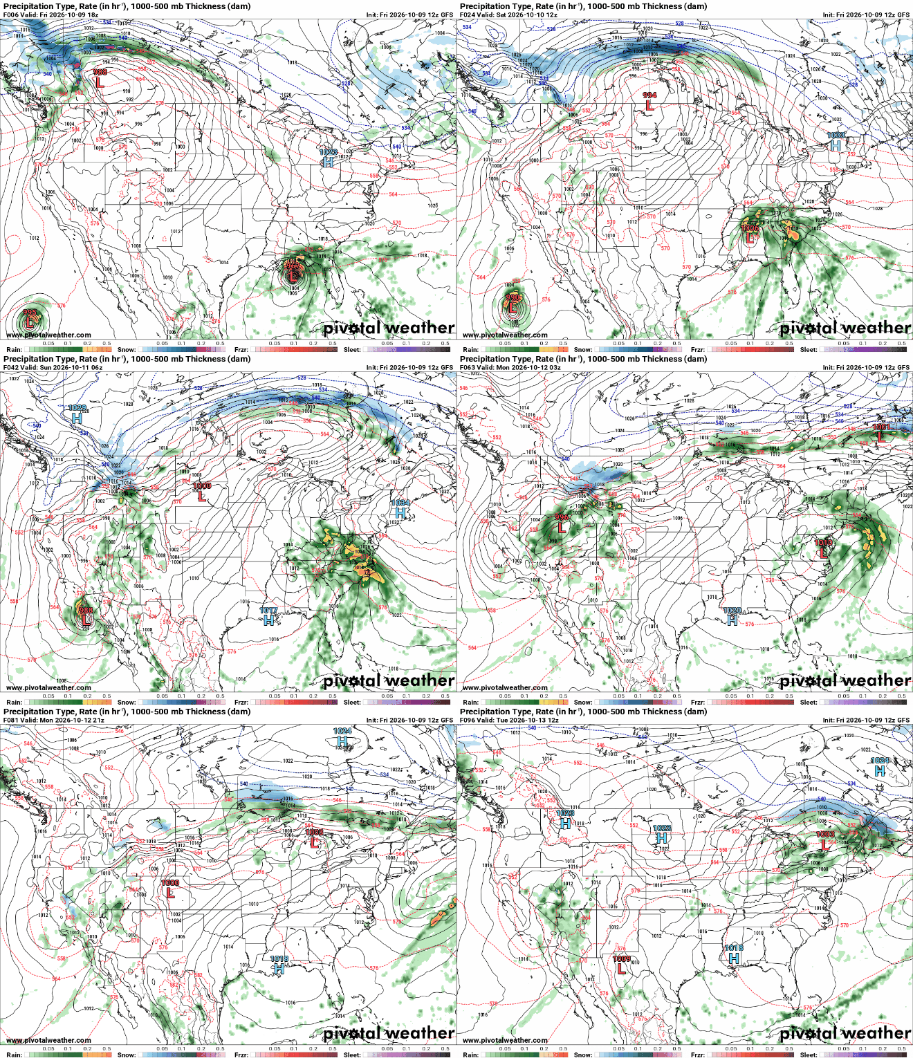
With only about a month and a half left in the 2026 Atlantic Hurricane Season, the first hurricane has formed, with impacts expected in the Southeastern U.S. Not only is this the first hurricane to form this season, but it is also the first to make landfall in the U.S., almost exactly two years after Hurricane Milton devastated southern Florida on October 9, 2024.
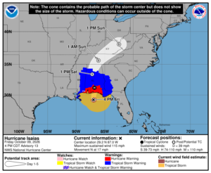
Earlier in the week, a system in the Bay of Campeche organized into Tropical Depression Nine on Tuesday evening and quickly strengthened into Tropical Storm Isaias by Wednesday morning. Over the next 24 hours, the storm continued into the central Gulf and strengthened into a Category 1 hurricane.
Isaias has continued strengthening and is now a Category 3 storm. The storm has begun to weaken as it approaches landfall, but will remain a borderline Category 2 to 3 storm with winds in excess of 110 mph. Hurricane, Tropical Storm, and Storm Surge Warnings remain in effect from New Orleans, Louisiana, to just east of Tallahassee, Florida. Rain will continue across Florida and will move onshore across the Eastern Gulf Thursday evening and overnight. Strong, damaging thunderstorms are possible along the Florida Panhandle through Saturday, and a few tornadoes could also spin up.
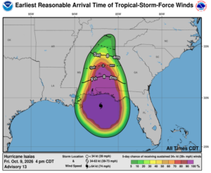
After landfall, it will rapidly weaken to a tropical storm and eventually dissipate in the days following. Many areas across the Southeast, especially along the Gulf Coast, should prepare for severe and catastrophic flooding from heavy rainfall and life-threatening storm surge. The heaviest rainfall will remain east of the storm center, where the western Florida Panhandle and the eastern coast of Alabama could see 6 to 8 inches of rain. Outside this bullseye, much of the Eastern Gulf Coast could see 2 to 4 inches of rain. In addition to the excessive rainfall, areas near the coast could experience life-threatening storm surge, with inundation of 5 feet or more possible, especially along the Florida coast.
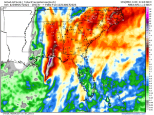
In the days after landfall, the storms will gradually dissipate while still bringing heavy rainfall to inland areas of the Southeast and into the Tennessee Valley through the weekend. The system will move northeastward, bringing rain to the eastern two-thirds of the country for the second half of the weekend and through early next week, with 2 to 4 inches possible in many areas across the Eastern U.S.