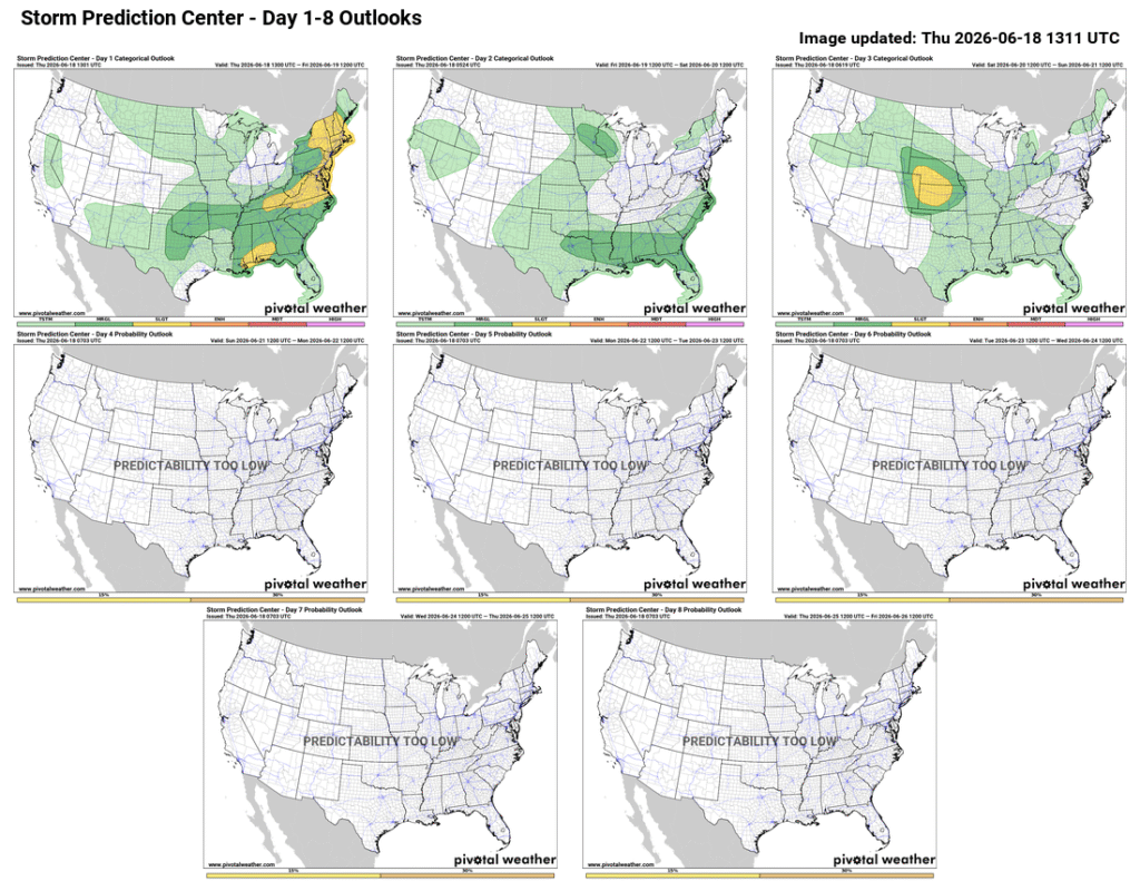
The weekend of June 19th through the 21st is a busy one, with both Juneteenth and Father’s Day. While most areas are expected to remain quiet over the weekend and into next week, the central US could see severe weather on Saturday the 20th into Sunday the 21st.
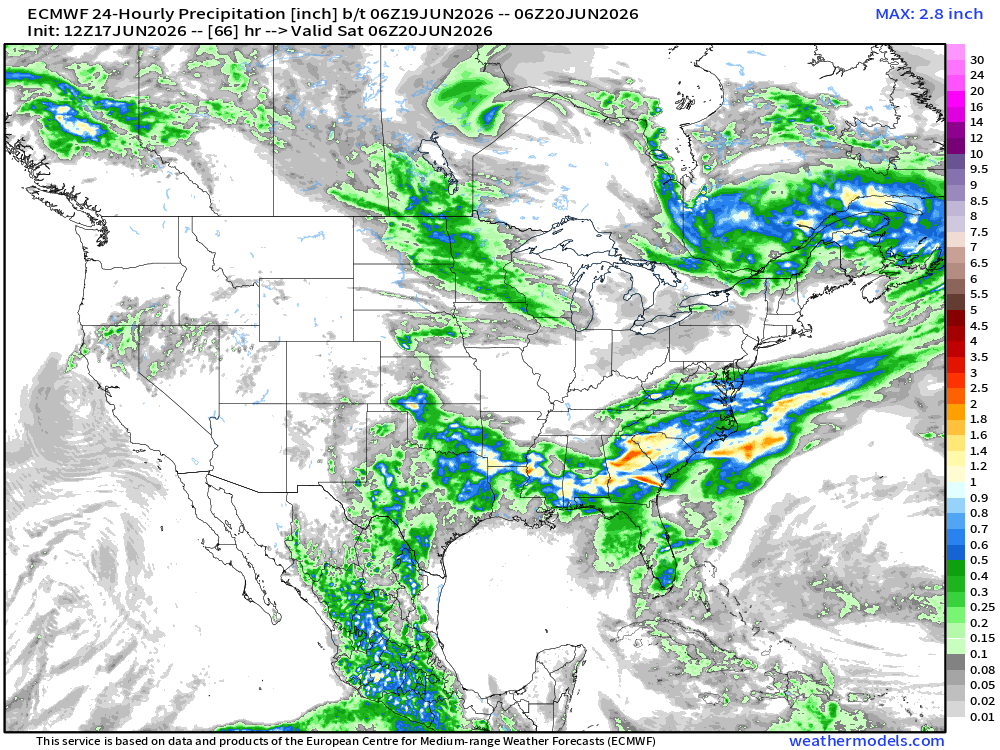
Starting Friday, June 19th, the Western US should see clear skies, though it will remain on the warmer side in the Southwest, Southern Plains, the Central Great Basin, and California. The Eastern US will see cooler temperatures with widespread rain. As the remnants of Andrew move through the Lower Mississippi Valley and Southeastern US, excessive rainfall is expected, bringing 6 to 7 inches of rain across the region. Locally higher or isolated systems may bring 10-15 inches of rain, and potentially even 20+ inches, causing significant flash flooding when they occur.
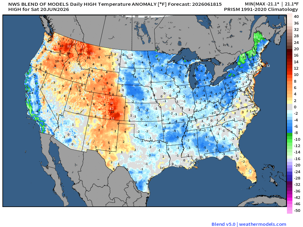
On Saturday, much of the US is expected to see sunshine with some clouds, with some scattered showers across the Northwestern and South Central US. Temperatures across the country are expected to be near average, with the 80s and 90s in the south and California, and the mid-70s in the north. The Northeast is expected to see temperatures in the 60s, while temperatures across the Rockies are expected to be well above normal.
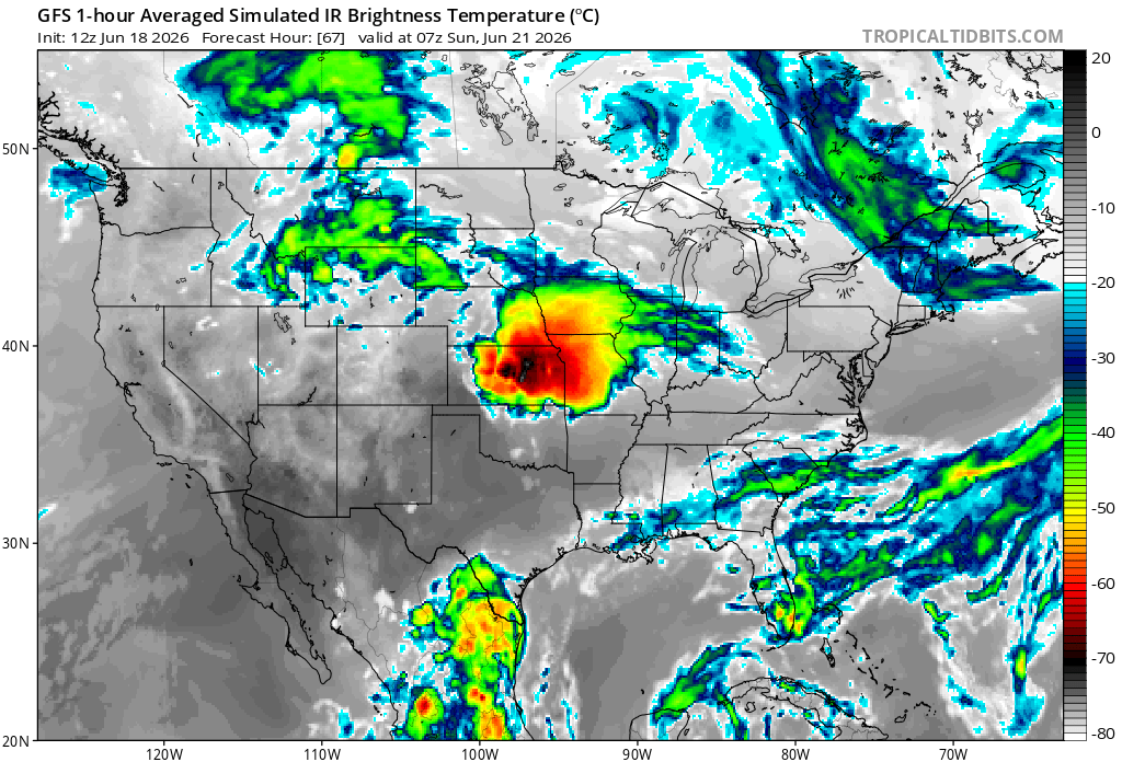
Overnight into Father’s Day, the Southwest US and California should see clear skies and average temperatures. Overnight from the 20th to the 21st, severe weather is expected to develop in Kansas before moving into the central plains, bringing tornadoes, hail, severe thunderstorms, and wind. The Simulated IR image represents cloud column height, with darker colors indicating higher cloud tops. and more energy available for storms.