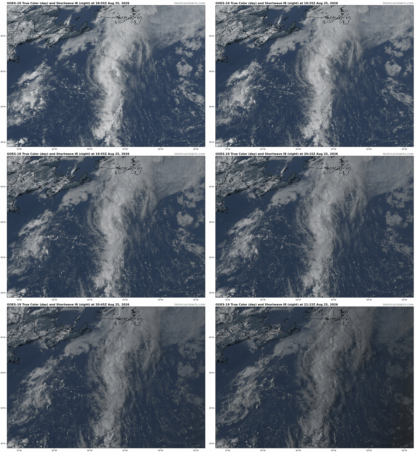
Showers and thunderstorms remain disorganized with a low pressure system a few hundred miles northeast of Bermuda. The system is heading towards cooler water, and any opportunity for tropical development will likely be gone by tonight.
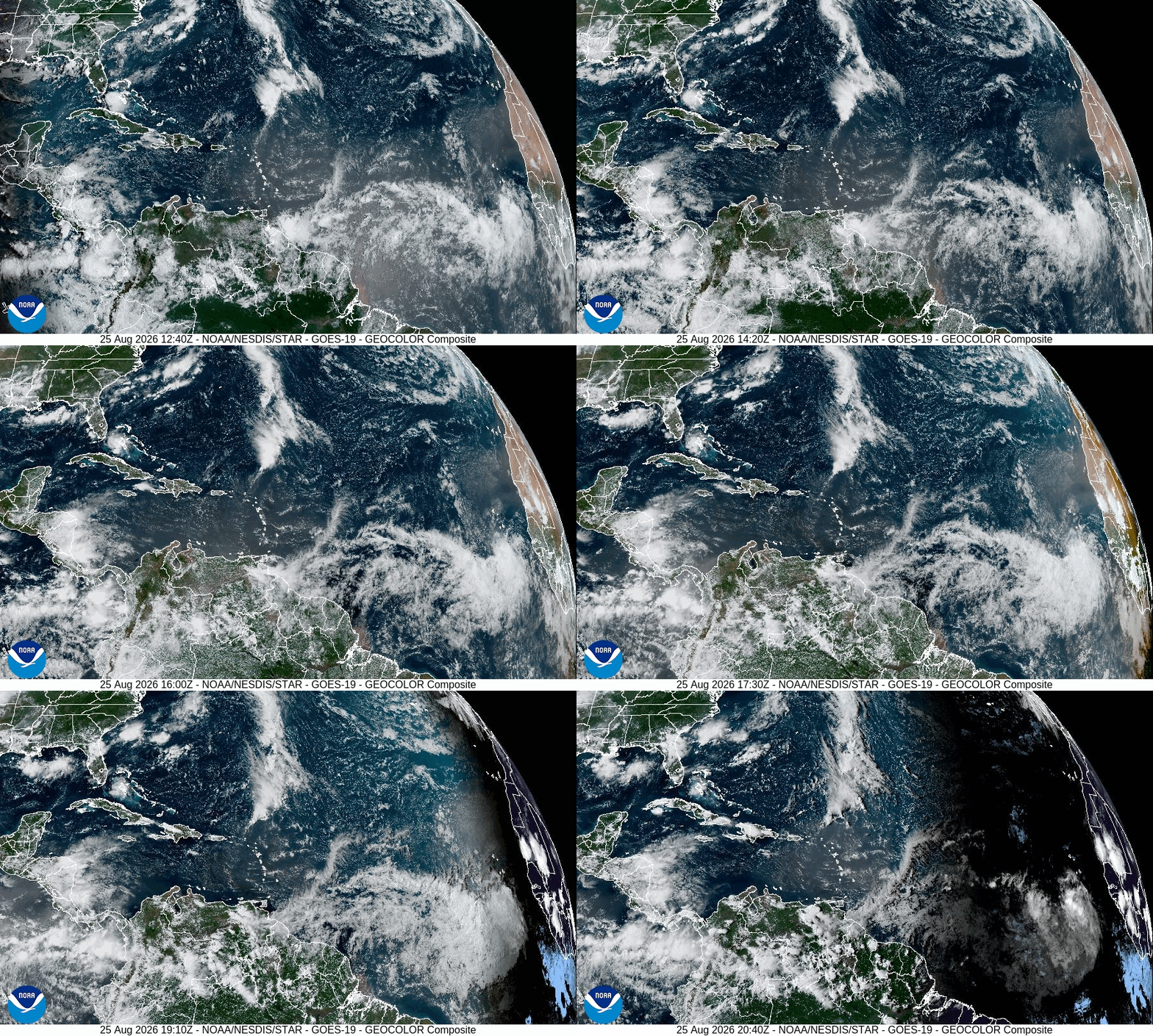
A tropical wave in the central Caribbean is centered near 68W, moving westward at 10-15 mph. It is producing little to no shower or thunderstorm activity due to some Saharan dust nearby, and development is not expected. A second tropical wave is near 50W, moving westward at 15 mph. This wave is also producing little shower activity, and development is not likely.
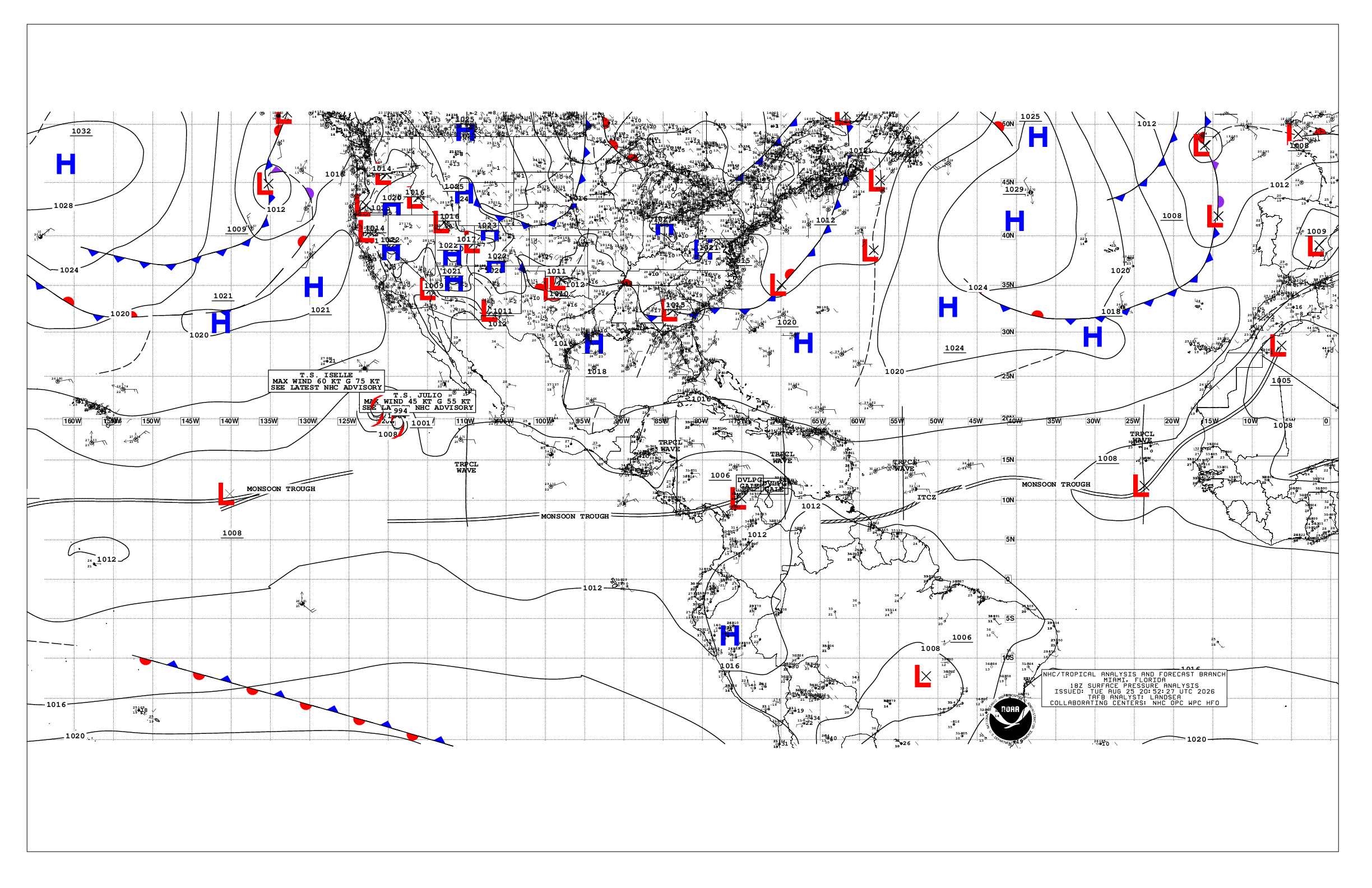
In the eastern Atlantic, a tropical wave is passing south of the Cabo Verde Islands, located near 23W, moving toward the west at 15 mph. An area of low pressure has developed along the wave near 12N/23W. As it continues westward, conditions are marginally favorable for some development over the next couple of days. However, as it continues westward into the central and western Atlantic, conditions will become less favorable, and the window for development will slowly close. Notably, many forecast models today have backed off on the development of this system later this week.
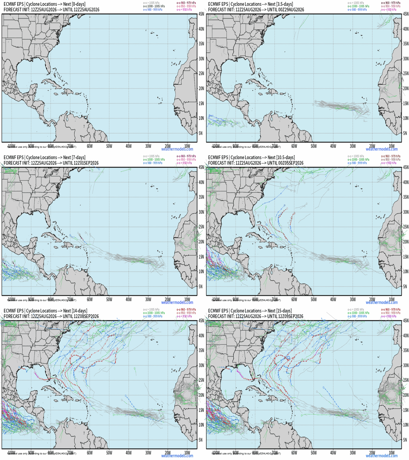
Elsewhere, there are no other areas showing signs of organization, and tropical storm development is not expected during the upcoming week.