For much of this past winter, the weather pattern across the United States featured a ridge of high pressure across the West, and a trough of low pressure across the East. As a result of this, most of the West had a record-warm and very dry winter, while the East, especially the Northeast, suffered through record cold and snowfall. As we head into the final weekend of June, that pattern is returning, at least for a little while, across the county.
Temperatures have soared well over 100 for the past few weeks across the Southwest and into interior California, as is typical for summer. That heat will spread northward this weekend, with temperatures rising well above the century mark as far north as interior portions of Oregon and Washington, as well as parts of Idaho, western Montana, and even southern Canada. Across the deserts of eastern Washington and Oregon and Western Idaho, some readings may exceed 110 degrees. The heat will even extend west of the Cascades, with highs rising into the 90s for Seattle and Portland. Numerous records are likely to be broken across the Northwest. Temperatures may drop a few degrees as we head into the start of next, but the heat will remain in place for the next 7-10 days at least.
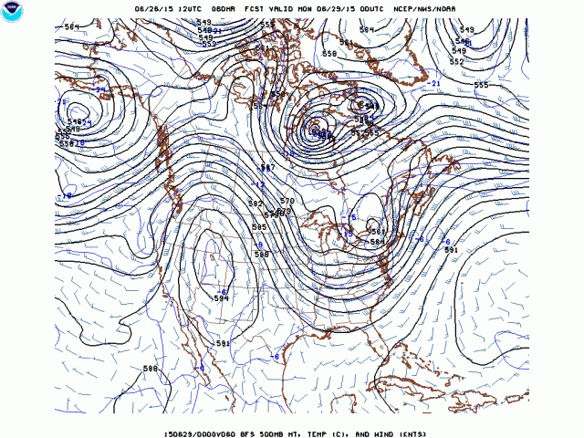
While the West bakes this weekend, an usually strong storm system for late June will bring gusty winds, heavy rain, and cool temperatures to the Northeast. The storm system will cross the Ohio Valley tonight and Saturday, and across Southern New England Saturday night and Sunday. To the south and east of the storm and it’s associated warm front, strong to severe thunderstorms are expected. The threat of severe weather shifts from the Ohio and Tennessee Valleys today into the Mid-Atlantic states and the Carolinas on Saturday. Damaging winds, hail, torrential downpours and a few tornadoes are possible in these areas as thunderstorms move through.
To the north, heavy rain and unseasonably cool conditions are expected from the Great Lakes into New England. Rainfall totals of 1-3 inches are expected across much of the region, with some isolated heavier amounts possible, especially across the Great Lakes. Flood watches are in effect for much of the region. While too much rain can be a bad thing, portions of this region are still in a drought after a very dry spring, so the rainfall will be welcome in some areas, especially the Northeast.
With the cloud cover and rain, temperatures will be as much as 15 to 25 degrees below normal this weekend. High temperatures will stay in the 60s across much of New York and Pennsylvania on Saturday, with some spots staying in the upper 50s all day. The chilly air will shift into central and northern New England on Sunday. Across southern New England, highs on Sunday will depend on the exact track of the storm system and how far north the warm front is able to get. A track south of Long Island will keep temperatures in the upper 50s and 60s for places like Boston and Providence on Sunday, where as a track right across southern New England could allow temperatures to rise into the 70s.
Drier and more seasonable conditions will return to the Northeast on Monday as high pressure builds in behind the departing storm system.